No Comments

The Good, The Bad, and The Ugly: Utica’s Genesee Street Transformation

Written by Arian Horbovetz and originally published on The Urban Phoenix blog

For 6 years, I’ve been dreaming of the day when Genesee street in downtown Utica, NY might be reduced from four lanes to two with a turning lane and bike lanes. To be perfectly frank, this was a reality I feared would never materialize. Despite the fact that countless cities and towns across the country have successfully executed a “road diet,” thus making a street safer for pedestrians, cyclists AND drivers with zero-to-minimal impact on travel time, so many Uticans had abrasively rejected my vision every time I brought it up.

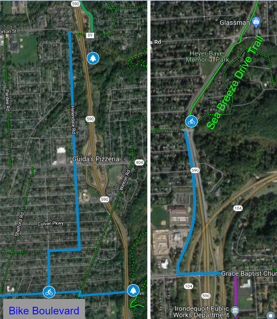
Thanks to the vision of Utica Common Council member Katie Aiello, that formally unrealized hope for Utica’s historic Genesee Street was re-striped a little over a month ago with two travel lanes, a left-hand turning lane and bike lanes, just like I’ve imagined so many times.

This was done as part of a 90-day trial period to assess the impact of the project. But as is typical when a city is introduced to the concept of Complete Streets and road diets for the first time, many people responded with a flurry of dissent.

Hot tip… if you ever want to sit back and watch a relentless flow of verbal bile and fire-scorched sense of logic, suggest a road diet in a downtown to a city and metro population for the first time. Just grab a substantial bag of buttery, salted popcorn and watch the horror unfold.

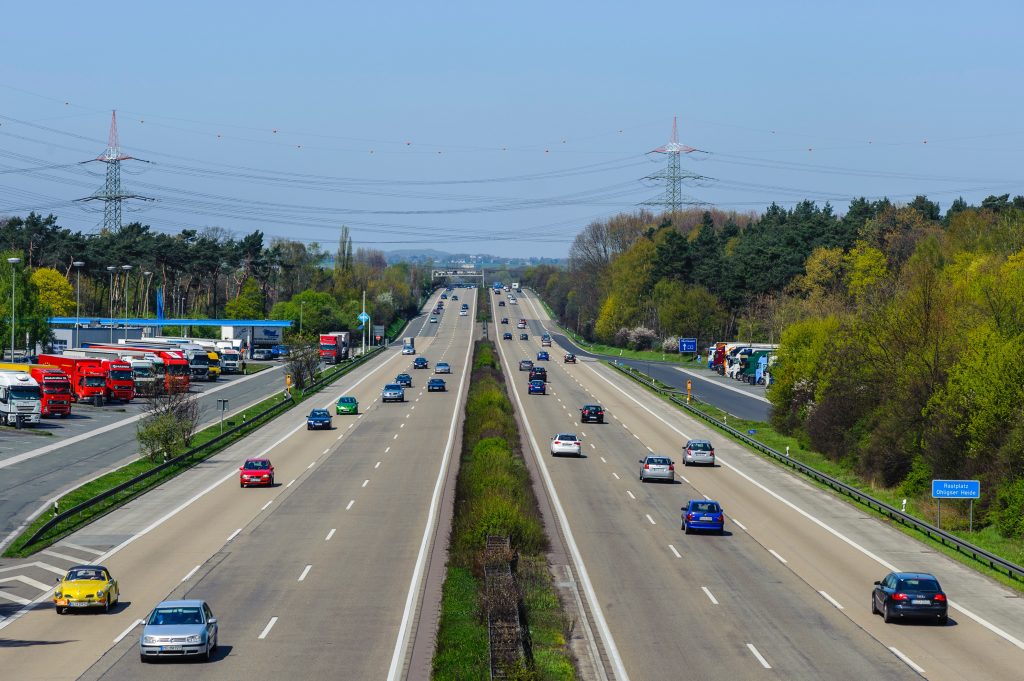
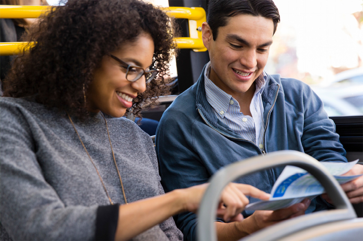
I’ve spent a significant amount of time assuring the people of Utica that projects like this make our streets safer for everyone, as well as helping to elicit private investment and provide greater accessibility of community resources for the population. A big part of this assurance is telling people that if this kind of project worked on the Main Street of my home city of Rochester with a population of over 200,000 people, it will work for a city with a population of just over 60,000 people. Genesee Street in Utica and Rochester’s Main Street downtown each have similar daily traffic counts (approximately 9,000 vehicles per day, well below the 15,000-20,000 that begin the four-lane road conversation).

But, as usual with these sorts of projects, my fact-backed urgings and invitations to references and resources in support of road diets were often met with a “no thanks,” as many community leaders choose their own opinions over actual data that has been repeated hundreds, if not thousands of times. My favorite comments from leading members of a prestigious local organization implied that bike lanes and greater walkability would make the area more accessible for “crack dealers.”

The irony of the above social media take is that the opposite is far more often true… that walkability, traffic calming, and bike access complement and enhance small business and local arts culture.

What it all boils down to is this… many residents still have an insulated “out my front door” view that their city or community is unique. And while to some extent this is true, for the most part, Rust Belt (or as I like to call them, Robust Belt) cities are all dealing with, and recovering from, the same barriers. And again, as much as we struggle to admit the solutions of de-prioritizing the automobile, creating small business-friendly environments, solving issues of equity and access and laying the fertile soil for human-centered economic growth are the broad but key lenses of change for all communities, it’s the proven truth. Despite the aforementioned opposition by many of Utica’s community leaders, the road diet that has taken place on Genesee Street is a small but significant puzzle piece with regard to the solution.

Maybe you’re still not comfortable thinking that your city isn’t as unique as you think it is. OK, I’ll concede that for a moment… but what I will not waiver on is that, as soon as we Americans get in our cars, we act more predictably than ever.

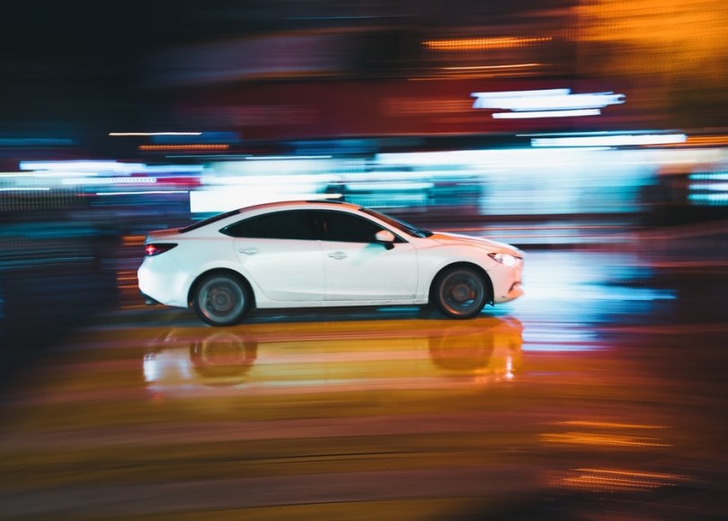
We all make subjective statements like “Massachusetts drivers are the worst,” or “Indiana drivers always pass on the right.” The truth is, people don’t drive differently because they’re from a different locale. Real world data shows that there are scores of given principles that determine the behavior of drivers. If the roads are wide, people will drive faster. If there are no vertical points of reference (trees for example) people will drive faster. If there is parallel parking, people will drive slower. If the lane is 9 feet wide instead of 11 feet wide, people will drive slower. And why is automobile speed so important when blended with walkability? Because of the shocking data from the National Traffic Safety Board…

A pedestrian hit by a car traveling 40 miles per hour is nearly twice as likely to be killed than if the car was traveling 30 miles per hour. Building infrastructure that reduces speeds, even by a few miles per hour, has the potential to save lives. But in order to do this, we must accept that traffic in our community doesn’t behave differently than traffic in other locales. We must accept that the drivers in Utica behave the same way as they do anywhere else… it’s the infrastructure that determines how safely or unsafely people pilot their vehicles.

This is typically where people will stand up and point out that cyclists and pedestrians break the law as well. My answer is always the same… sure, just like drivers, those who walk, bike and scooter break the law… the difference is that they are not piloting a 3,000-6,000 pound vehicle capable of 100mph that doesn’t just threaten their own life, it threatens the life of other people and property as well. Car crashes are the close #2 killer of children and teens, after gun violence. The NHTSA states that car crashes in the United States cost nearly a trillion dollars annually. And much of this burden is directly shouldered by the taxpayer. Why, then, would anyone rally against a mobility strategy that had the potential to save lives, lessen the chance of personal injury AND save taxpayer money?

The answer is entitlement that is always thoroughly-veiled in the word “freedom.” Drivers often view projects like this as yet another assault on their personal freedom. The irony, of course, is that transportation infrastructure that prioritizes the most expensive modality (automobiles) means that one doesn’t have a choice in how to access jobs and resources in their community. Because driving is subsidized so heavily in the US, there is no equitable alternative that is feasible or practical. Because of far higher gas taxes, gasoline in Europe costs twice as much… but the average American spends four times as much on transportation as the average European. This has led to the antithesis of transportation freedom for the American, replacing it with a blatant “pay-to-play” scenario. You must own a car to have the opportunity to succeed.

No, simply re-striping Utica’s Genesee Street won’t, on its own, invigorate a pedestrian and bike-friendly culture in the city’s downtown. No, it won’t single-handedly increase sales at local stores, restaurants, museums and theaters. It should be seen, instead, as a social and economic fulcrum, or a sort of fertilized soil that can help grow the seeds of prosperity for Utica’s future. It’s a small step, but one that so many cities have taken toward a more socially and economically prosperous community.

1 Comment

Winter Cycling

Jesse Peers (white man) stands in front of Reconnect Rochester door at the Hungerford Building.

By Jesse Peers, Cycling Manager at Reconnect Rochester

Before we get too far, we have to put a plug in for one of our upcoming events: a free Winter Cycling Class on Saturday, December 10! Join us at 11am in the CDCR’s Gallery (1115 E Main Street, Door 3B) to learn more about biking in the snowy season (hot cocoa provided).

____________________

Transportation parity in Rochester, New York can’t ignore winter. It’s not good enough or equitable to have a multitude of transportation options in the spring, summer and fall, and to have to resort to driving a car of your own in the winter. That’s why Reconnect Rochester has been championing better plowing of sidewalks and the clearing of bus stops so transit users don’t have to wait in the street for a bus.

Convincing people to bike in the winter is admittedly a harder sell. At first glance, who wants to bike in the cold? And especially when there’s snow?! I’d concede to you… EXCEPT, city after city after city after city after city shows that normal folks will bike in the winter, especially if dedicated bike space is kept clear. Let’s go over some facts and misnomers. Even if you choose to never bike in winter, at least you’ll realize why some choose to.

1. Winter biking doesn’t have to be an extreme sport! In fact, it used to be pretty normal. NBD (no big deal). 

Browse old bike periodicals and you’ll come to the same conclusion. Granted, once we entered the Eisenhower and Robert Moses era, winter biking became less common but that was due to the surge of automobiles dominating the roads, not the existence of winter itself.

Winter cycling in action; Road to Perdition
The opening scene of Sam Mendes’ film Road to Perdition gives us a glimpse of how ordinary and nonchalant biking in the winter used to be.

2. There’s no difference between a 10-minute walk in the cold and a 10-minute bike ride in the same elements.

Lots of people take a regular walk outside in the winter. Perhaps they’re a dog owner taking their pet out on their “daily constitutional.” Or someone taking a walk in their neighborhood or further afield to enjoy nature. Those aren’t “extreme.” Neither is biking in the cold for a finite amount of time. In fact, biking in the cold tends to be more comfortable than walking because:

3. Biking makes the temperature feel about 15° warmer.

Because of the moderate “work” you’re doing turning those pedals, your body warms up. You can literally make three months of 30° feel like three months of 45°! That’s why cyclists and joggers wear less layers than they would otherwise when the temperatures drop. This outdoor exertion warming your body up makes winter more bearable for many. Necessary side notes:

  • Body-temp-wise, biking is more comfortable than waiting at a bus stop.
  • That “+15° thing” is why summer can sometimes be the least comfortable time to ride.
  • Give it 5 minutes; the first 5 minutes are the most uncomfortable before you get into a rhythm.
  • Layering is key: You want to be cool when you bike at all times – not cold, not warm, certainly not hot. Sweat is your enemy when biking in the winter.

4. As snowy as Rochester is, most winter days are cold temps and clear streets.

If someone chose to leave their bike at home on days when arterials have snow on them and biked only when those primary roads were clear, they’d be biking the majority of winter. Increasingly, I’ve found that we tend to get most of our snow during a handful of big events each year. The rest is pretty manageable. My experience is that altogether there are maybe 5-7 workdays a year when biking is completely inadvisable because the roads are flat-out unsafe. Not too bad for one of the world’s snowiest cities! Working from home in those instances is not an option for everybody, but it’s more common than it used to be. Of course there are times when an alternate mode, such as bus or taxi, might be the way to go.

5. Biking in the winter isn’t an all-or-nothing thing.

Extending one’s biking season happens by degrees. All cyclists start as fair weather cyclists, and that’s okay! When folks want to bike more, they first acclimate to riding at night or in the rain. Then they might extend their season to riding in the 50s. Then the 40s. The next step is 30s with clear streets. Then 20s with clear streets. Last of all is biking when there’s snow on the ground or when temps are super frigid. If you never get to those later phases, no worries! But it is possible due to studded tires, one of the best investments a Rochester cyclist can make.

Winter biking accessory: studded bike tires

6. The City of Rochester knows it needs to make progress in terms of clearing bike infrastructure in the winter.

It’s a challenge to do so, but the Rochester 2034 Comprehensive Plan acknowledges strides must be taken. After all, Buffalo’s Department of Public Works clears their bike lanes and shoulders.

For starters here, Reconnect Rochester has advocated for the Genesee Riverway Trail be cleared from downtown to the University of Rochester. Since the squeaky wheel gets the grease, let your councilmembers know that clearing of some bike infrastructure in the winter should be prioritized.

Winter Maintenance excerpt from Rochester 2034 Comprehensive Plan: "While it may not be reasonable to expect complete winter maintenance of all bicycle and pedestrian facilities in the near future, strides must be taken to work in that direction"

In Sum…

If you don’t want to bike in Winter, you don’t have to! But it’s probably easier and more feasible than you think. Those who choose to bike in Winter, taking advantage of Rochester’s average 4.1-mile commute, deserve better accommodations and to be passed safely and courteously as the law requires.

Average Commute Distance graphic for Rochester, NY. Average is 4.1 miles. Highlighted portion: "commute travel makes up only one-sixth of daily trips in the region. Other trips are typically shorter"

Want to Know More?

If you’re interested in learning more, come to our free Winter Cycling Class on Saturday, December 10 at 11am in the Community Design Center’s gallery space (1115 E Main Street, Door 3B). It’s chock full of practical tips to get you started.

If you want to learn more on your own, these two books are highly recommended:

No Comments

Bike Access to Nature

By Jesse Peers, Cycling Manager at Reconnect Rochester

I say this on my history bike tours a lot: If I could temporarily time travel back to one decade, it’d be the 1890s. In this decade, the up ‘til then economy-minded City of Rochester started a massive investment in the public realm: it developed its world-class park system and with the electrification and extension of the trolleys, residents could hop on a streetcar and visit our parks and beaches at their leisure. The 1890s is also renowned as the greatest bike boom in history and automobiles hadn’t yet dominated our streets.

Bike History Books
Rochester’s bike history is featured quite prominently in these four recent books

One of the bicycle’s greatest selling points at the time was the ability to access these newly developed parks and to escape the city into nature whenever you wanted. The world was at your fingertips – just a short pedal away! In the early twentieth century, Rochester cyclists would make that access to nature and the surrounding countryside even easier by pioneering a system of sidepaths through Monroe County. For a while, cyclists came to Rochester from afar to see top-notch bike infrastructure!

In Rochester’s early days, the city center was surrounded on all sides by “verdant nurseries and blooming orchards.” Visitors to the Flower City were awed by the “seemingly endless acres of blooming rose bushes, tulip beds & fruit trees, encircling the city.” Before those areas were taken over for housing, Rochester’s early Parks Commissioners proposed a park boulevard 300 feet in width encircling the city with a number of small parks scattered along its route. Instead, priority was given to two large parks straddling the river: “South Park” (Genesee Valley Park) and “North Park” (Seneca Park).

That original idea, though, kept resurfacing as subsequent mayors toyed with the idea of connecting the growing park system. Like many, we are mesmerized by this 1911 vision for Rochester. Because Rochester’s large parks were “comparatively remote,” planners felt their usefulness could be “much enhanced by narrow, extending arms reaching out into the surrounding territory and forming park-like approaches to them.” These connective parkways  would “multiply in effect the extent of park area conveniently available to the community.”

Map of Rochester

Sadly, the costs were too prohibitive and the project was dropped. (Two small beginnings though were made towards its realization: Seneca Parkway in Maplewood and Genesee Park Boulevard in the 19th Ward). For an example of a peer city that got much closer to achieving a similar vision, check out Louisville, Kentucky.

Louisville Loop Overview
Though they are still working towards its full realization, Louisville, Kentucky’s Olmsted Parks are connected with Parkways. Learn more about the Louisville Loop.

With another bike boom happening, the recent adoption of Rochester’s Children’s Outdoor Bill of Rights, the expansion of the City’s Bike Boulevard network, and the simultaneous creation of Active Transportation Plans for the city and county, we thought it a good time to revisit this concept of bike access to nature and our parks. Using the 1911 vision as our guide, let’s examine our modern bike network as connective tissue to our stellar parks.

Rochester's Children's Outdoor Bill of Rights

The Highland Crossing Trail, which many residents don’t know about since it hasn’t been incorporated into Google Maps’ bike layer yet, was a unique collaboration between Brighton and Rochester. With the Erie Canal Trail, it connects Genesee Valley Park to Highland Park. These trails together with the Genesee Riverway Trail make a wonderful seven-mile recreational loop we recommend you try sometime.

Bike Route Map
Bike Route Map

Recurrent calls in the early twentieth century to secure the Pinnacle Hills as parkland connecting Highland Park and Cobbs Hill Park were unsuccessful but today’s Bike Boulevard through Swillburg and Upper Monroe does a good job of connecting them.

Bike Route Map
Bike Route Map

Connecting Cobbs Hill to Irondequoit Bay and what is now Ellison Park is harder. The 1911 planners called for an extension of Richs Dugway Road but today’s railroad tracks present a significant barrier, as does the area around Wegmans and the “Can of Worms” interchange. For now, Browncroft Blvd, Blossom Rd and Highland Ave can be used. Living in the Culver and Merchants triangle, my kids and I are a 10 minute bike ride away from Ellison Park – a ride we cherish, especially in the Fall. We turn off of Browncroft onto Shaftsbury and Corwin Roads for a low-stress approach to the Park.

Bike Route Map
Bike Route Map

Though a parkway or trail extending east to west “along the low land just south of the Ridge Road” and today’s 104 isn’t possible, the El Camino Trail and the new Bike Boulevard through 14621 can connect Seneca Park to Irondequoit Bay.

Bike Route Maps

To connect the Genesee River and Seneca Park to Durand Eastman Park, the 1911 plan called for a connection westward “up one of the little valleys” to the northerly end of Seneca Park. Check out this creative route by Pam Rogers.

Bike Route Maps

To connect downtown with Edgerton Park and further north, we all know Lake Avenue must be avoided at all costs by bike. But the new Bike Boulevard along Plymouth parallels Lake Avenue and gets you all the way up to Kodak Park in a low-stress manner through the gorgeous Maplewood neighborhood.

What are your favorite low-stress ways to visit nature by bike? Let us know! If you agree with the Children’s Outdoor Bill of Rights declaration that every Rochester child should be able to “safely explore their community green spaces” and nearby parks, we’d ask you to advocate for continuous, high-comfort bike infrastructure for all ages and abilities for the City and County’s Active Transportation Plans this year.

8 Comments

A Resident’s Proposal for a New Mixed-use Trail in Irondequoit

If you’ve ever navigated the world without a car (whether that be for necessity or recreation), you’ve probably had a, “Why can’t I get over there from here?” moment. Guest blogger, Jack Rinaldo, had so many of these “moments” that he actually wrote up a proposal for a new mixed-use trail in Irondequoit, which would connect the eastern edges of Norton Street and Ridge Road. Curious? Read on for the nitty-gritty details in his own words.

Guest Blog by Jack Rinaldo

If you want to walk or bike to or from Southeast Irondequoit, you need to cross 104. There are only three locations to do so, highlighted in red in the picture below. Goodman Street and Culver Road have intersections with on/off ramps for 104. Both of these locations are dangerous for pedestrians and cyclists, no matter if they are on the road or the sidewalk. The other option is Bay Shore Boulevard. This street is calm, but it has huge hills at either end of it, making it unusable for most people.

These barriers cut off the southeast side from the rest of Irondequoit. Would you let your kids use any of the three current routes? I am an experienced and confident cyclist and I will not ride on those sections of Goodman or Culver.

Current map, annotated

The proposed new trail would run from Norton Street north to Ridge Road. As seen in the picture below, the trail would start just east of the Norton Street/590 onramp. The trail could run very close to the 590 onramp, similar to the Brooks Avenue/390/Erie Canal Trail setup as shown below. It would then run north, connecting with the road that the new Irondequoit town Department of Public Works (DPW) is on. This half mile section would potentially be the only new construction needed.

Once connected to the DPW road, trail users could use that road to reach Ridge Road. Additional sections of trail to the side of the road could be added as well if they are determined to be needed.

This trail would be similar to other local trails near highways such as the Route 390 Trail in Greece, and the Route 104 Trail in Webster.

Proposed trail connection map
Example map
Brooks Avenue, 390, & Erie Canal Trail

This new trail would easily connect to the Sea Breeze Drive trail as seen in the picture below. Once at Ridge Road, trail users go 1000 feet west to Kane Drive. Kane Drive is a nice calm street. Once at Kane Drive, they would proceed north until they met the Sea Breeze Drive trail at the Titus Avenue roundabout.

The new trail would also easily connect to the City of Rochester’s Bicycle Boulevards. Heading south, traveling 700 feet west on Norton Street brings you to Helendale Road. Helendale Road is another calm street. Once in the Laurelton neighborhood, use Spencer Road and Whittington Road to directly access the Bicycle Boulevard system on Farmington Road.

To connect the new trail to the other systems above, all that would be needed would be signage directing users along the route.

Proposed trail connection map

The newly expanded trail system would also connect all six of the schools in the East Irondequoit School district. Students and families could use the trail to access school facilities for class and extracurricular events.

  • Irondequoit High School is 400 feet from the Kane Drive/Ridge Road intersection, and a path to the school’s athletic facilities is on Kane Drive.
  • East Irondequoit Middle school is 1200 feet west of the Norton Road/Helendale Road intersection, then 500 feet up Densmore Road.
  • Laurelton-Pardee Intermediate School is 1700 feet from the Norton Road/Helendale Road intersection.
  • Helendale Road Primary School is directly on Helendale Road.
  • Durand-Eastman Intermediate School is almost directly on the Sea Breeze Drive trail.
  • Ivan Green Primary School is 1 mile away by safe neighborhood roads from Kane Drive.

The newly expanded system would connect many parks such as Irondequoit Bay Park West, Tryon Park, Durand-Eastman Park, the Lakeside Trail, SeaBreeze Amusement Park, Irondequoit Bay State Marine Park, and the beach at the Irondequoit Bay outlet.

Here is a link illustrating the new trail and it’s connectivity to the town: https://www.google.com/maps/d/edit?mid=1CTSRzSTvziHLSrxeJaSAt5wvJEjHc9Sd&usp=sharing (best viewed with Google Maps’ cycling layer turned on)

Irondequoit can look at the successes other towns have with trails, such as the new Brickyard Trail in Brighton, as well as the continued use of miles of trail that already exist in the region. Creating the new trail would be a great opportunity for the town to take unutilized land and better connect residents and neighborhoods, while promoting healthy and environmentally friendly transportation. The half mile of construction needed to achieve all of this would be very worth it.

No Comments

The Expectation of Speed

Written by Arian Horbovetz and originally published on The Urban Phoenix blog

Hop off the New York State Thruway at Syracuse, head South on the I-81 expressway and you will understand. Cruising above the city’s downtown, you see the urban streetscape as if you’re flying over it, past it, like it’s something you want to avoid on your way to another more rural destination. Lost on most who travel this vehicular express route is the truth that bypassing cities with above or below-grade highways was a principle element in the demise of American cities. Indeed, the worst thing that happened to our urban culture was creating the expectation that you, the driver, can speed through it, past it and around it.

From expressways to 4-lane one way streets, we have fostered a belief that any urban corridor should be traversable by car quickly and easily, even if the result is an erosion of walkable streets and small business interests. Fast cars mean less street level activity, simply because we as humans are averse to environments that are loud and dangerous… even if we aren’t always aware of it.

Today, I was almost hit by a car while legally riding my electric scooter on a city street. The driver accelerated around a slower car into the bike lane, and missed me by a foot as he sped away in his 2-ton pickup truck. The street in question has multiple lanes of traffic in either direction, giving the driver the sense that he is in control, and that this environment is built for speed. Anyone who stands in the way of this construct should be dismissed, even if it means the potential injury or loss of human life. This kind of street design doesn’t just empower drivers like this one to drive fast, it justifies it. The design of urban right-of-ways sends a clear message to everyone about what’s important, who is prioritized, and more importantly, who isn’t. Speed limit signs mean little when we create environments where the potential for speed is high and the risk of speeding FOR THE DRIVER is extremely low.

Our insanely overbuilt American roadways have created an expectation of automobile speed, while the byproduct is far too often severe injury or loss of life for drivers, cyclists and pedestrians. Nearly as costly is the effect that the expectation of automobile speed and convenience has on cities, communities and the way we prioritize space. When forty-four foot wide roads create a loud and uncomfortable pedestrian experience, the shops, storefronts, parks and street level amenities that rely on pedestrian prioritization fail as well.

The impact of speed on pedestrian loss of life is clearly highlighted by the fact that while vehicle miles driven was significantly reduced in 2020, the rate at which pedestrians were killed by cars actually went up. In fact, pedestrian deaths are at their highest rate in 30 years. And as always, we are quick to protect our children from any and all potential threats to their safety, and yet car crashes are the leading cause of death in children and teens.

The expectation of automobile speed, convenience and prioritization must be challenged as we begin to realize the nauseating metrics of car-centered communities. The importance of seeing cars as dangerous, exclusive and community-killing vehicles has never been so important.

1 Comment

ROC Cycling: Knowing Our Weaknesses, Building On Our Strengths

by Jesse Peers, Cycling Coordinator at Reconnect Rochester

When I saw the trailer for Why We Cycle years ago, I instantly knew how special this film was. Finally someone had made a gorgeous film about the myriad of reasons why people all over the world choose to traverse their communities by bike. I’m glad we were able to screen the documentary for a Rochester Street Films event in September 2020 and use it as a springboard to discuss local values and goals.

If you haven’t seen the film or weren’t able to take part in our panel discussion, watch them here.

Rent (or buy) the film

Watch our panel discussion

As our moderator, Mona Seghatoleslami, wrapped up the great discussion that evening, she said, rightly so, that “this is just the beginning of a lot of things.” Let’s examine several takeaways from the film itself, the chat amongst viewers, and our panel discussion, and where we go from here.

Culture at Large

Some participants felt our screening of this Dutch film was too lofty and dreamy. In terms of culture-at-large, we agree. Comparing the Netherlands and ROC is apples to oranges. Dutch culture is indeed vastly different! The Netherlands prides itself on having an egalitarian society, in which they strive for everyone to be shown respect. If you haven’t noticed, the U.S. has much room to improve in this regard to say the least. But that doesn’t mean we have to overturn societal values before we can become a more equitable community in terms of mobility, though that won’t keep us from trying. Other cities of all sizes surpassing Rochester in the national bike rankings proves this.

Being Vigilant and Showing Up

Our panelists made clear that to attain better bike infrastructure, it takes being involved in the process, showing up at meetings (even virtual ones these days) and organizing ourselves. As the old adage goes, “if you don’t do politics, politics will do you.” If the bike community was under the impression that after the adoption of the 2034 Plan, which encourages implementation of “complete streets” designs that accommodate ALL modes of travel, that this would happen overnight with no need for continued advocacy, we were mistaken (see State Street).

One of the words that was spoken over and over during our panel discussion, particularly from Brighton’s Robin Wilt, was “demand.” Just as the Dutch rose up in the 1970s to demand safer road conditions and greater accountability, the active mobility community is going to have to demand safer streets that are designed for all modes of travel, not just cars. We have to keep our leaders accountable to the 2034 Plan, remind them of their values and goals, and when opportunities arise, vote for leaders who stand behind this progressive, multimodal vision.

The Rochester Cycling Alliance (RCA) does our best to get the word out about public input sessions and other advocacy opportunities. Please make sure you’re on our mailing list and take those opportunities to provide input.

Rochester’s not a bad biking city!

There were varying opinions held by viewers about Rochester’s bikeability — some negative, some positive. Let’s look at the bright side first and identify some of Rochester’s advantages participants took note of in the chat: We are blessed to have the Genesee Riverway Trail, Erie Canal Trail, and an abundance of water and stellar public parks in our community. People pay a lot of money to come from all over the world to Cycle the Erie and we have free access nearby! Overall Rochester is pretty flat, which makes getting somewhere by bike less arduous. And the average city resident has a 4.1-mile commute to work, a journey that can be done by bike at a casual pace in less than 25 minutes.

As several people pointed out in the chat, Rochester has an impressive bike culture for a city of our size. There’s a wide variety of groups with different riding styles, and open-invite group rides take place most evenings during the riding season.

Rochester was awarded a bronze level status as a Bike-Friendly City by the League of American Bicyclists in 2012, 2016 and 2020. That’s not bad! A bronze status means we’re on the right track. Yes, there is a lot to be improved if we want to reach silver or gold, but we are a decent biking city already. In fact, I firmly believe Rochester could become the best biking city in the Great Lakes. It’s more within reach for us than other cities due to the advantages noted above. I know many people who are already of the opinion that Rochester is one of the #BikeLife’s greatest secrets. There are affordable neighborhoods within a 15-minute ride of downtown where car-free living is absolutely attainable. If biking on busy, main thoroughfares isn’t your thing (we don’t blame you!), often there are parallel side streets through residential neighborhoods that will get you to your destination in a timely, less stressful way. If you want to get more comfortable on your bike, consider signing up for one of our on-bike classes sometime.

Our Biggest Weakness: Not Zooming Out

Yes, Rochester is making progress in expanding our bike infrastructure. But there was a consensus on participants in the chat that the current process doesn’t work. As it is now, bike infrastructure is installed “where possible” along small, segment-by-segment stretches. Each self-contained project is overseen by a different design firm and it’s apparent there is no overall network vision guiding this process along predetermined priority routes. Because of this, we get a piecemeal, patchwork result where you can bike on one street for several miles and encounter bike lanes, sharrows or nothing at all.

Even the gorgeous cycletrack along Union Street got knocked pretty hard during our chat: It sure is pretty, but what’s it supposed to do? It doesn’t go anywhere and, as bidirectional cycletracks on one side of the street often do, it creates awkward transitions for those on bike.

“There’s a consensus emerging in the bike world that it’s more about quality of bike infrastructure than quantity (how many miles of bike lanes doesn’t matter as much as how safe & stress-free those miles are).” ~Brent Toderian

Furthermore, though the City is chipping away at its Bike Master Plan, albeit in small, often disconnected pieces, the suburbs for the most part have yet to get on board. Cyclists might be somewhat comfortable on some city streets with bike infrastructure and lower speed limits, but once they cross the city line into surrounding towns, that infrastructure disappears too much of the time.

Instead of a city full of bike lanes which are uncomfortable for most residents, we need to focus on less mileage but higher quality (protected!) bike lanes along strategic routes. Rochester and Monroe County could also use a more top-down “let it be!” approach when it comes to a usable bike network.

“The fast implementation of projects proved to be far more effective than the traditional model of attempting to achieve near unanimity on projects even when you already have consensus that the status quo doesn’t work. Efforts to reach an idealized consensus have resulted in years of indecision, inaction, and paralysis-by-analysis.” ~Streetfight (Sadik-Khan and Solomonow)

Getting local leaders out of their cars

This next topic brought up by participants is probably unrealistic, but holy moly would it move the needle like nothing else! (And it was discussed on September 12th): Getting elected officials, engineers and planners out of their cars. I suspect that many people in our governments and design firms who design and approve bike infrastructure, may never use that bike infrastructure themselves. If officials had to bike solo in rush hour through every segment of infrastructure they approved, we’d likely see very different bike infrastructure.

“In my perfect world, anyone working on bicycle infrastructure or planning should be handed a bicycle and told to ride it in their city for a month…That would certainly force the issue in the minds of the inexperienced or skeptical. We have been thinking car-first for decades, and that worked out pretty well for motorists and the engineers who cater to them. Now it’s time to switch it up.” ~Copenhagenize (Colville-Andersen)

More than a quarter of Rochesterians don’t drive everywhere, either by need or by choice. How incredible would it be for elected officials to show solidarity with their constituents and get around town a quarter of the time without their cars?

“When I look around the world at the growing list of cities that are once again taking the bicycle seriously, I can identify one primary factor: political leadership. Advocates and activists continue to do their part, pushing from the bottom upward. At the end of the day, though, it seems that policymakers exercising top-down leadership are the catalysts for real change…Politicians may notice…a personal brand boost when they take matters to the next level.” ~Copenhagenize (Colville-Andersen)

Representing All

Finally, panelist Mitch Gruber urged Rochester’s active mobility and bike community to do a better job of outreach to neighborhoods that don’t look like us – of listening to people who use their bikes in different ways than we do. This is something Reconnect Rochester is committed to working on. Our recent signing of the Greater Rochester Black Agenda Group’s statement that Racism is a Public Health Crisis was only a start.

Going into 2021, join us in being vocal about the benefits of biking to elected officials, stay tuned for advocacy opportunities, and join us for one of our workshops and cyclist gatherings in 2021.

Want to join the RCA email list to stay abreast of these opportunities? Drop me a note at jesse@reconnectrochester.org and request to be added!

14 Comments

What we like about Reimagine RTS plan. And a few things we’d change.

As you are probably aware, RGRTA is exploring changes to the RTS fixed-route transit system in an effort to “better meet the evolving needs of the region.” The project, called Reimagine RTS, aims to improve transit service in Monroe County, including the City of Rochester. Over 11,000 individuals have participated in the process by sharing ideas with RTS via an online survey and many public meetings and the first draft was released last month.

[ Read the Draft Recommendations here. ]

After reviewing the draft and hearing input from many of you, Reconnect Rochester would like to formally share our assessment – including the parts we like, and a few things we’d like to see improved upon… Read more

10 Comments

Reimagine RTS Draft Recommendations

If you recall, last fall RTS asked for the community’s help to reimagine our public transit system. Reconnect Rochester shared many of our recommendations and over 11,000 of you participated by sharing your own ideas with RTS via online survey or at one of countless public meetings. Well, today we’re dizzy with excitement as the first “Draft” proposal has finally been revealed…

Read more

No Comments

Be Prepared To Stop

The American Society of Civil Engineers grades the condition and performance of America’s transportation infrastructure as a ‘D’ or worse. Our roads and bridges are crumbling; Over 35,000 people are killed on our highways every year; Our transit systems are unable to keep up with demand. And the U.S. lags behind the rest of the developed world in infrastructure investment.

This week Reconnect Rochester hosted a screening of Be Prepared To Stop, a documentary film that talks about these challenges from the perspective of the freight transportation industry. We asked a panel of local experts in infrastructure policy and sustainability for their views on what America needs to do to put ourselves on the road to sustainability.

Watch the trailer and panel discussion below…

Moderator: 

Elissa Orlando
Senior VP for Television & News
WXXI Public Broadcasting

Panelists:

Enid Cardinal
Senior Sustainability Advisor
Rochester Institute of Technology

Jim Hofmann
Principal & Office Leader
Stantec

Richard Perrin
Director of Planning (eastern U.S.)
T.Y. Lin International

James Stack
Executive Director
Genesee Transportation Council

3 Comments

Sidewalk Snow Removal: How Are We Doing in Monroe County?

Story by: David Riley
A Rochester resident and a former journalist, David is completing a master’s degree in urban planning at the University at Buffalo…

Winter sidewalk. Rochester NY.

For tens of thousands of Monroe County residents, a sidewalk isn’t just a convenience. It’s a vital connection to the world.

Nearly 12,000 people here walk to their jobs, U.S. Census data shows. Another 13,000 walk to and from bus stops in order to take public transportation to work, including as many as 1 in 3 workers in some city neighborhoods. Many people also rely on sidewalks to get to and from school, medical appointments or grocery stores, much less to go for a jog or walk the dog.

So for many people, it isn’t simply an annoyance if part of a sidewalk turns into a snowdrift during the winter. It’s a disruption that forces people going about daily routines to wade through snow or take a dangerous chance and walk in the street. For people with disabilities, a snowy sidewalk can make a usually simple outing impossible.

Yet keeping sidewalks clear is not always a priority for municipalities in the Northeast and Midwest. The City of Rochester does more than many other Snow Belt cities. While property owners here are responsible for clearing adjacent sidewalks of snow and ice, the city also provides supplemental sidewalk plowing anytime it snows at least 4 inches. The program has drawn some interest in recent years from Buffalo and Syracuse, neither of which generally plow sidewalks beyond public buildings. A handful of local suburbs also provide some municipal sidewalk plowing, including Greece and Irondequoit. Read more

2 Comments

Beyond the Motor City… In Case You Missed it at the Dryden

Screen-Shot-2016-03-20-at-11.32.05-PM

Tonight’s screening of Beyond the Motor City at the Dryden Theater was, in my opinion, a phenomenal event for Rochester. After the film, seven panelists discussed local transportation issues and took questions on the subject from the nearly full audience. Of course, in the allotted timeframe we were only able to scratch the surface, but this is a conversation that we will carry on in the months, and years ahead. If you’re not already, now would be a good time to make sure you’re following Reconnect Rochester on Facebook external link. And, in case you missed tonight’s event, here is Beyond the Motor City in its entirety. Enjoy…

Beyond the Motor City from Film Sprout on Vimeo.

4 Comments

Beyond the Motor City — at the Dryden Theater, June 28. Bring Your Pals—It’s On Us!


To view this site, you need to have Flash Player 9
or later installed. Click here to get the latest Flash player.


BLUEPRINT AMERICA: BEYOND THE MOTOR CITY is screening in a handful of cities this May and June. It will screen here in Rochester on June 28, 2010.On Monday June 28 at 7:00pm you are invited to a FREE screening of PBS’s eye-opening film, BLUEPRINT AMERICA: BEYOND THE MOTOR CITY at the Dryden Theater. The documentary is touring cities across America to raise questions—and seek answers—about the future of transportation in America. Can we build the “infrastructure of tomorrow” today? Can the cash-strapped and car-dependent cities of the so-called Rust Belt become new models for fast, clean, public transit? The links and similarities between Rochester NY and Detroit MI are glaringly obvious—and I think you owe it to yourself to see this film.

This FREE public event will come to you 100% FREE of charge thanks to RRCDC external link, Reconnect Rochester external link, Rochester Rail Transit Committee external link, Rochester Trolley & Rail external link, Empire State Future external link, New York Museum of Transportation external link and PBS external link. Immediately following the film a panel consisting of City planners, urban growth experts, bike & transit advocates, and concerned citizens will discuss topics including:

  • New hopes for accessible, clean, and modern mass transit in America
  • The role of cities, and consumers, in shaping the next generation of transportation systems
  • A roadmap for revitalizing the way we move through our cities and neighborhoods

This will surely be a thought-provoking FREE event and a great opportunity for you to take part in a very important FREE conversation for our community. So mark your calendar and bring some friends. Did I mention this is FREE?!

More About the Film:

The latest installment in the BLUEPRINT AMERICA initiative takes viewers on a cinematic journey in search of America’s transportation future. Pictured: A view of downtown Detroit from the top of the run-down Michigan Central Train Station. (Photo Credit: Lloyd Handwerker/WNET.ORG)BLUEPRINT AMERICA: BEYOND THE MOTOR CITY external link examines how Detroit, a grim symbol of America’s diminishing status in the world, may come to represent the future of transportation and progress in America. Narrated by Miles O’Brien, the film explores Detroit’s historic investments in infrastructure—from early 19th- century canals to the urban freeways that gave The Motor City its name and made America’s transportation system the envy of the world.

Correspondent Miles O’Brien says he’s saddened every time he returns to the Motor City and sees “the ruins of a once great city.” Pictured: Michigan Theatre, now a parking garage. (Photo Credit: SNWEB.ORG Photography/Sean Doerr)But over the last 30 years, much of the world has left Detroit—and America—behind, choosing faster, cleaner, more modern transportation. In a journey that takes us into the neighborhoods of Detroit and then beyond to Spain, California, and our nation’s capital, BLUEPRINT AMERICA: BEYOND THE MOTOR CITY urges us to ask how we might finally push America’s transportation system into the 21st century.

Using CGI animation combined with current footage of Detroit, the film brings the vision of the city’s possible transportation future to life. A network of trains within the city center would run along main thoroughfares. (Photo Credit: Lloyd Handwerker and HUSH Studios, Inc.)BLUEPRINT AMERICA: BEYOND THE MOTOR CITY is part of Blueprint America, a national, multi-platform initiative examining the state of America’s transportation infrastructure. Blueprint America was created and produced by Thirteen for WNET.ORG and supported by the Rockefeller Foundation and the Surdna Foundation.

Event Info:

Time: Monday June 28, 2010 at 7:00pm

Location: Dryden Theater (Map it external link)

Cost: FREE – Zero – Zilch – Nada – FREE FREE FREE

7 Comments

Rochester’s Case for a Streetcar Line

The following article was published at RochesterSubway.com on 2010/02/16. Two weeks later 6 citizens got together and Reconnect Rocheseter was born.

Photo simulation of a new Rochester streetcar on Main Street.

America seems to have taken a renewed interest in mobility. Maybe due to President Obama’s recent commitment to high speed rail—or perhaps the positive results seen in towns like Portland and Denver have caught our collective attention. Whatever the reason, from the top down, people are rethinking our automobile-oriented culture—and getting excited about the possibilities.

There’s also good reason to focus on transportation as a way of jump-starting economic development. Industry requires access to people. And people need to have easy access to centers of employment. Continually improving access makes further development possible. Interrupting access will have the opposite effect. Likewise, doing nothing or simply maintaining existing infrastructure for an extended period of time will also hinder development.

For 30+ years Rochester has relied on the infrastructure choices it made in the 1950’s, 60’s, and 70’s. At that time we made development choices that encouraged our population to emigrate from the downtown core. We scrapped our extensive streetcar system, choked off downtown with the construction of the inner-loop, and paved super highways to take us from the city to the NY State Thruway and beyond. Since then that’s exactly where our money, our workforce, and our future have gone—down I-490 and out of state.

Read more