ATTENTION all RCA members with a Facebook page! If you have been looking for a way to help and support the RCA and Bike Week, but have been too busy to make it to meetings, etc. you can help-out by letting your friends know about the event through Facebook or email.
If you have a Facebook page please cut and paste the following message into your status:
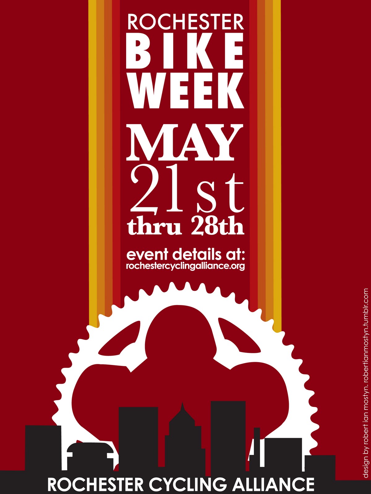
Rochester Bike Week is May 21st thru 28th. For a list of events visit: http://www.rochestercyclingalliance.org/
If you do not have facebook, but have an email account.. then simply send the above message to your friends via email.
Your help with messaging and getting the word out is crucial to the success of this event! What good is this event if no one knows about it! Also, frequent posts to your Facebook page over the next two weeks leading up to Bike Week will increase our messaging success!
SPREAD THE WORD! Thanks for your support…
Bike Week Committee