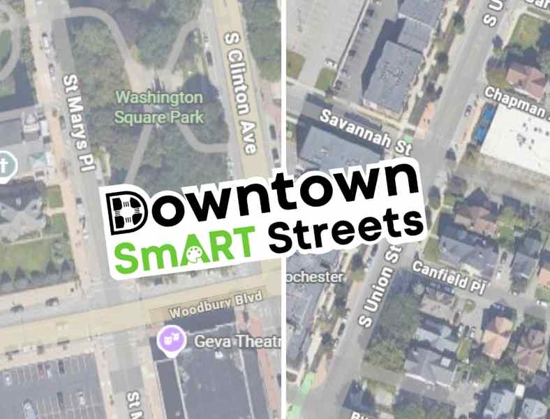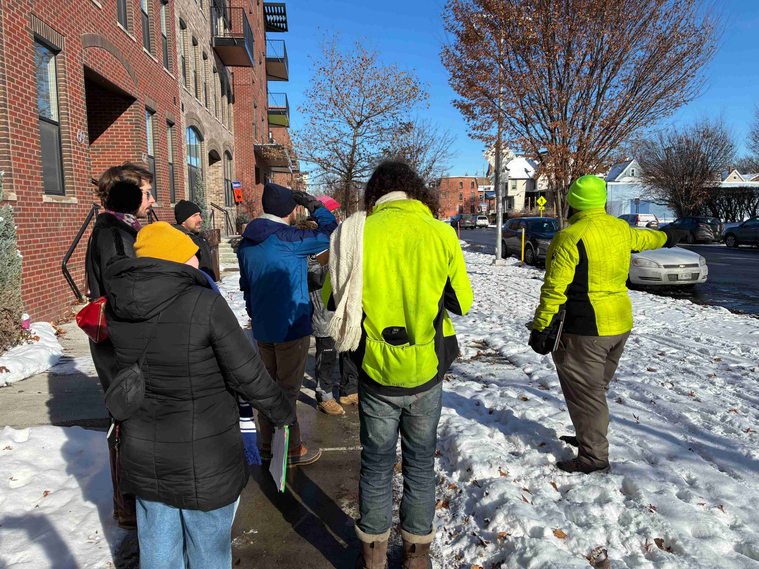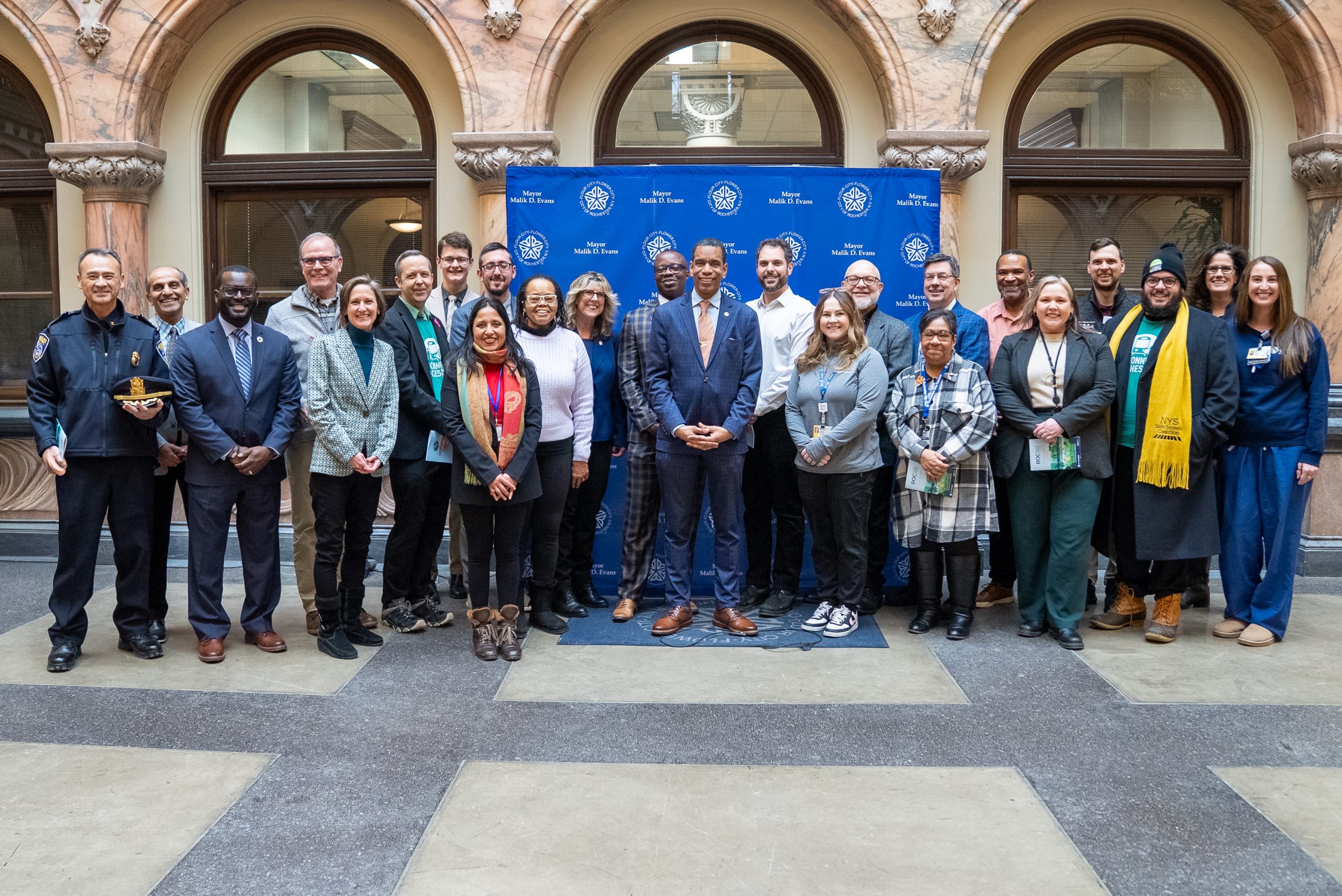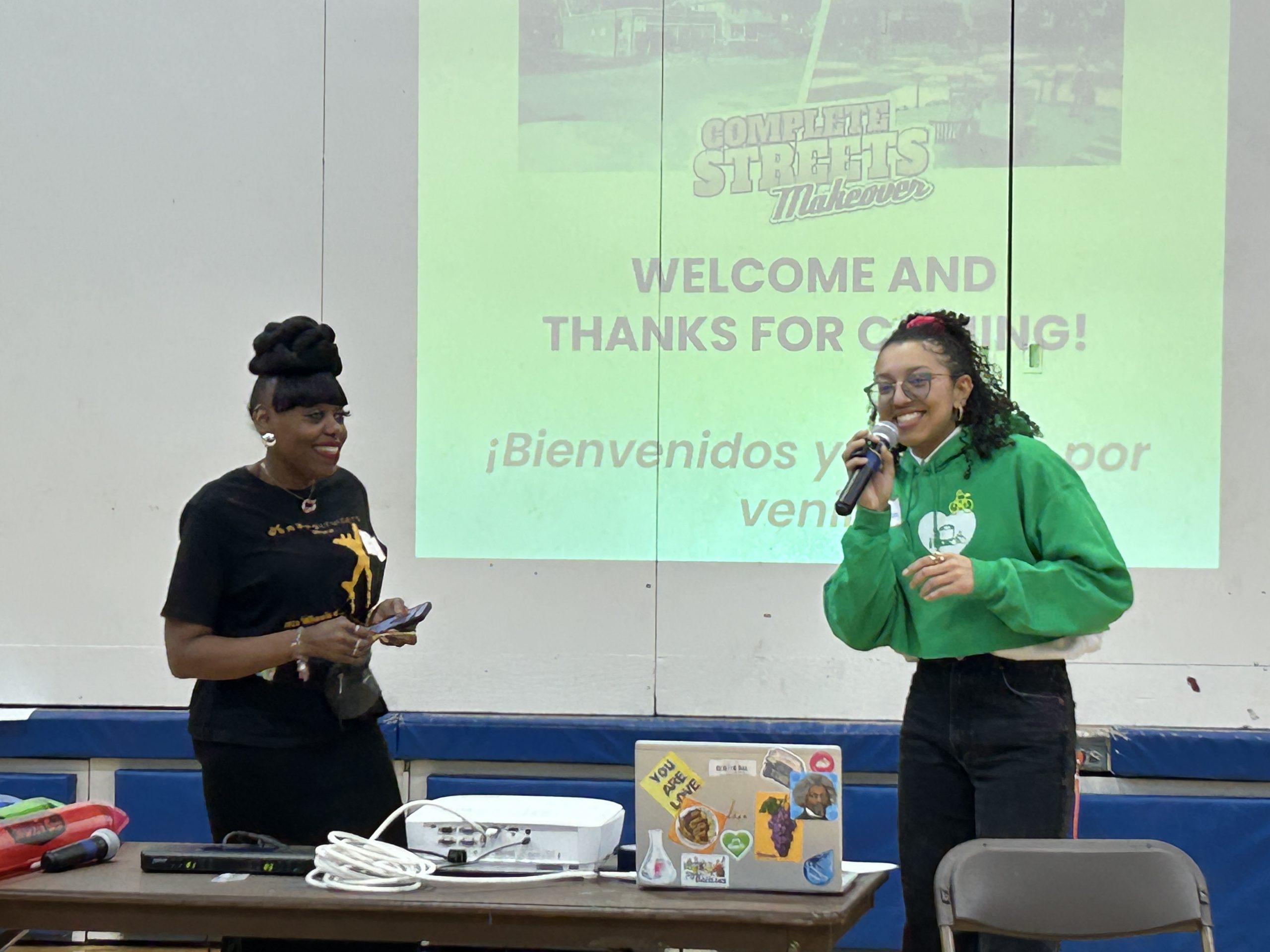
The City of Rochester is hosting a series of public meetings to gather input on the potential use of automated safety cameras to enforce traffic laws as part of the City’s ROC Vision Zero initiative.
Automated traffic enforcement programs have expanded in New York State in recent years thanks to better technology and their demonstrated ability to reduce traffic crashes and hold drivers accountable for reckless driving. Safe streets advocates across New York have called for continued and expanded camera programs because they have been shown to be effective at saving lives.
Rochester and Monroe County school districts have been rolling out bus stop-arm cameras in recent months, using the technology to protect children as the most vulnerable road users. School zone speed cameras were launched in Syracuse and Albany last year and New York City’s school zone speed camera program expanded last year.
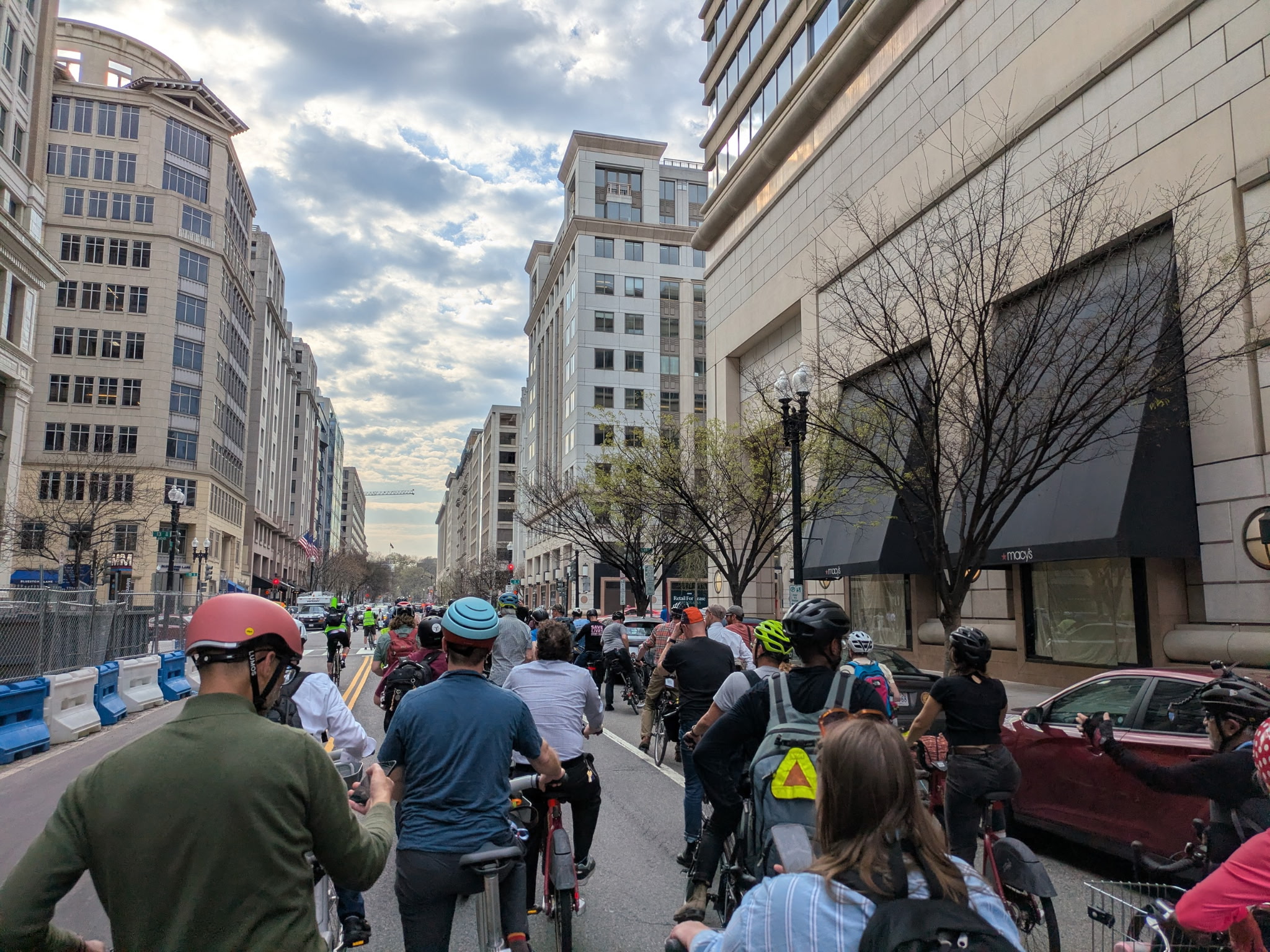
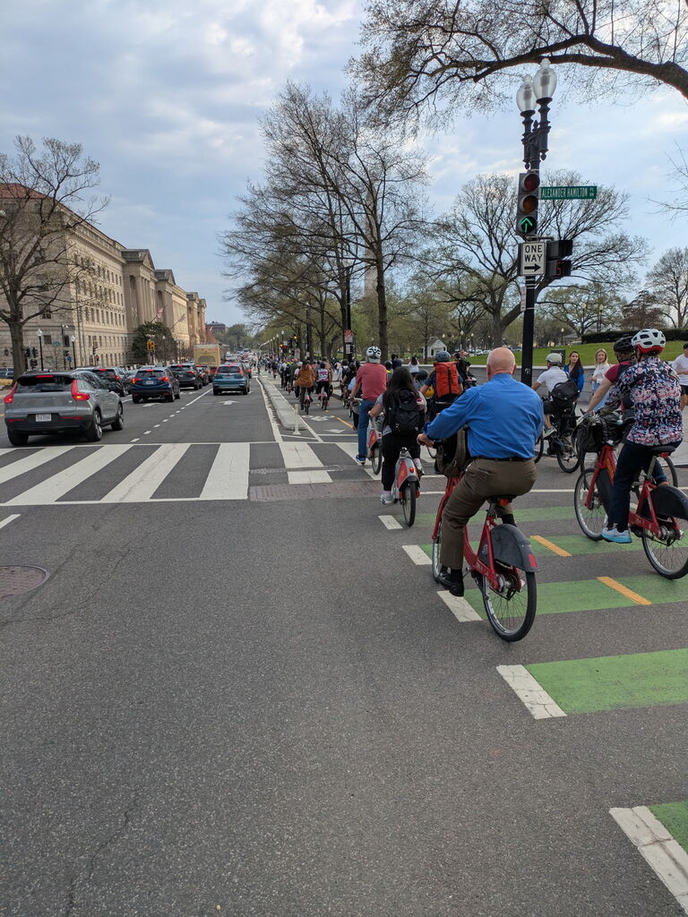
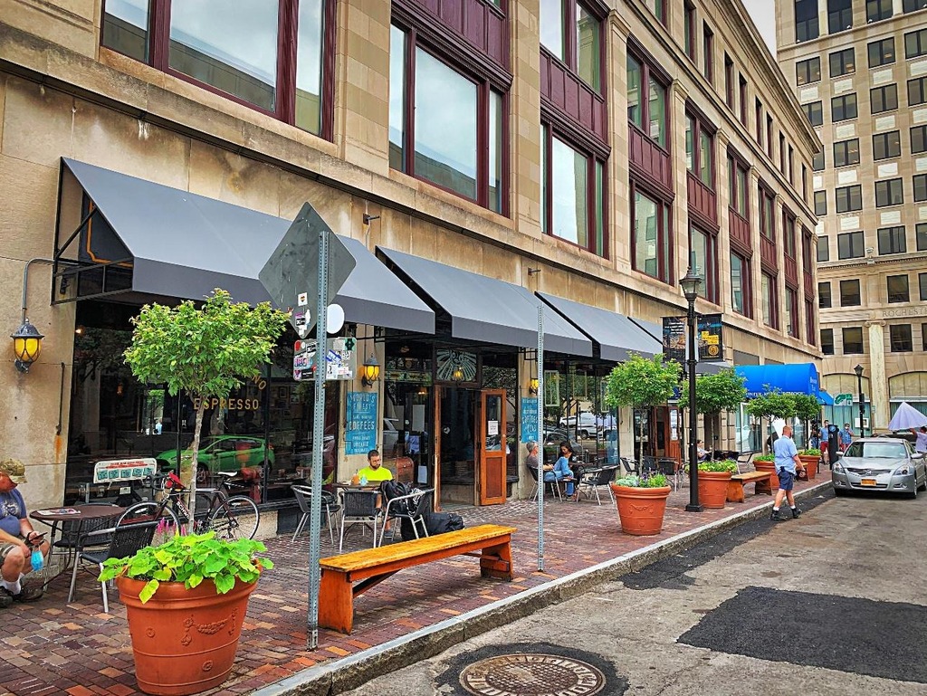
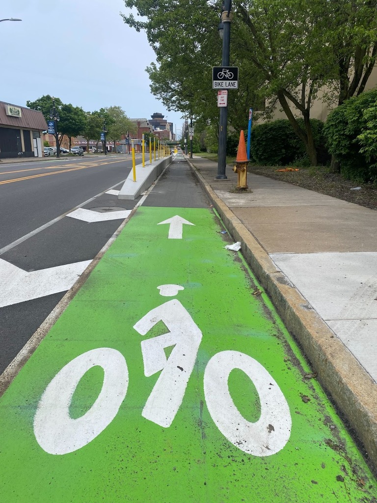
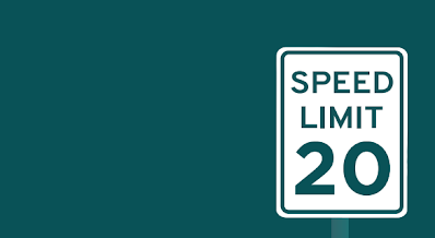
As a member of the ROC Vision Zero task force, Reconnect Rochester has championed taking a holistic approach to traffic safety, one that includes multiple solutions: placing a high priority on infrastructure changes to the built environment, lowering the city speed limit to 25 MPH, and educating drivers on safer driving. Along the way, we have been centering the perspectives of people who walk, bike and take transit, including the 24% of Rochester households who don’t have access to a personal vehicle.
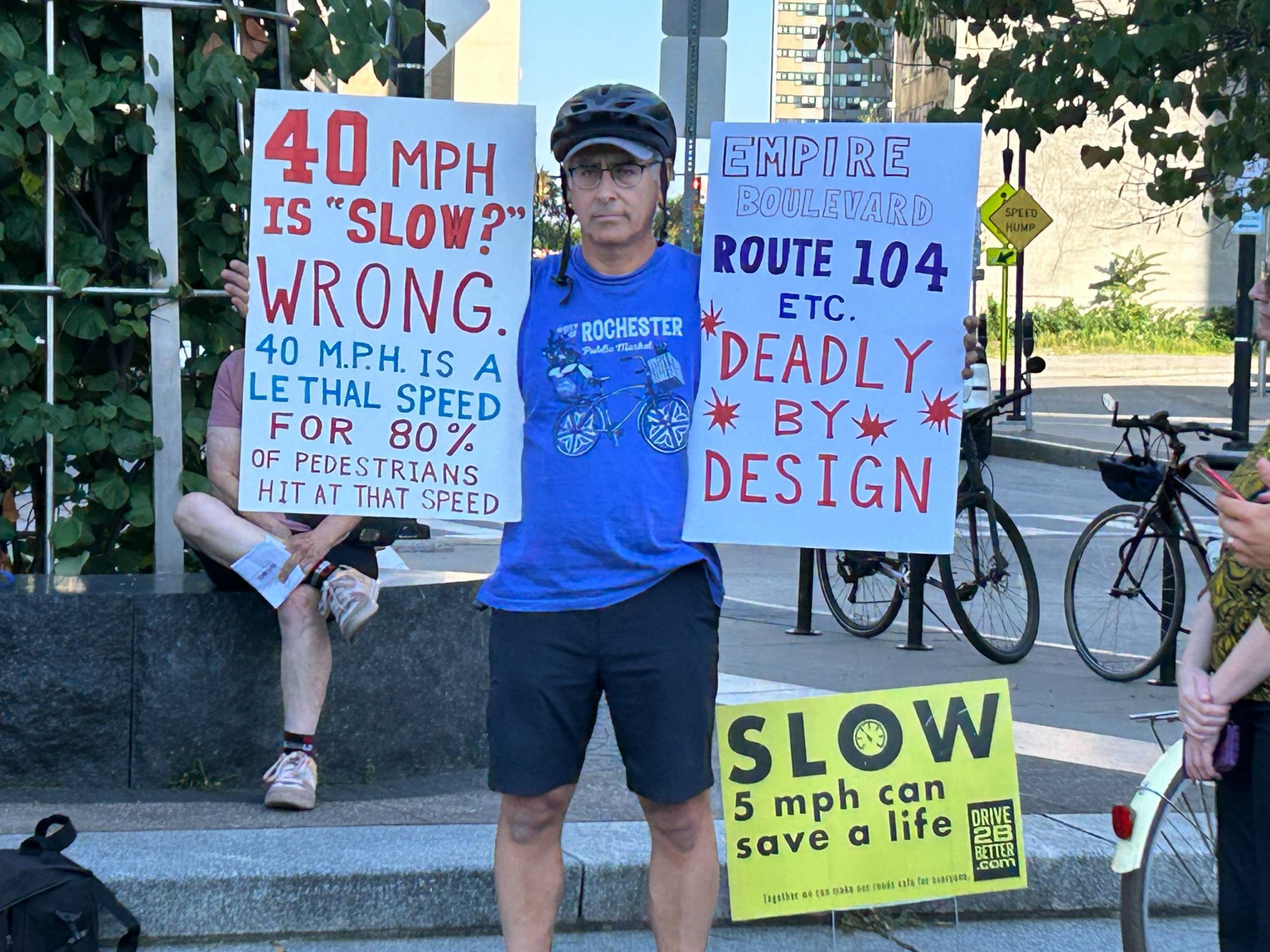
The safe systems approach that underpins Vision Zero recognizes that enforcement has a role to play in curbing traffic fatalities. At Reconnect Rochester, we have centered the word “accountability”, and specifically, accountability for drivers who are operating a large, heavy machine with the ability to seriously injure and kill people. Accountability that would, if done correctly, create a change in driver behaviors so that speeding, red light running, and ignoring pedestrians in crosswalks no longer figure into Rochester’s driving culture.
According to data cited by AARP, speeding is involved in approximately 29% of motor vehicle fatalities, while 28% of deaths at signalized intersections result from running red lights. In 2023, these behaviors accounted for 11,775 speeding-related fatalities and 1,086 red-light running deaths. According to analysis by New York Families for Safe Streets just 1% of vehicles in New York State get more than 6 automated camera violations per year (where the technology is currently deployed) suggesting very, very few drivers are racking up automated tickets and putting their community in danger. This is good news because what we need is behavior change, not punishment.
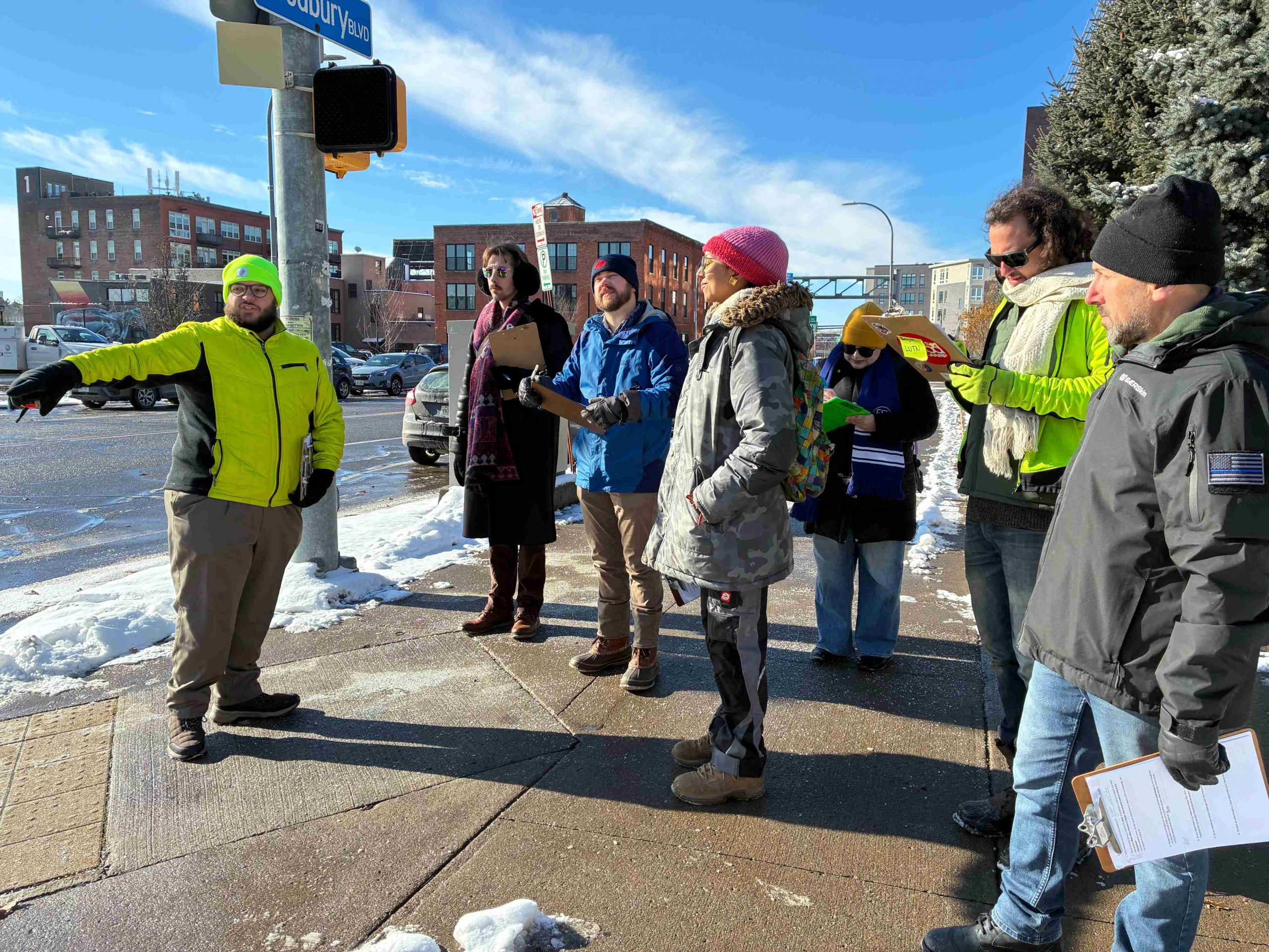
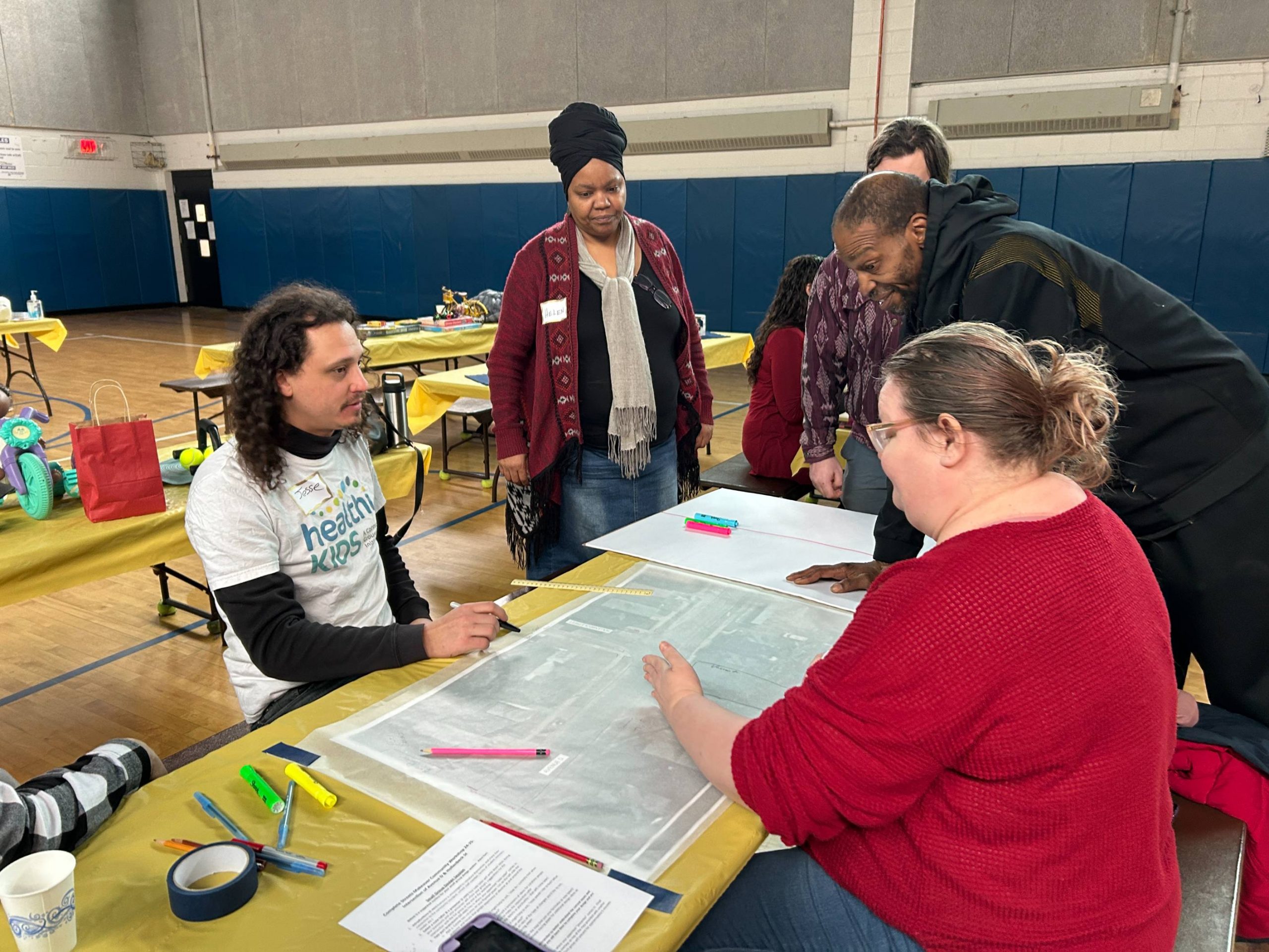
The City is now asking residents to weigh in on what would make an automated safety camera program equitable, fair and effective at curbing unlawful driving. It’s essential that community voice is centered in this process, and we hope you will engage and share what you think would be fair and equitable ways to roll it out.
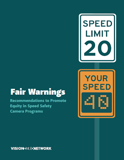
As we’ve worked through Reconnect’s perspective, we have relied heavily on Vision Zero Network’s Fair Warnings: Recommendations to Promote Equity in Speed Safety Camera Programs to learn from other cities about what did not prove effective or equitable in the roll out of camera programs elsewhere. As the report states, “Speed safety camera programs — when well designed, operated and monitored — are effective at deterring people from speeding, thereby reducing crashes overall and lessening the severity of injuries when crashes occur. They are widely used internationally and in more than 240 communities in the United States.” However, in the context of a transportation system and community like Rochester, with longtime structural inequities based on race and economic status, equitable roll out and operation deserves our dedicated attention.
This current community input effort is critical to involve voices from neighborhoods that are most affected by traffic crashes to have a say in how the program is set up. Based on lessons from other cities, we believe Rochester can avoid unfair pitfalls by:
- Finding an equitable pattern of distributing cameras so that enforcement isn’t concentrated in certain areas of the city, but every neighborhood has some degree of enforcement.
- Ensuring that all funds collected by the program go, after program expenses, back to the ROC Vision Zero program to enhance traffic safety in our neighborhoods.
- Giving residents the opportunity to challenge tickets, review the video evidence, and appeal for alternatives to payment, if necessary.
- Providing transparent data sharing on tickets issued, locations, and revenues.
Since Rochester has to follow New York State precedent, some of this is set in statute. For example, tickets start at 11 miles an hour over the posted speed limit, which we hope Rochester sets at 25 MPH citywide by the end of 2026 and the maximum ticket is $50 per violation. No additional fees can be imposed. A 2021 law change meant that camera violations can’t result in points on the license and are a civil penalty against the vehicle owner, so no license suspension is possible. Drivers can still drive to work.
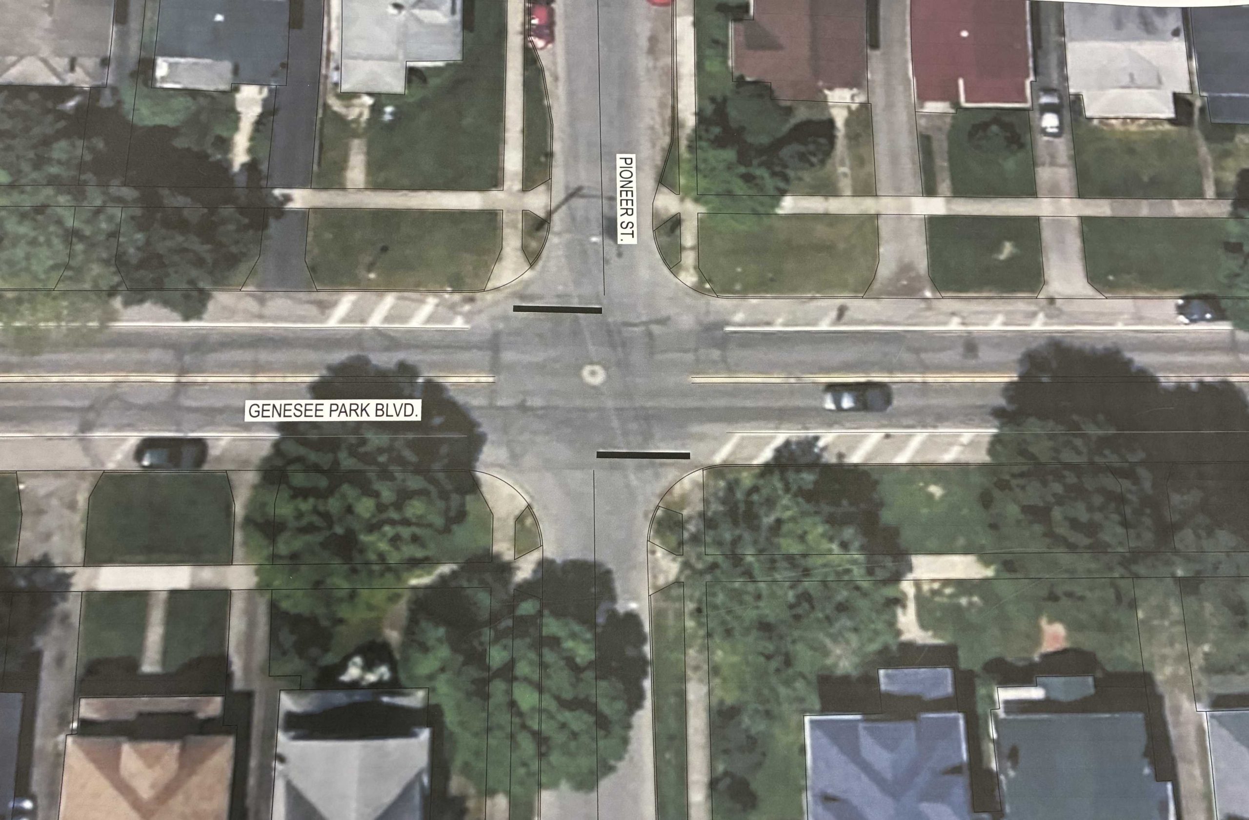
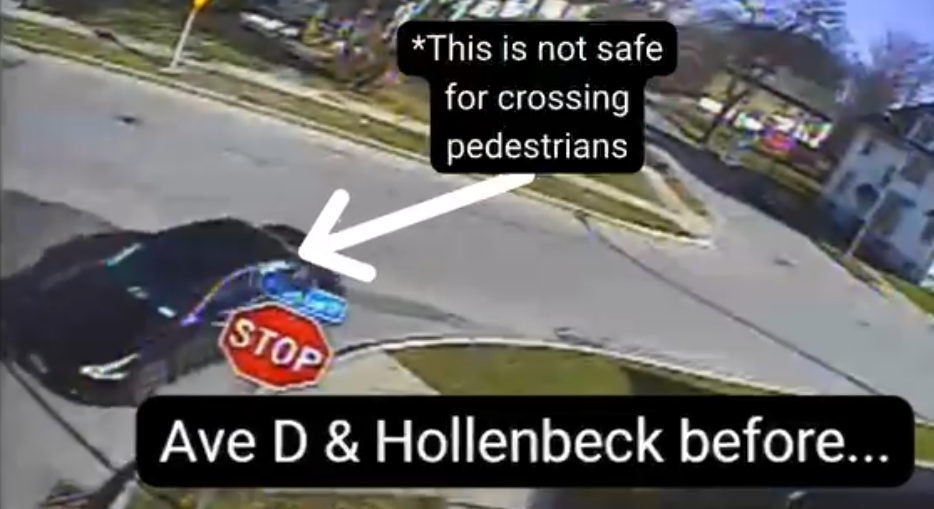
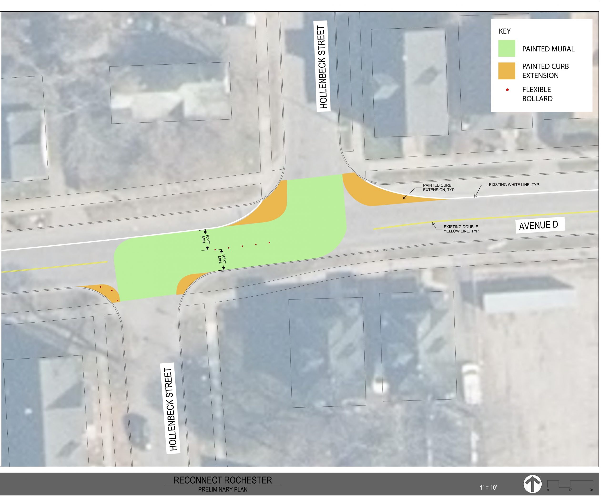
Some advocates have asked: “Why shouldn’t we focus on the highest-injury roadways and not put cameras where there are lower injuries and fatalities?” We followed that logic with the City’s red light camera program a decade ago, and that resulted in placing cameras almost exclusively in neighborhoods with the highest concentration of traffic fatalities, which also corresponds with the neighborhoods with the highest concentrations of poverty and black and brown residents. We believe a citywide approach would be more equitable and ensure a wholesale change in driver behavior.
Next steps:
Join one of the Public Input Sessions and make your voice heard.
Attend a Meeting in Your Neighborhood:
- 6 p.m. Tuesday, April 28 – Willie W. Lightfoot R-Center, 271 Flint St.
- 5:30 p.m. Wednesday, April 29 – Carter Street R-Center, 500 Carter St.
- 6 p.m. Tuesday, May 12 – Edgerton R-Center, 41 Backus St.
- 6 p.m. Wednesday, May 13 – Thomas P. Ryan R-Center, 530 Webster Ave.
- 11 a.m. Saturday, May 16 – Gleason Auditorium, Central Library, 115 South Ave.