By Jesse Peers, Cycling Manager at Reconnect Rochester
A Major Upgrade
Perhaps no place in the Rochester area epitomizes post World War II car-oriented development and suburban sprawl like Pittsford Plaza. Though Monroe Avenue is on a bus line, it’s always been a difficult, time-consuming or intimidating destination to get to without a car.
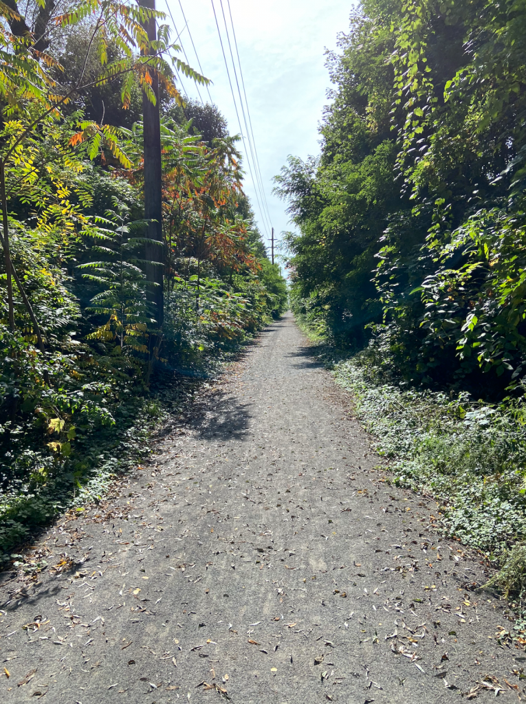
Several years ago I biked on the Auburn Trail to Pittsford Plaza and it was rough! The trail, a former rail corridor, was just too bumpy for most bikes. But with the recent improvements to the Auburn Trail, the plaza, its restaurants, shops, movie theatre, and of course places of employment are now quite accessible by bike! And because the start of the improved portion of the Auburn Trail is right next to one of the City’s Bike Boulevards (this connectivity was intentional), Pittsford Plaza is definitely bikeable from the City now. Once again, here’s Stefan Korfmacher’s stylized version of Rochester’s bike connections, only incorporating trails and bike boulevards.
Our Journey
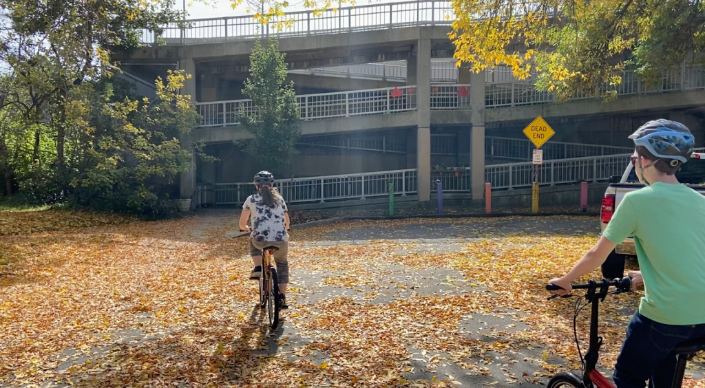
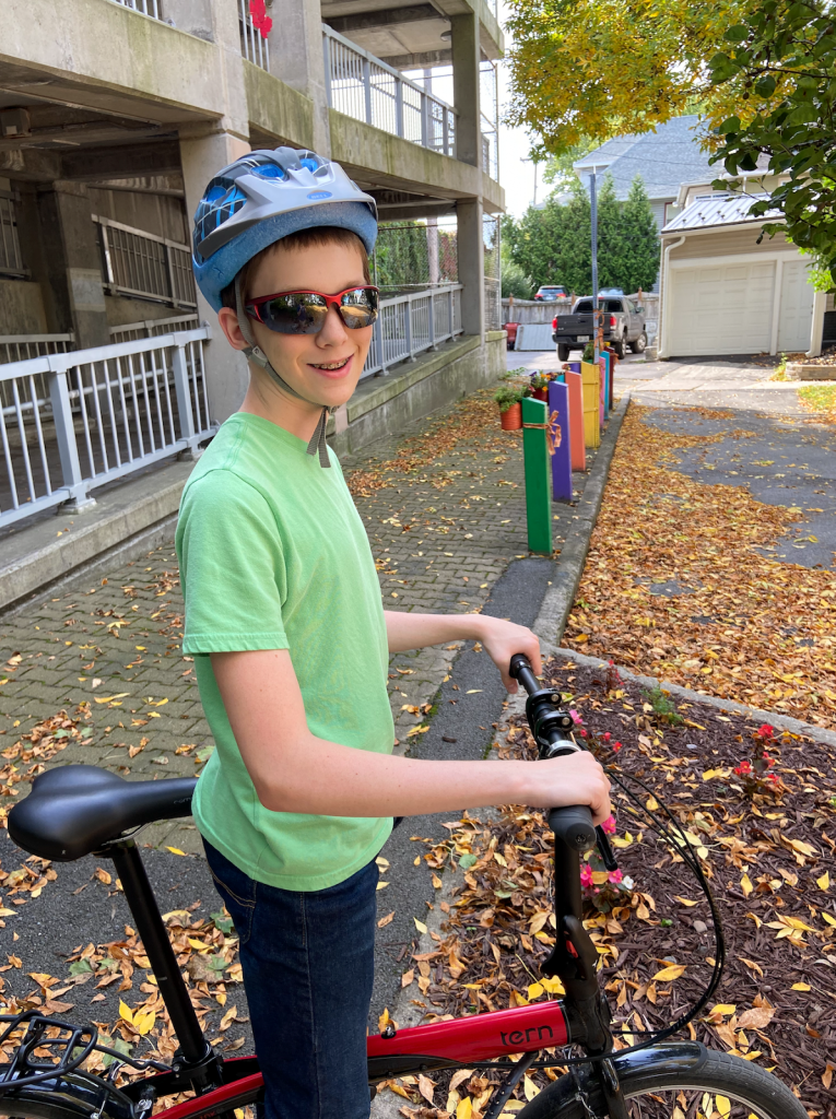
On a warm, sunny weekend in October, I convinced our kids, ages 14 and 11, to ride out to Pittsford Plaza with me. Of course I resorted to bribery; they knew some surprise at journey’s end would make it worth their while. Hint, hint, it rhymes with “Joe’s.”
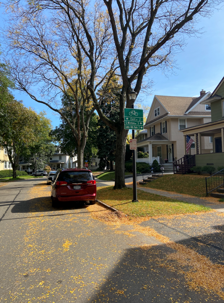
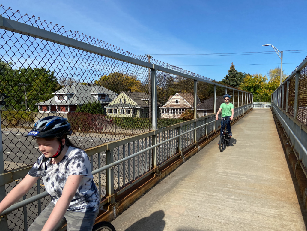
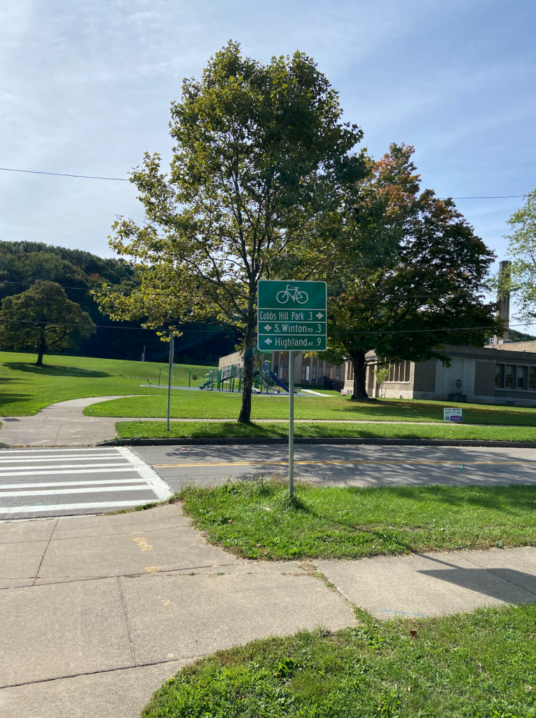
To begin, we biked from our home in North Winton Village to the ABC Streets neighborhood near Park Avenue. The City’s oldest Bike Boulevard is along Harvard Street and connects this neighborhood to Cobbs Hill via the bike/pedestrian bridge over 490. Bicycling along Rochester’s Bike Boulevards is a fun, relaxing experience. The traffic is sparse and slow due to the traffic bumps and the falling leaves on this day made it even better. Plus, regular signage helps cyclists find their way.
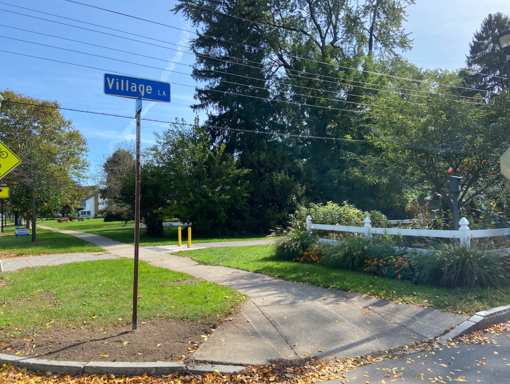
The pedestrian-bike bridge over 490 is so much fun! When you get to the other side, you can turn right to go to Cobbs Hill Park, Lake Riley, the dog park, and ball fields. The Rochester Chess Center is here, too, on Norris Drive. We went left on Hillside Avenue, which is another Bike Boulevard on a slow, comfortable, residential street. The boulevard continues past Winton and curves south, ending at Highland Avenue. This is where some brief on-street traffic negotiating is unavoidable. We had to take a left on Highland and bike just past 590. Even though there’s no bike infrastructure on Highland, the shoulder is plenty wide and comfortable and there wasn’t much traffic. When you’re on the other side of 590, the Auburn Trail begins just after Village Lane. The distance between the end of the comfortable Bike Boulevard and the Auburn Trail? 0.1 mile! Piece of cake.
More About the Trail
The Auburn Trail is a treasure! You bike past beautiful gardens, Council Rock Primary School, The Harley School, and the future site of Whole Foods. (TIP: As with all gravel riding, you’ll have an easier time and more stability by shifting into a lower gear on your bike so you can pedal faster.) The crossings at Elmwood, Allens Creek Road, and Clover were a breeze and motorists came to a stop every time to let us cross. A couple of the crossings feature Rectangular Rapid Flashing Beacons (RRFBs) to make crossing easier.
End of the Line (for us)
We ended our trip at Moe’s Southwest Grill, where we grabbed lunch. Our entire trip from North Winton Village to Moe’s was less than 6 miles, about 35 minutes of fun, comfortable cycling. (If you’re starting from the Colby Street bike/ped bridge in the ABC Streets neighborhood, the trip would be just 3.6 miles, about 20 minutes by bike). The property didn’t have a bike rack so we just locked up to some signage; not ideal but it works.
After some burritos and queso, we biked across the street, through one of the Monroe Ave intersections with a traffic light, to Pittsford Plaza and Barnes and Noble. B&N has bike racks right next to the front door. With a lot of eyes on the street and foot traffic, it’s a very safe place to lock up your bike.
Thanks Rochester, Brighton, and Pittsford for making this bike trip so delightful!
Additional Notes:
- Thank your Brighton and Pittsford leaders for this collaborative effort on the Auburn Trail.
- Pittsford Plaza and its environs could certainly use more bike racks. Now that this popular destination is bikeable, it’s worth getting in touch with Wilmorite and politely requesting that more racks be installed throughout the plaza.
- Though we stopped at Moe’s and Barnes & Noble, the Auburn Trail does continue all the way to 96 and the Pittsford Farms Dairy! The trail ceases to be crushed gravel and becomes a narrow dirt trail. But it’s absolutely bikeable if the ground isn’t soggy. No special bike required. For riders seeking a longer recreational ride, try: the Auburn Trail out to Pittsford > the Erie Canal Trail west to Genesee Valley Park > the Genesee Riverway Trail north up to downtown; it makes a wonderful triangle.
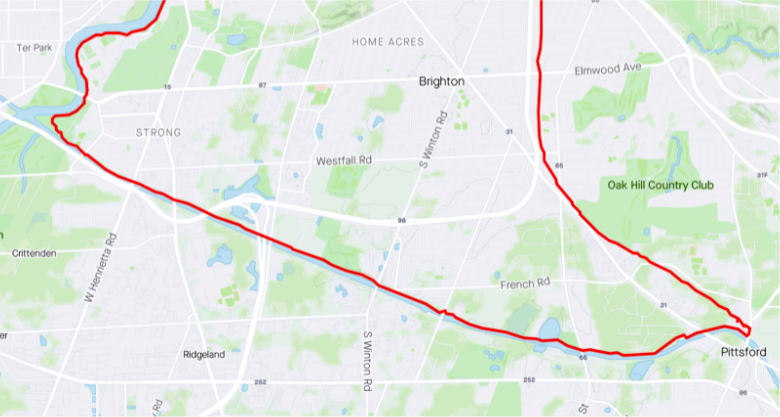


You can also hop on the Pittsford Loop dirt trail from behind Trader Joes, which takes you to the Erie Canal Path just east of Lock 32. The Pittsford Loop trail is roughly parallel to Clover St.
Enjoyed your story very much, but the Auburn Trail continues all the way to Farmington, and some day to Canandaigua and the Ontario Pathways. The section from Pittsford to Victor is a little sketchy in some places currently, but the Town of Pittsford is working on improvements. Once you get to Victor it is clear sailing and very enjoyable. Let us know when you and your kids would like to ride from Rochester to Canandaigua. We’ll meet you halfway (like at Schoen Place).
I’ve been riding the Auburn Branch (the portion of the trail you rode) and the Greenway Trail (other side of Monroe, from the Canal to Clover at Monroe) as part of my commute home since last Autumn, when I finally tried it out after hearing about it for years. I rode it up until this week, when we finally got deep snow. I love that I can ride all the way from work at the URMC to within two miles of home all on a protected trail.
I was wondering how you got from the city to the trail–Hillside is a route I had forgotten. I take Hillside west of Winton to Cobbs Hill Dr to Highland every day on my commute *to* work, but had forgotten that you can ride east of Winton through side streets to Highland, almost at 590. I normally hop off the Auburn Branch at Highland, then head east to Clover, across the railroad tracks, then home to the Browncroft neighborhood. If there is snow, or I’m riding my (heavy) ebike, I take an extra mile to go out to Penfield Rd rather than carry my bike across the tracks. Now that the access path to the railroad tracks is part of someone’s driveway, I may not be able to take that route. I need to see if that is still a right of way or ask the new owner for permission to ride the 20′ on their driveway.
Great article. I have ridden the entire trail from Powder Mill Park to the end at Farmington/332.
Would love to know if there any safe trails from Powder Mill to hook up with rest of Auburn Trail so I can head toward Whole Foods and the city. Is there a trail or do you have to ride from Powder Mills to the canal on the streets. Thank you!