4 Comments

In Praise of the Improved Auburn Trail

By Jesse Peers, Cycling Manager at Reconnect Rochester

A Major Upgrade

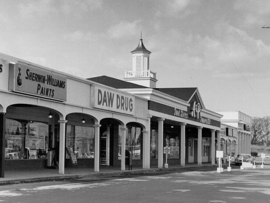
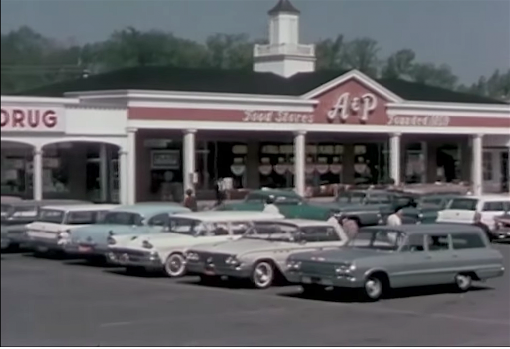
Perhaps no place in the Rochester area epitomizes post World War II car-oriented development and suburban sprawl like Pittsford Plaza. Though Monroe Avenue is on a bus line, it’s always been a difficult, time-consuming or intimidating destination to get to without a car.

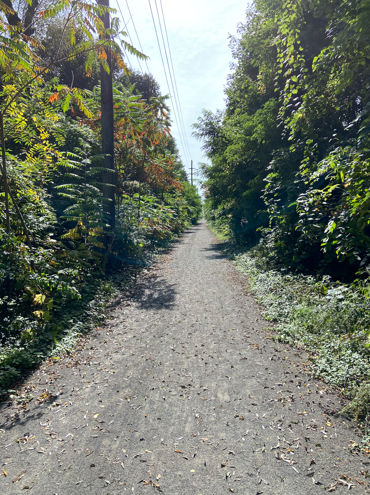
Several years ago I biked on the Auburn Trail to Pittsford Plaza and it was rough! The trail, a former rail corridor, was just too bumpy for most bikes. But with the recent improvements to the Auburn Trail, the plaza, its restaurants, shops, movie theatre, and of course places of employment are now quite accessible by bike! And because the start of the improved portion of the Auburn Trail is right next to one of the City’s Bike Boulevards (this connectivity was intentional), Pittsford Plaza is definitely bikeable from the City now. Once again, here’s Stefan Korfmacher’s stylized version of Rochester’s bike connections, only incorporating trails and bike boulevards.

Our Journey

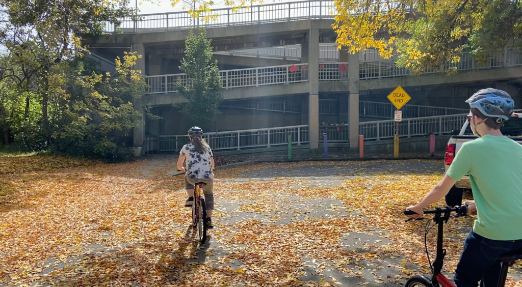
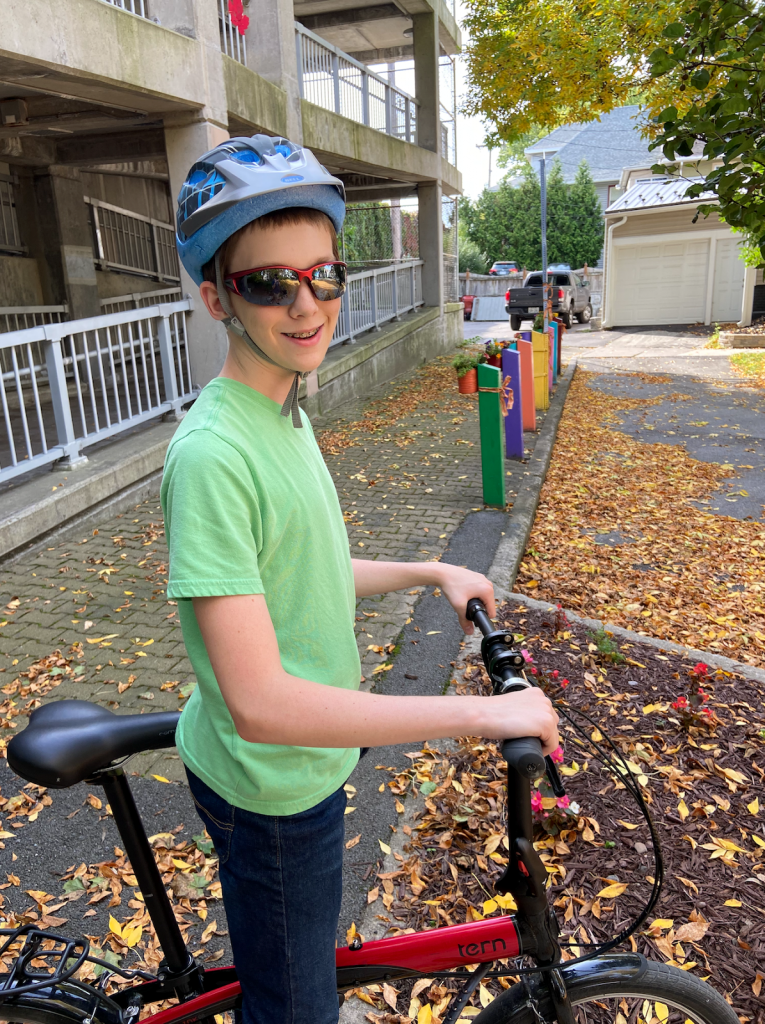
On a warm, sunny weekend in October, I convinced our kids, ages 14 and 11, to ride out to Pittsford Plaza with me. Of course I resorted to bribery; they knew some surprise at journey’s end would make it worth their while. Hint, hint, it rhymes with “Joe’s.”

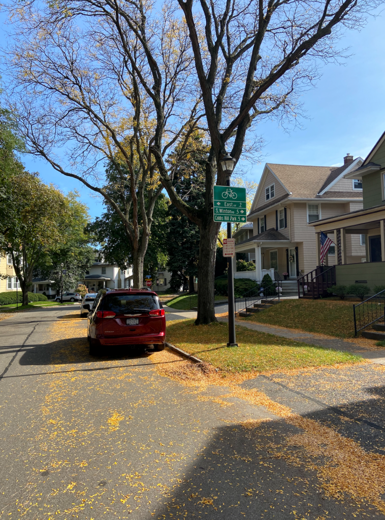
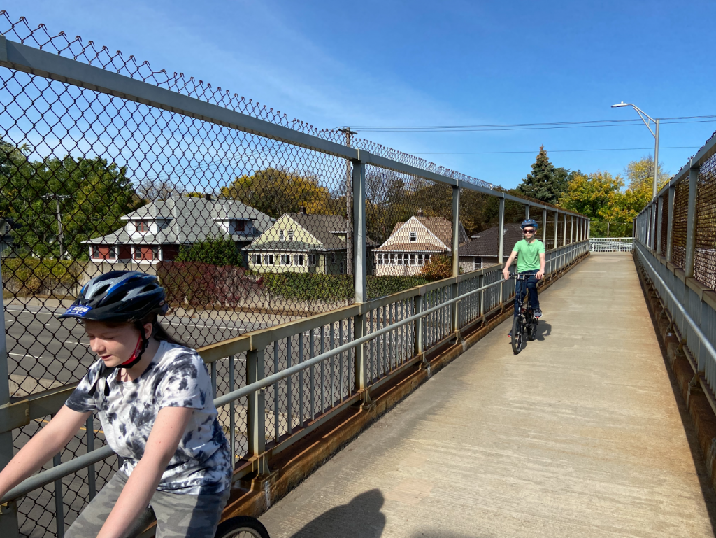
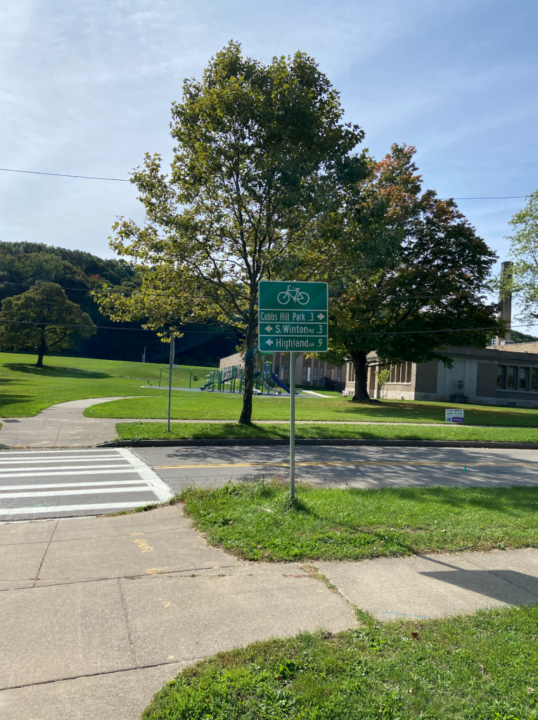
To begin, we biked from our home in North Winton Village to the ABC Streets neighborhood near Park Avenue. The City’s oldest Bike Boulevard is along Harvard Street and connects this neighborhood to Cobbs Hill via the bike/pedestrian bridge over 490. Bicycling along Rochester’s Bike Boulevards is a fun, relaxing experience. The traffic is sparse and slow due to the traffic bumps and the falling leaves on this day made it even better. Plus, regular signage helps cyclists find their way.

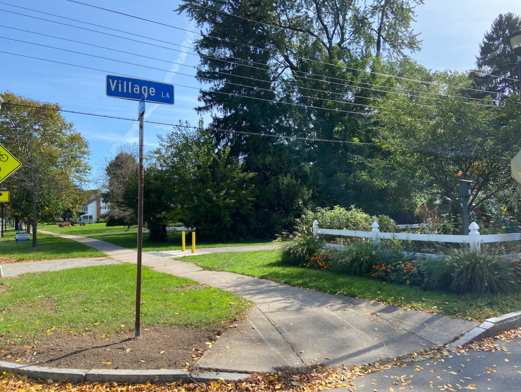
The pedestrian-bike bridge over 490 is so much fun! When you get to the other side, you can turn right to go to Cobbs Hill Park, Lake Riley, the dog park, and ball fields. The Rochester Chess Center is here, too, on Norris Drive. We went left on Hillside Avenue, which is another Bike Boulevard on a slow, comfortable, residential street. The boulevard continues past Winton and curves south, ending at Highland Avenue. This is where some brief on-street traffic negotiating is unavoidable. We had to take a left on Highland and bike just past 590. Even though there’s no bike infrastructure on Highland, the shoulder is plenty wide and comfortable and there wasn’t much traffic. When you’re on the other side of 590, the Auburn Trail begins just after Village Lane. The distance between the end of the comfortable Bike Boulevard and the Auburn Trail? 0.1 mile! Piece of cake.

More About the Trail

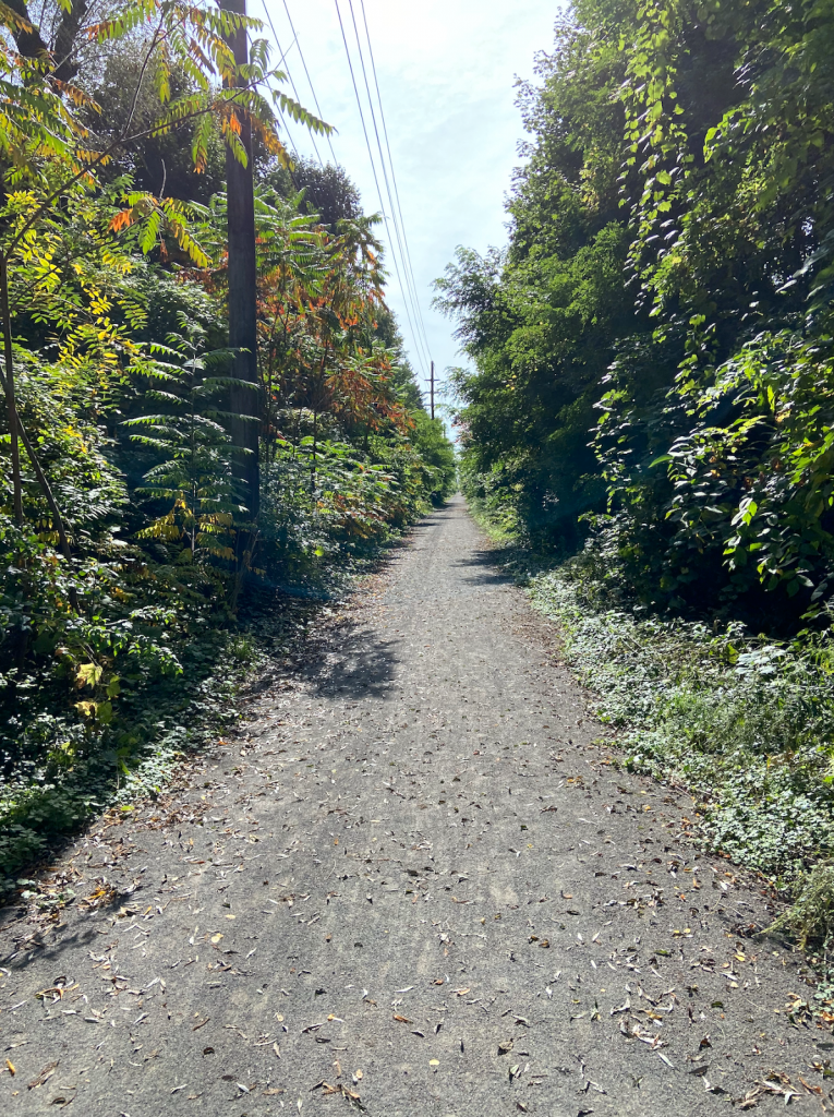
The Auburn Trail is a treasure! You bike past beautiful gardens, Council Rock Primary School, The Harley School, and the future site of Whole Foods. (TIP: As with all gravel riding, you’ll have an easier time and more stability by shifting into a lower gear on your bike so you can pedal faster.) The crossings at Elmwood, Allens Creek Road, and Clover were a breeze and motorists came to a stop every time to let us cross. A couple of the crossings feature Rectangular Rapid Flashing Beacons (RRFBs) to make crossing easier.

End of the Line (for us)

We ended our trip at Moe’s Southwest Grill, where we grabbed lunch. Our entire trip from North Winton Village to Moe’s was less than 6 miles, about 35 minutes of fun, comfortable cycling. (If you’re starting from the Colby Street bike/ped bridge in the ABC Streets neighborhood, the trip would be just 3.6 miles, about 20 minutes by bike). The property didn’t have a bike rack so we just locked up to some signage; not ideal but it works.

Less than ideal bike parking at Moe’s

After some burritos and queso, we biked across the street, through one of the Monroe Ave intersections with a traffic light, to Pittsford Plaza and Barnes and Noble. B&N has bike racks right next to the front door. With a lot of eyes on the street and foot traffic, it’s a very safe place to lock up your bike.

Bike racks at Barnes & Noble

Thanks Rochester, Brighton, and Pittsford for making this bike trip so delightful!

Additional Notes:

  • Thank your Brighton and Pittsford leaders for this collaborative effort on the Auburn Trail.
  • Pittsford Plaza and its environs could certainly use more bike racks. Now that this popular destination is bikeable, it’s worth getting in touch with Wilmorite and politely requesting that more racks be installed throughout the plaza.
One of the few bike racks in Pittsford Plaza, at Trader Joe’s
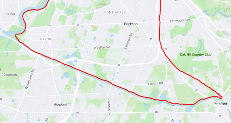
  • Though we stopped at Moe’s and Barnes & Noble, the Auburn Trail does continue all the way to 96 and the Pittsford Farms Dairy! The trail ceases to be crushed gravel and becomes a narrow dirt trail. But it’s absolutely bikeable if the ground isn’t soggy. No special bike required. For riders seeking a longer recreational ride, try: the Auburn Trail out to Pittsford > the Erie Canal Trail west to Genesee Valley Park > the Genesee Riverway Trail north up to downtown; it makes a wonderful triangle.
In 2022, we’ll feature more blogs like this – hoppable trips by bike. We hope it inspires you to leave your car at home for some trips and that you gain an appreciation for our budding bike network and trail system.
4 Comments

20 Minutes by Bike Blog Series: Brighton Map

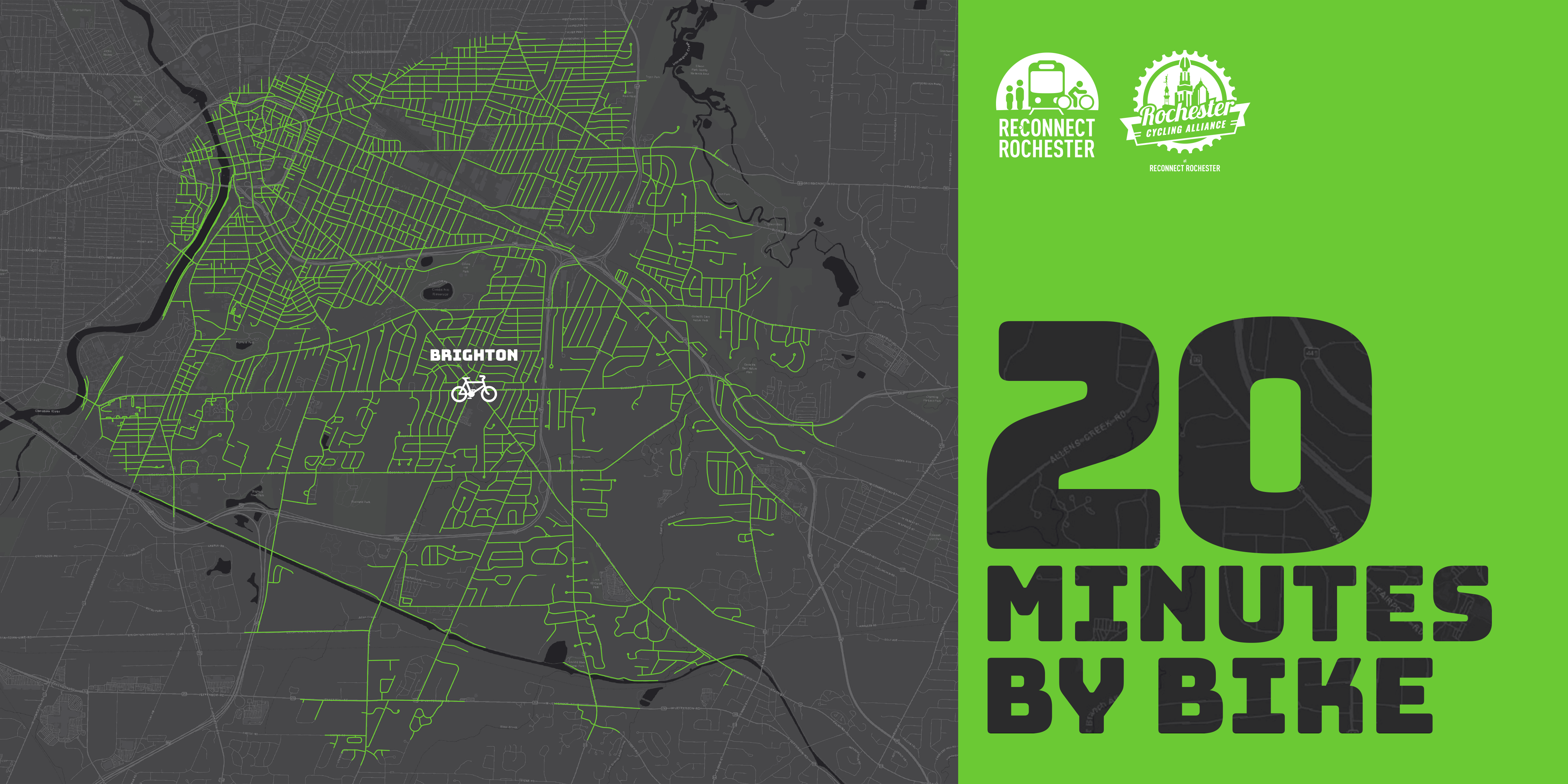
The Rochester area is famous for its 20-minute commute. For driving that is. Reconnect Rochester and the Rochester Cycling Alliance are excited to ask a different question in this blog series: Where can you get within 20 minutes on a bike?


Presenting the fourth in a series of custom “bike shed maps.” For this next installment, we chose Twelve Corners in Brighton and are showing how far out in every direction you can get on a bike at a casual but steady pace of 10 miles per hour. This means that if you live anywhere in this green area, you can get to Twelve Corners within 20ish minutes on a bike. Thanks again to Brendan Ryan and Mike Governale for their help putting these maps together for us.

To get us familiar with this green territory in Brighton, here’s WomanTours’ Jackie Marchand sharing her personal travel-by-bike experiences.

One of the many things I love most about living in Brighton is its bikeability. It seems I can ride my bike to nearly everywhere I need or want to go. You’d think with more than 50 years of living here that I’d be able to find my way around without Google’s help. However, it’s become a game. Do I know my community better than my phone does? Can I find a safer, quieter and prettier way to bike to my destination than Google can? Or will it surprise me and show me a hidden bike trail?

Yesterday, I had a breakfast meeting at Morgan’s Cereal Bar on East Avenue. I used the bike feature on the Google Maps app and it sent me down Monroe Avenue. That wasn’t bad because it has a bike lane. Then I was supposed to turn down Alexander, but I knew there was a beautiful new bike path on Union Street. I went one block further than Google recommended and reveled in cycling the former Inner Loop on my way to East Ave.

I left my house ten minutes earlier than if I’d driven, and managed to complete a 20-minute bike ride before breakfast. The best part of all was that while others had to pay the meter, my parking was free!

When I grocery shopped at Tops last week, my phone sent me straight down Elmwood Avenue for one mile to the store. I always avoid cycling down Elmwood Avenue, as the lanes are too narrow for both a car and a bike. Fortunately, that could change in the future. There are plans to extend the Elmwood Avenue cycletrack from South Avenue to 12 Corners, which will be fantastic but is still years away.

For now, I have to find my own safer way. I know there’s a small trail behind Temple B’rith Kodesh to quiet Ashley Drive. At the end of Ashley, another trail connects to Brandywine and then another short trail connects to Lac De Ville into the Tops parking lot. I arrived at Tops in 15 minutes by cycling only one block on Elmwood Avenue. Google – 0, Jackie – 2. 

Last weekend, I wanted bagels from Bagel Land at 12 Corners, the cornerstone of Brighton. In addition to the fastest route straight down Elmwood Avenue, Google offered me the longer but better route through side streets to the back of the plaza. There was even a bike rack waiting for me. It took one minute longer but was well worth it. Thanks Google.

It’s actually pretty easy to navigate around 12 Corners using the small side streets to avoid the tight busy intersections. If traffic is low though, I’ll choose to cycle through it rather than around it. All the stoplights keep vehicles moving slowly.

Now that the Auburn Trail is improved, my favorite after-office ride is to the Pittsford Wegmans on my way home. Google actually found this route for me. My office is just over the Brighton/Henrietta line and an easy half-mile to the Canal Trail. After a mile on the trail, I linked to the unpaved Railroad Loop Trail that took me behind Pittsford Plaza all the way to Wegmans. Google even told me how long it would take – just 18 minutes. Google – 2, Jackie – 2.

After shopping, I crossed Monroe Avenue to hop on the Auburn Trail. Google didn’t know about this trail yet – it’s that new. I exited the trail at Elmwood Avenue and then meandered some calm streets through quiet neighborhoods to my house. It felt safe and relaxing. When was the last time you called a trip to Wegmans relaxing?! 

In search of some comfortable biking clothes last week, I googled the bike route to Sierra Trading Post from my office. Most of the 16-minute trip to the store was on roads, but there were shoulders and the traffic was light, so I felt safe. Google even knew to take me around the back of the stores where the loading docks were to avoid the busy parking lot. Surprise – there was a bike rack waiting for me in front of the store! Google – 3, Jackie – 3. 

Examining the ride home after shopping, I learned that my phone wanted me to take the Canal Trail to the Brighton Town Park, but from there Google failed me. It was sending me on Westfall to South Clinton to Elmwood Avenue for a total of two miles on busy thoroughfares. 

When I zoomed in, I saw that there was a small path connecting Westfall to Schilling Lane in a small residential neighborhood. It allowed me to cut out the hilly intersection at Westfall and S. Clinton and cycle nearly the entire two miles on a mix of quiet roads and paths. Admittedly, I probably wouldn’t have found the trail without Google, so I gave us each a point. Google – 4, Jackie – 4.

Finally, I already knew that the two newest trails in Brighton are not recognized by Google as bicycling routes. The one-mile long Brickyard Trail recently celebrated its fifth anniversary and connects Westfall and Elmwood Avenues. It’s a stroll through wetlands where I’ve regularly spotted foxes, turtles, owls and turkeys. The Highland Crossing Trail is less than two years old and also connects Westfall and Elmwood Avenues, but then continues north through Highland Park, ending at the Genesee Riverway Trail. Its highlight is an elevated boardwalk through a forest.

Jackie on the Highland Crossing Trail

The two trails are my favorite place to go when I don’t have anywhere I need to be. I tried the loop the other day, incorporating a couple calm bike boulevards that Google suggested. So I gave Google two points for the bike boulevards, and myself a point for each trail. Google – 5, Me – 5. I’m going to have to keep cycling so I can get ahead!