by No Comments

Reflecting on the 2025 Week Without Driving

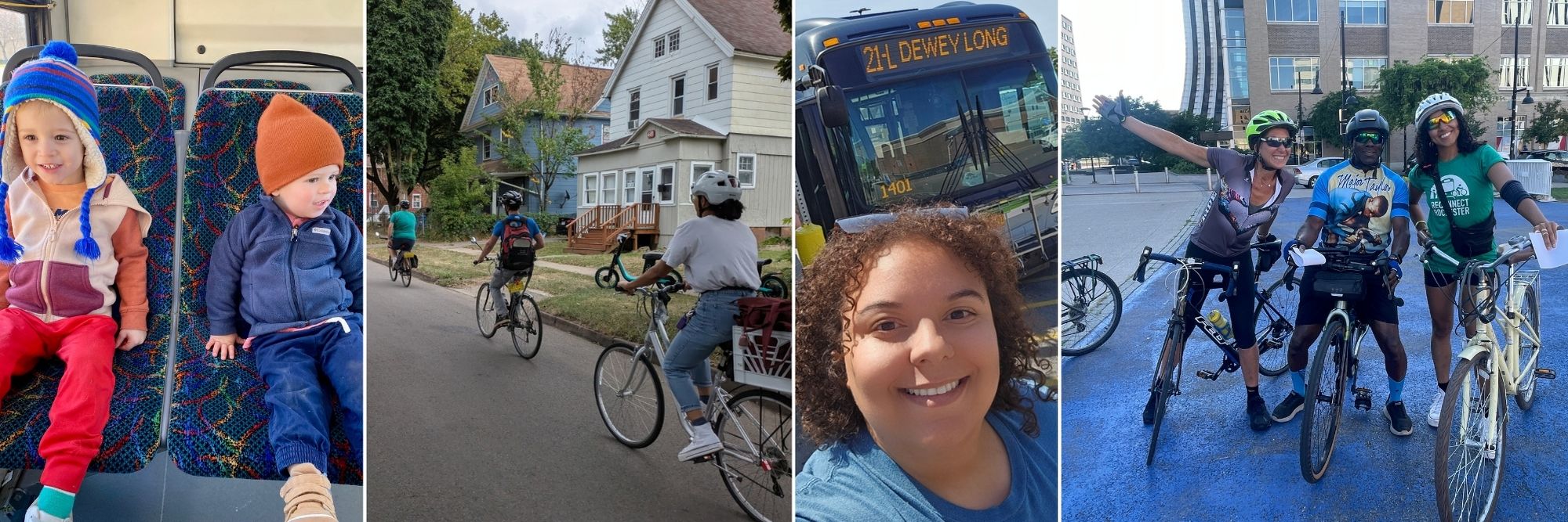
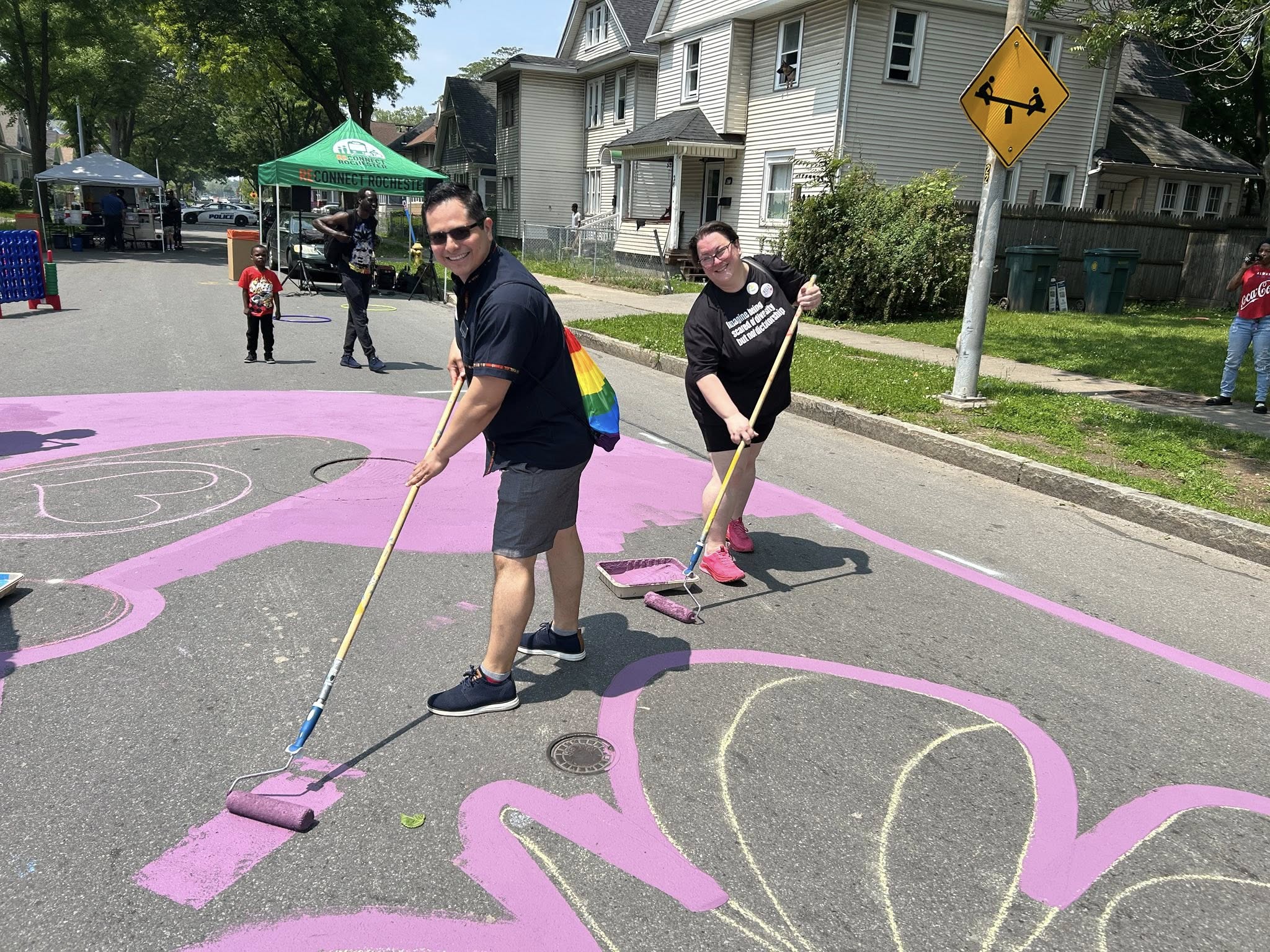
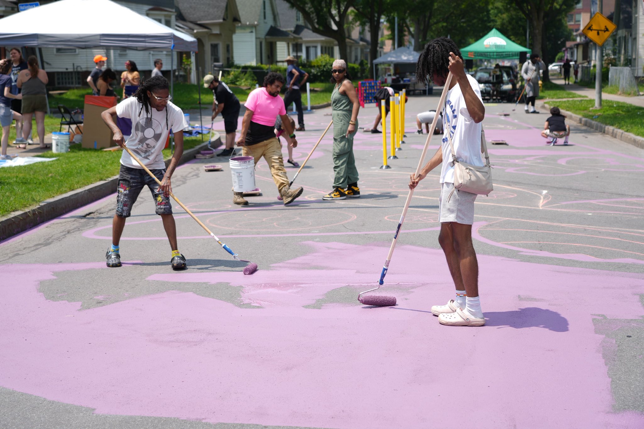
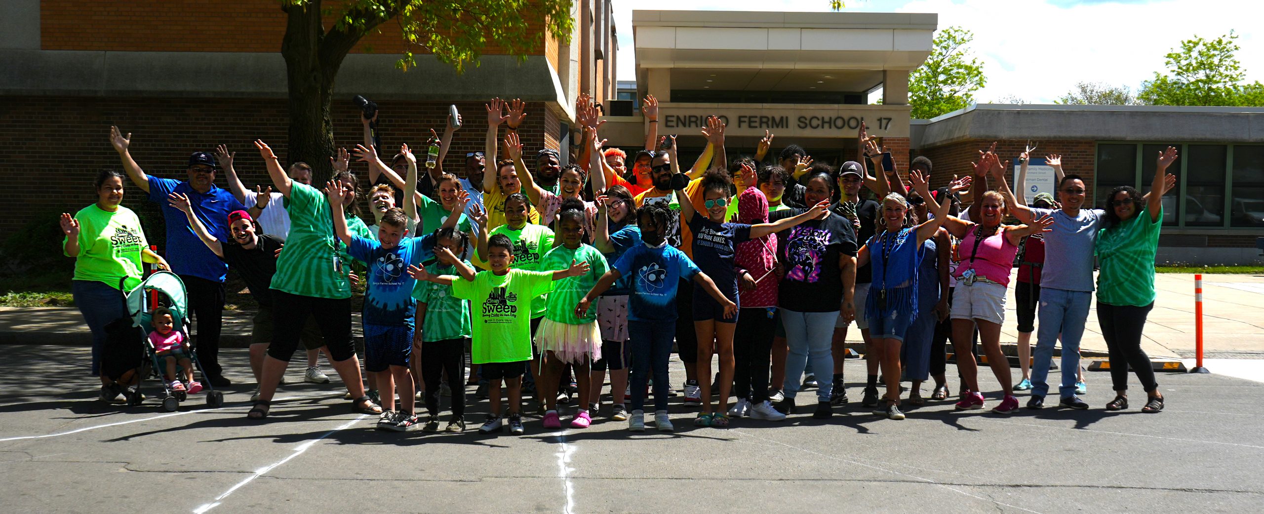
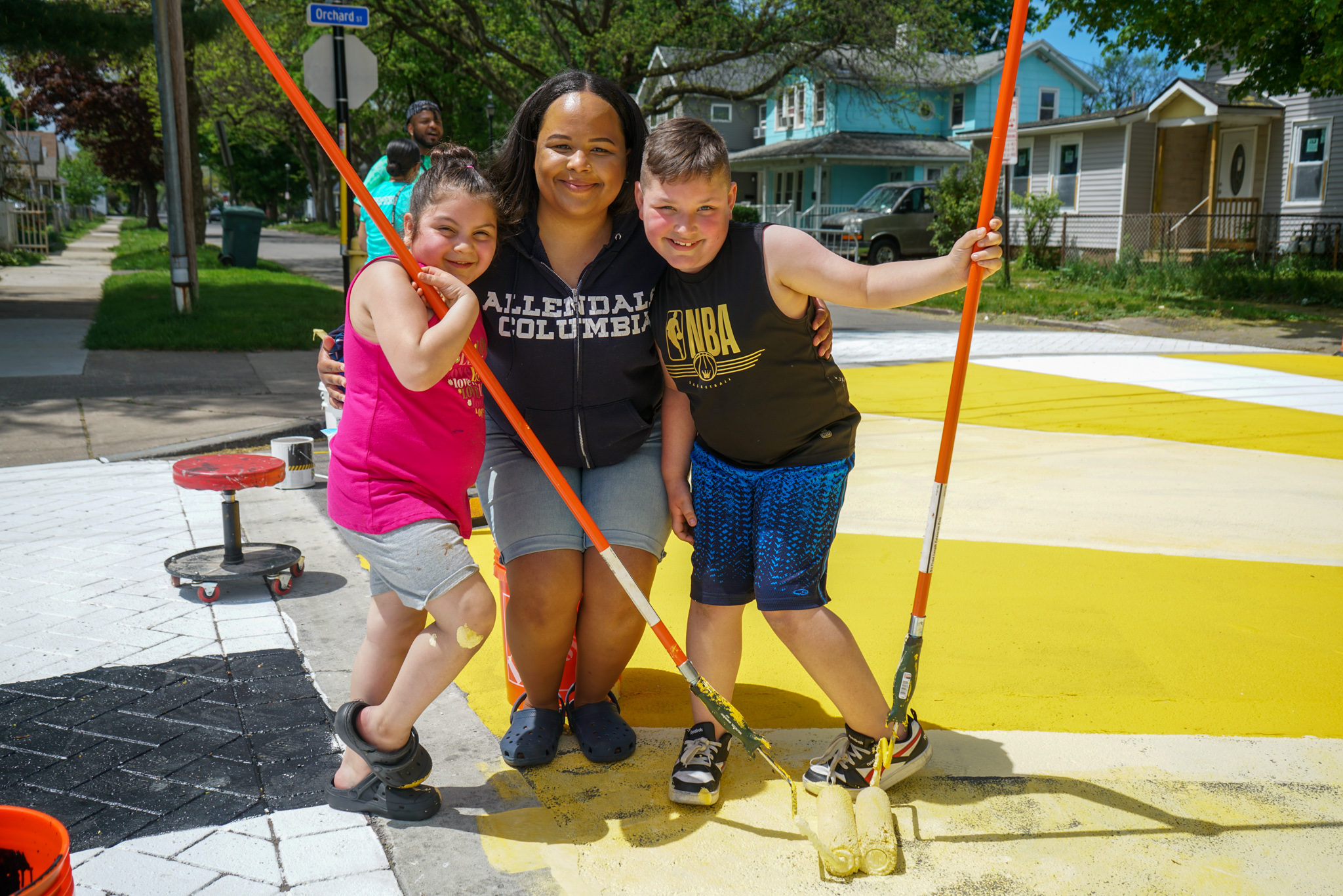
We would like to thank everyone who participated in the 2025 Week Without Driving! Disability Rights Washington first launched this campaign in 2021 as a way to highlight the barriers faced by those without access to a car. By 2023, the challenge had expanded nationwide, encouraging individuals across the country to rethink their reliance on automobiles.

While we think highlighting barriers is important, we also wanted to inspire Monroe County residents to explore their mobility options beyond the car to see how “one less car trip” can be easier than most people imagine at first. As Simeon Banister mentioned in his reel on our Magic Bus day, the best way to improve our public transit is for people to “use public transit!”


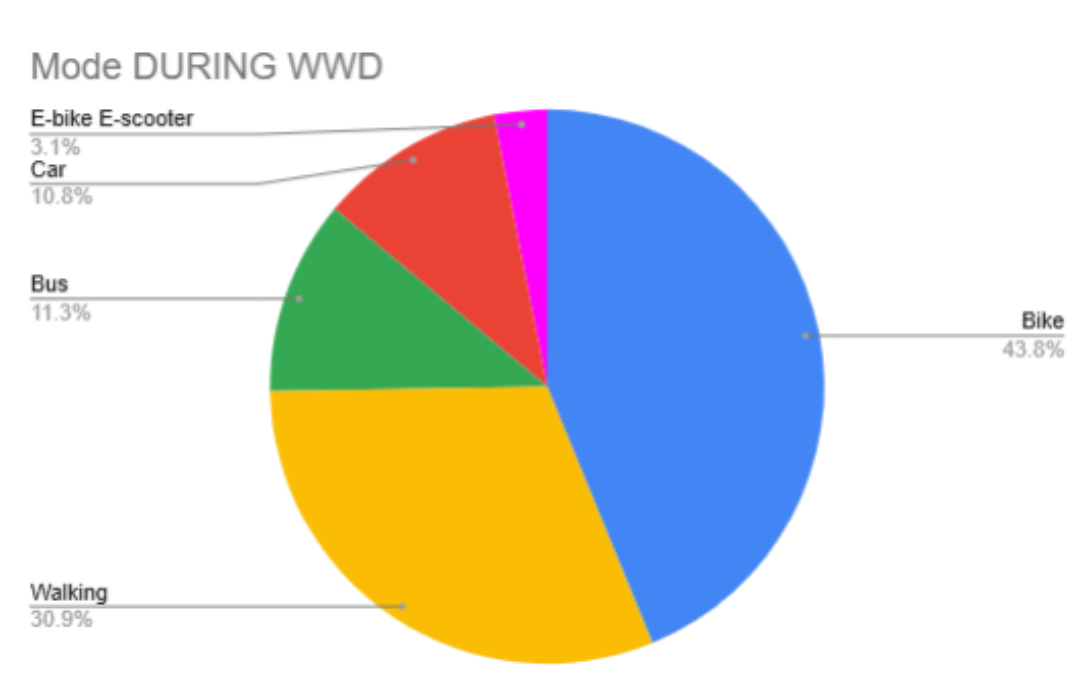
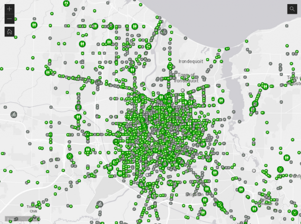
We are thrilled to share that 44 participants logged a stunning 616 non-car trips for a total of 1,970. 41 non-driving miles!


Thank you to EJ Bradford for your photo submissions and detailed reflection of the week! We have included your response along with many of the comments we received from our participants below.
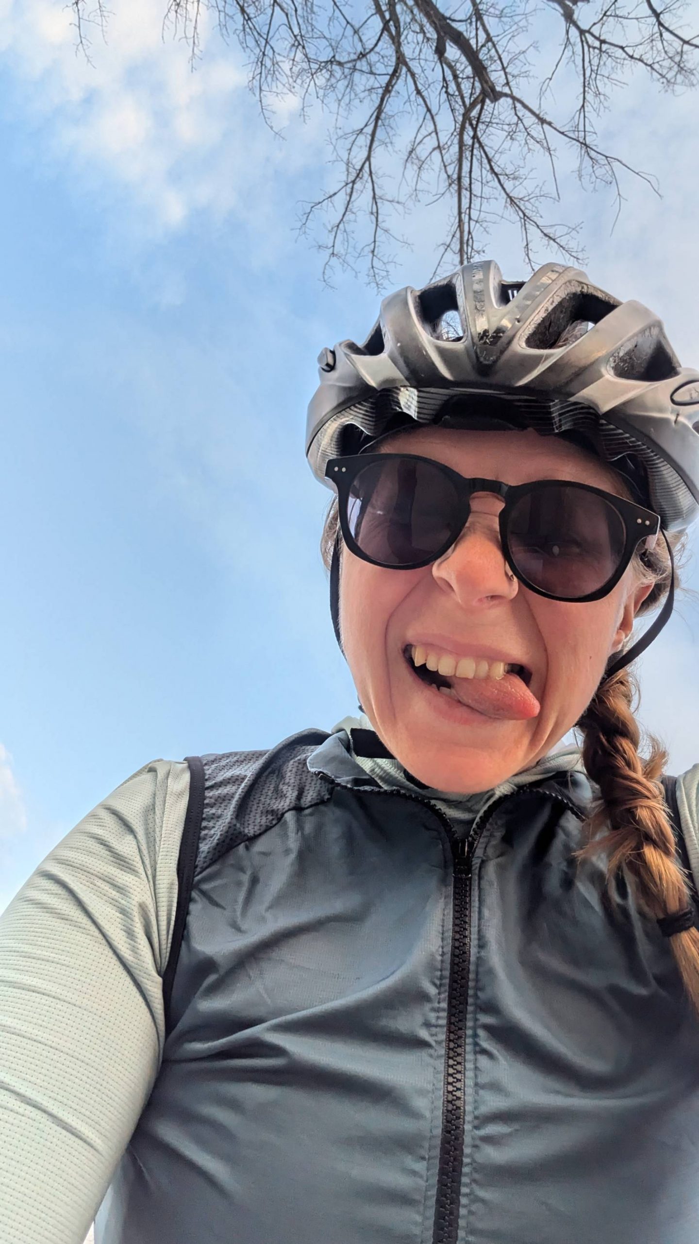
Biking Comments

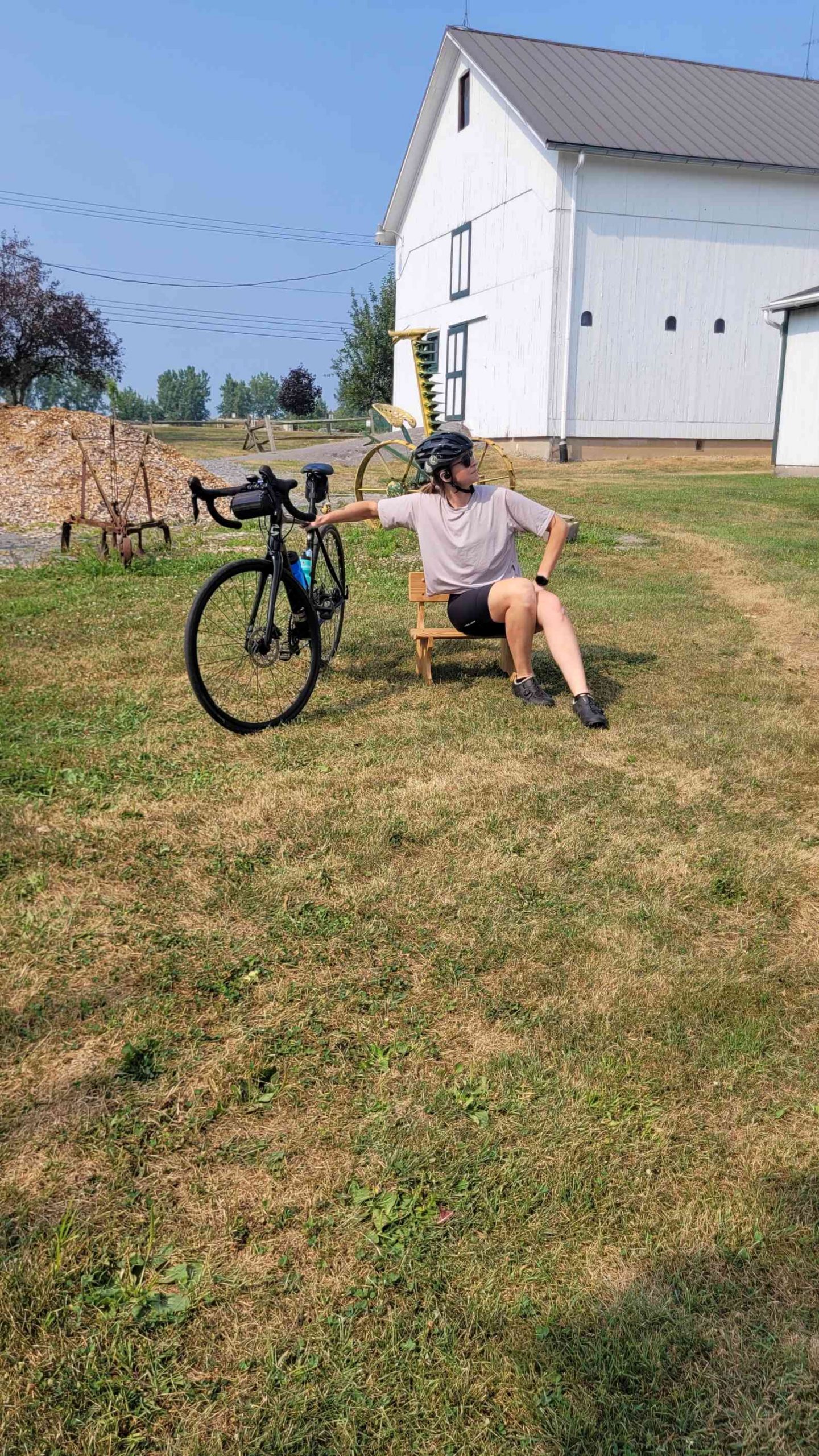
I biked to the grocery store to get a few things for dinner and wondered why more people didn’t do the same…With the right planning, it’s actually easy, fun, AND it helps you to avoid buying unnecessary impulse purchases because you will only buy what you can carry back on your ride home!

Biked to RIT, the scariest part was being on the road on Monroe Ave in the city. Drivers aren’t cognizant or expecting cyclists on that road and many drive recklessly.

BIG shoutout to panniers. And dressing in layers. And then shedding layers and putting them in your panniers!

Home Depot on Portland Ave. was very tricky, but I managed it!

Traveling with a bike trailer is no joke! Luckily I spent the majority of my trailer laden route on the Genesee river trail. I don’t often have a need to take that trail so it’s nice not to have to feel like your competing with cars especially when carrying cargo.

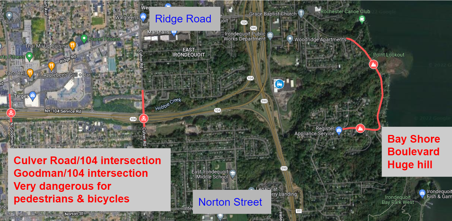
I’ve decided that 104 is the devil for bikes.  The closer you get, the less bike friendly.

Took the Auburn Trail from cobbs hill to Pittsford Plaza. Not my first time on the trail, but first time using it as a way to get to those stores. Always surprises me how close they are.

Walking Comments

Lee Road should at least have a sidewalk north of Lexington to the City line with Greece where the shoulder starts. You can see a dirt path worn in and can see it on Google maps from this year. Lots of shift workers walking to and from work here.

Mixed use buildings are the way to go! Two of the five places I went were such in the same building as another one of my destinations so I didn’t even count miles for the few feet I walked.

I will carry a bookbag next. I carried shoulder bags, and it wore me out.

I love walking to my yoga class as it helps me transition from my work day to a more meditative and expansive mindset. Plus I often run into people I know, which gives me joy!

I had a lot of meetings in the downtown area today. I was surprised how quickly I was able to get there. The tricky part is all the construction going on in the downtown area but still in all a very pleasant walk time today.
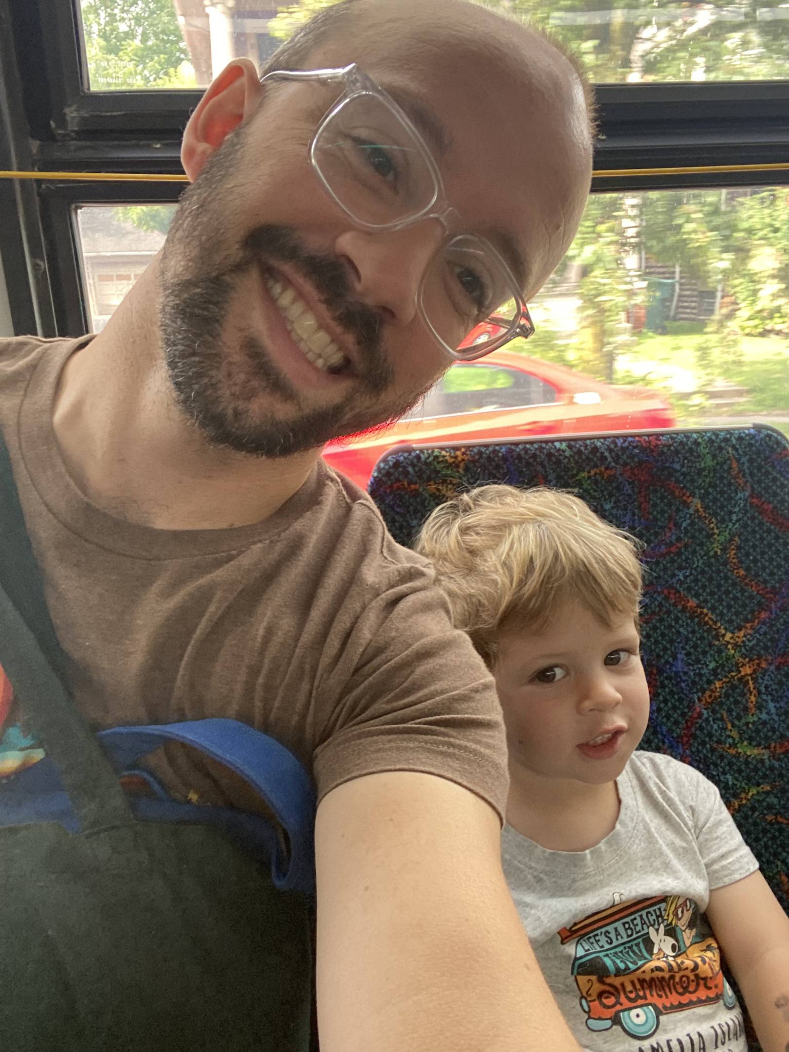
Bus Comments

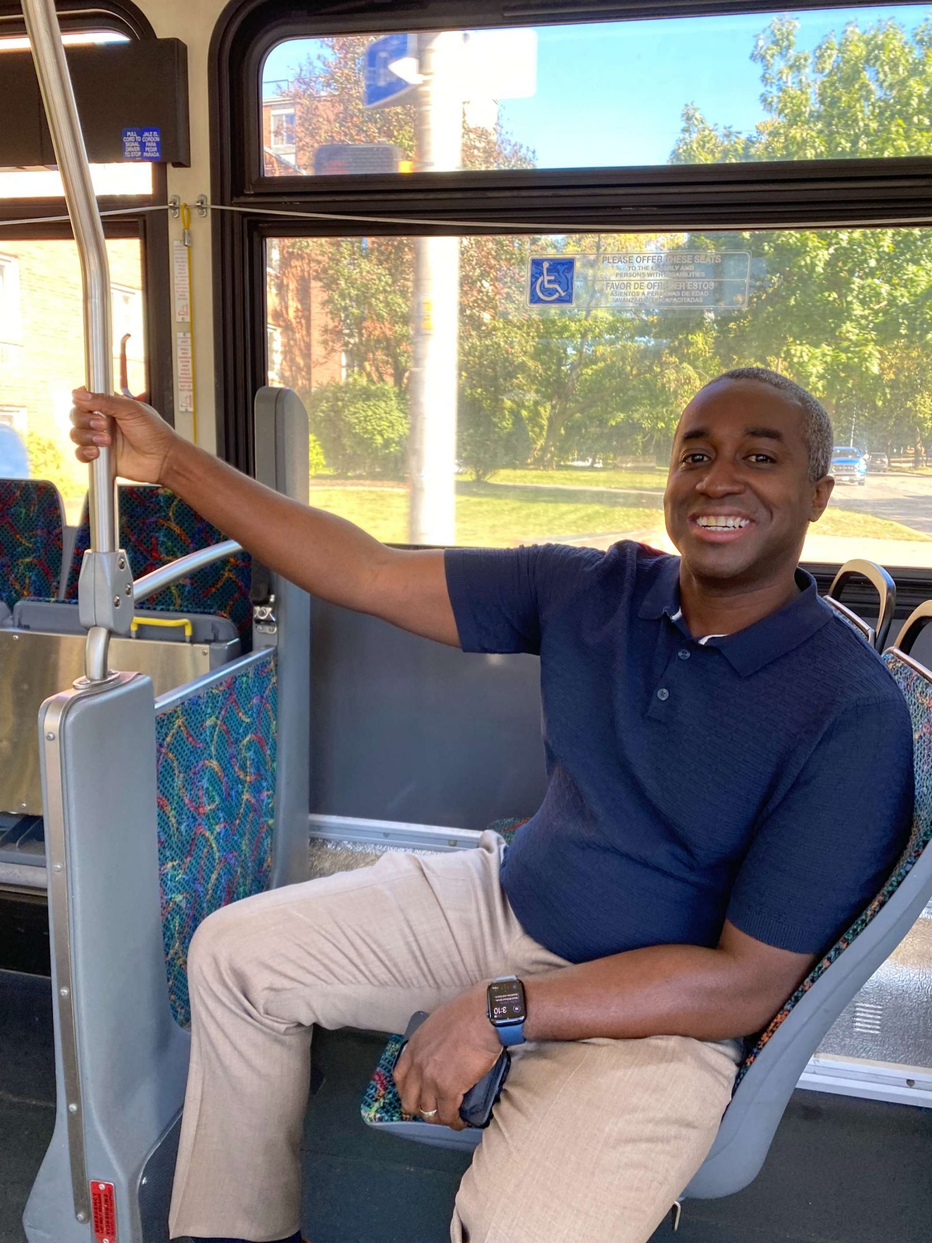
I was so excited to see how easy it was to get a bus to get my errands downtown done! I plan on using the same route to get to The Little this weekend! 

Well, went to MCC as usual (6, then the 13 buses). After that, took the 17 the entire route to the library for the transportation hearing (it was pretty decent, though I was the only one along with another participant), then I took a short walk to the center to then take the 6 back home.

Bus service to RIT is hot garbage, but taking the RTS 14 most of the way and biking the rest is surprisingly easy!

I head to MCC in the morning, walking to a nearby bus stop along N. Goodman. I take the 6, then the 13 (this route gets PACKED, I’m shocked it doesn’t run every 15 minutes). After my classes today, since I am NOT waiting almost an hour for the 6 (my class ends before 7 pm), I took the 41, up until the Culver Waring intersection, where I then walked a decent amount home.

Unfortunately the bus routes for me to get to most destinations I frequent are incredibly long and inconvenient because there are no direct routes. You have to go all the way to the transit center first before you can go out to a different destination. Routes need to be added that circle around the city instead of just spokes going out from the center.

I was disappointed that I couldn’t manage to get to and from work without my car. I made a few short trips by walking, and I wanted to try taking the bus to work, but my 10 minute commute would take over an hour on the bus! I realized that if I didn’t have a car, I wouldn’t be able to work at my current job. 

 I was frustrated because I had a convention center trip, which is easy by bus, but because my wife had to go to a construction site, I had both kids in the AM and I was short on time so even though its just one bus, I could not make it happen. I think I just need to spend more time planning and change the pace of life.
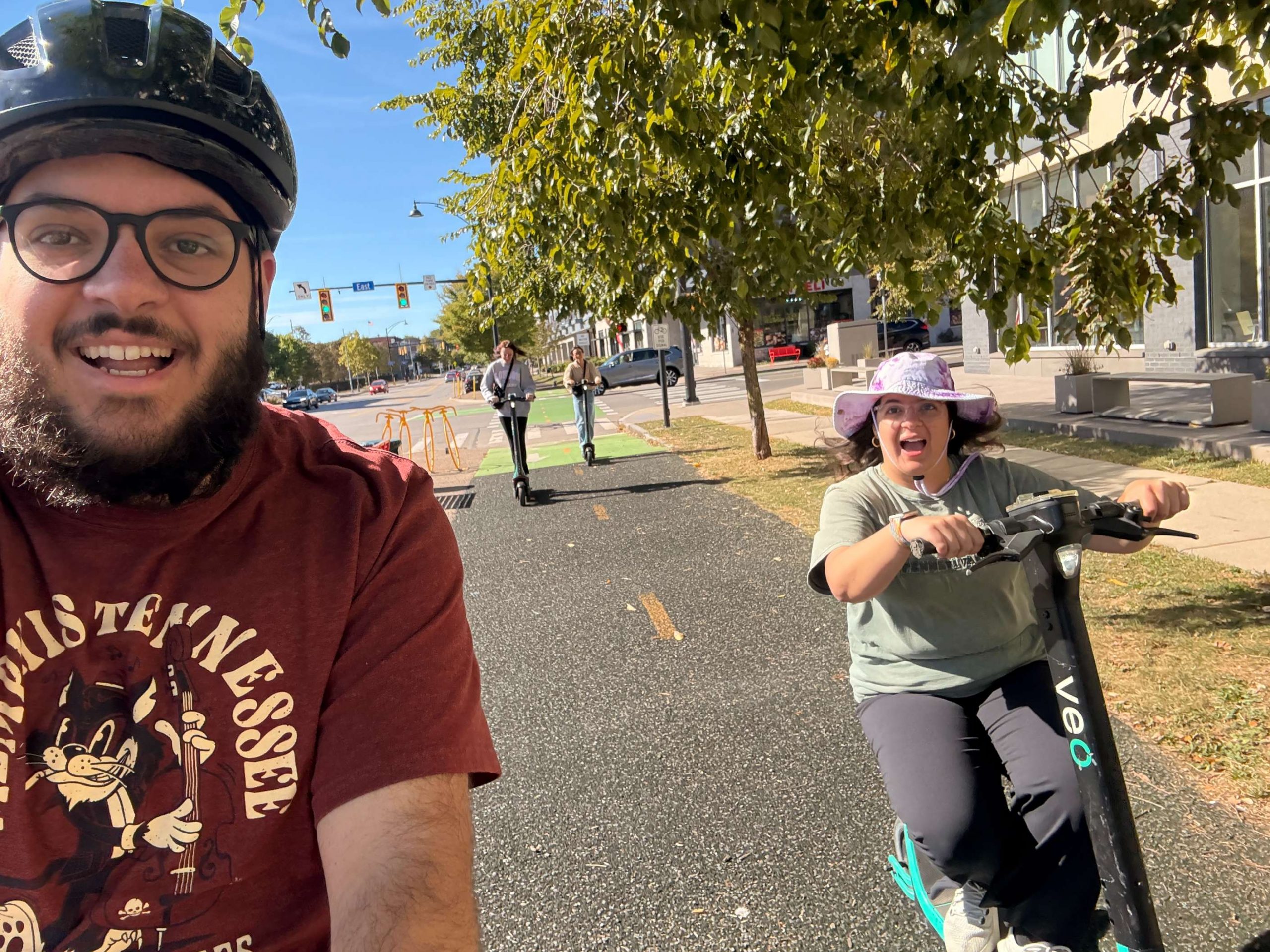
E-Bikes/E-Scooters

I took my e-bike to work today.  My son had a soccer game so I left work and headed to his game.  Unfortunately, I had to go up Culver and cross over 104 to get to east ridge road. Then I had to take a left on East ridge.  That whole area is not bike friendly but good news, I didn’t get yelled at by a car driver that I should be on the sidewalk.

Took an e scooter for the first time today! It was a little scary– they go so fast! But my legs were tired from an earlier bike ride so it was definitely a good alternative!

Reflections from EJ Bradford

Dressing in packable layers and having a way to store them was the biggest “tip” or “trick” I had this week. When the weather was predicted to be a low of 48/50 in the morning and then 75/80 in the afternoon, that was a big challenge for bike commuting. However, that made the bus much more appealing of a solution for me and was great when facing decision fatigue/paralysis with trying to find comfortable outfits to wear for theses commutes in highly variable temperatures.

I’m a fairly confident bike commuter, however I was shocked at how frequently the bike lane and shoulder was completely blocked by cars/construction/and signage this week. I saw plenty of “no parking” signs but it was clearly unenforced. This was both surprising and the trickiest for me this week. My bike commute is about 9.9 miles in one direction, so it’s longer than the average, but I have some very good bike lanes and options to use the Canal and Pittsford Rail Trail- I challenged myself to try new routes this week and was shocked at the lack of infrastructure.

I have walked from my office to the bus-stop that takes me direct to my neighborhood (the 41) it is about a 3 mile walk, mostly on sidewalks and fairly quiet neighborhoods. The amount of “car-centric” drivers who are shocked by this amount of walking saddens me. People are very comfortable walking that amount in parks, walking tracks, even doing laps in the mall. The social stigma of going on an hour long walk to an actual destination with a purpose in mind is a major challenge I have faced as a non-driver.

Thank you again to all of our participants!

Our local Week Without Driving initiative inspired wide local news coverage:

by No Comments

Making Rochester Streets Safer for All: The 2025 Complete Streets Makeover of Avenue D & Hollenbeck

Photo Credit: De’Jon Washington

Our fifth Complete Streets Makeover project at Avenue D & Hollenbeck Street is now complete! Since 2018, we’ve partnered with Rochester neighbors to transform neighborhood intersections in every quadrant of the city. By listening closely to community voices and focusing on safety over speed, we’ve transformed these intersections into spaces where pedestrians, cyclists, and drivers can all move with greater confidence.

The Selection Process

Located smack dab in the middle of the El Camino neighborhood, Avenue D is often treated as a thruway for traffic connecting larger roads such as St Paul St and N Clinton Ave where driver speeds tend to be higher. From Conkey Ave to N Clinton Ave, a one block distance from either side of the intersection, we saw a total of 16 crashes with pedestrians and cyclists between 2014-2023 with a noticeable cluster occurring right at the intersection of Avenue D & Hollenbeck St. 

These safety concerns raised red flags for vulnerable road users passing through this intersection. The nomination for this location came from an R-Center staff member who had helped move the needle with traffic safety improvements in this area through organizing R-Center youth to lobby for temporary speed humps as a traffic calming measure along Avenue D. 

With the Avenue D R-Center, an attractive third space for neighborhood youth, at one end of the block and senior housing nearby, the Steering Committee saw a need and opportunity to protect vulnerable road users in the area. 

Getting Community Input

At a community workshop in February 2025, we sat down with residents of the El Camino neighborhood to hear firsthand what it’s really like to navigate this intersection every day. After walking everyone through the idea of complete streets and how they can make roads safer and friendlier for everyone, we opened the floor. People shared stories, frustrations, and creative ideas, and we listened closely. A visit to School No. 8 added youth voices and ideas to the mix. Then we got to work turning those hopes and concerns into concrete design features—practical changes that reflect the community’s vision for a safer, smarter intersection.

A unique element to Avenue D & Hollenbeck St is that it is an “offset” intersection as opposed to a conventional t-intersection meaning that Hollenbeck St ends at Avenue D and continues again a few feet down on Avenue D. A recurring comment from the community was that drivers cutting diagonally across the intersection when traveling along Hollenbeck St posed a high risk for pedestrians. 

Based on community input from this session, the Stantec team drafted a conceptual drawing of street design improvements. Their rendering focused on elements that could be brought to life in the temporary, on-street installation and then translated into permanent improvements. For this project, they proposed flex posts in the center of Avenue D to direct vehicles to turn right, then left, giving drivers more time to watch for pedestrians and making their movements easier for pedestrians to anticipate. Flex posts in the middle of the roadway is the first installation of its kind in Rochester. This project will serve as a pilot of this intervention to improve pedestrian safety at offset intersections.

Making the Magic Happen at Avenue D & Hollenbeck

On Saturday, June 7, the street came alive as neighbors, the school community, and community partners* rolled up their sleeves together—painting a vibrant mural (designed by Artist TaQiyya Burrs), setting flex posts in place, and brightening the block with fence art and flower planters in the adjacent empty lot.

We are continually grateful to Floating Home Films, for documenting the transformation and producing a video of the process.

The Impact

The flex posts have helped to guide drivers on how to safely navigate through the intersection. The butterfly mural helps to reinforce the El Camino neighborhood’s identity while serving as a visible reminder that streets are shared spaces. Pre and post-installation data collection showed that the roadway has seen up to 16% reduction in the average speed off vehicles traveling westbound.

Most importantly, testimonials from neighborhood residents indicated a marked improvement in safe vehicle movement, feelings of safety, and added vibrancy in and around the intersection.

The Complete Streets Makeover of Avenue D & Hollenbeck inspired wide local news coverage:

Looking Ahead

In collaboration with the amazing neighborhood team, we will continue taking action on long-term advocacy opportunities, working with community partners for as long as it takes to achieve permanent changes to further improve pedestrian safety on Avenue D.

If you have a spot where you don’t feel safe, keep an eye out for our next project when we ask for nominations from the community. In the meantime, make sure to let the county know by filling out their Traffic Safety Concern Form.

*Community Partners

The Complete Streets Makeover of Avenue D & Hollenbeck was a collaborative venture with the following community partners:

by 3 Comments

Making Rochester Streets Safer for All: The 2022 Complete Streets Makeover of Orange & Orchard

Makeover team at Orange & Orchard
Photo Credit: De’Jon Washington

As we report out on the third successful Complete Streets Makeover project, let’s remember why we do this.

In the U.S., pedestrian fatalities have skyrocketed, increasing by 59% from 2009-2020. According to the latest “Dangerous By Design” report, between 2009-2020, drivers struck and killed 64,073 pedestrians in this country. Here in Monroe County, from 2012-2021, over 5,000 crashes involved bicyclists and pedestrians, and ten people die on our local streets every year as a result of these crashes.

Monroe County Crash Map
Reconnect Rochester Crash Map of Monroe County, 2012-2021

Responding to this growing epidemic was the impetus behind our Complete Streets Makeover project, created to bring attention to street design as one critical factor in the safe streets equation.

The Selection Process

We began this year’s project back in July 2021 by asking you (the people that walk, bike, and roll along our streets every day) to help identify the intersections and trouble spots where you live, work and play that could be redesigned to make them safer for everyone. The community response was tremendous, and we received a total of 76 nominations for 68 locations in Monroe County.

From these submissions, our Steering Committee selected the intersection of Orange Street & Orchard Street in the JOSANA neighborhood for this year’s project.

Complete Streets Makeover Steering Committee
The Steering Committee hard at work

The Orange & Orchard location presented the right mix of community support, evidence of safety concerns, and potential for a street redesign that would create real, transformative change for the community through this project. School 17 is located right at this intersection and was a strong advocate for implementing change. Last fall, the Rochester City School District eliminated the Walker-Bus Program that had provided transportation for students living within 1.5 miles of their school, which contributed to the school’s desire to improve safety for its walkers.

Getting Community Input

So what happened next? We connected with representatives of School 17 and the JOSANA neighborhood, and together we planned a community workshop held in February at the school. We invited school families and residents to come share their experiences at this intersection and ideas for how it could be safer. At the workshop, which was facilitated by the Community Design Center of Rochester-CDCR, attendees were first led through the basics of road safety statistics and complete streets. Then, CDCR volunteers helped translate the community’s thoughts and desires into actionable design elements that would improve the intersection.

Based on community input from this session, the Stantec team drafted a conceptual drawing of street design improvements. Their rendering focused on elements that could be brought to life in the temporary, on-street installation and then translated into permanent improvements.

Complete Streets Makeover Design Rendering

Making Magic at Orange & Orchard

After much planning with the JOSANA neighborhood, over 150 people came out to Orange & Orchard on May 14 to make the magic happen! Attendees were made up of people from the neighborhood, school community, and a team of community partners*. Together, we worked to make the intersection of Orange Street & Orchard Street a more vibrant, safer place for everyone.

Design elements to calm traffic and improve safety included enhanced signage, curb extensions, temporary speed cushions, and a street mural designed by local artist Shawn Dunwoody. The temporary design was created by Stantec, which donates pro bono professional engineering services for the project. Other elements to beautify the space, like fence art and flower planters, were done with help of 2nd graders as part of their class project.

Nothing captures the life of a project better than film. Reconnect Rochester is pleased to share this short film, produced by Floating Home Films, that tells the full story.

We hope you enjoyed watching a beautiful display of community! We will continue supporting the neighborhood in their effort to make these temporary street design improvements permanent.

The Impact

But did it make a difference? YES! Data collected before and after the implementation (April and July, respectively) shows a measurable decrease in vehicle speeds along Orchard Street. Let’s get specific.

Makeover speed data graphic

Since the implementation, the 85th percentile speed (the speed that 85% of vehicles travel at or below) declined 28% and the maximum speed declined 26%. It’s worth noting that the maximum recorded speed in July happened between 1:15am and 1:30am.  Other than that outlier, the maximum speed was only 32 mph!  Even the average speed dropped 20%, despite there being no school in July. This is particularly notable with the safe assumption that arrival/dismissal congestion suppressed the speed of a great deal of traffic during our April data collection.  Finally, the speed data showed only 13 of 1,017 vehicles were traveling over 25 mph.

When it comes to speed, each mile-per-hour a driver is traveling makes a difference for pedestrian and cyclist safety, and can be the difference between life and death or a person sustaining life altering injuries.

Impact of pedestrian collisions graphic
The impact of vehicle speed in pedestrian collisions (The Healthi Kids Coalition)

Learn even more about the Complete Streets Makeover of Orange & Orchard

Looking Ahead

Our awesome team is on board to continue our Complete Streets Makeover program in 2023 and beyond!  So keep taking note of the intersections and trouble spots you experience in your daily travels that could use a re-design, and keep an eye out for calls for public submissions. Together, we’ll keep advocating to design our streets for people, and we’ll keep making it happen one intersection at a time.

*Community Partners

The Complete Streets Makeover of Orange & Orchard was a collaborative venture with the following community partners:

by 8 Comments

A Resident’s Proposal for a New Mixed-Use Trail in Irondequoit

If you’ve ever navigated the world without a car (whether that be for necessity or recreation), you’ve probably had a, “Why can’t I get over there from here?” moment. Guest blogger, Jack Rinaldo, had so many of these “moments” that he actually wrote up a proposal for a new mixed-use trail in Irondequoit, which would connect the eastern edges of Norton Street and Ridge Road. Curious? Read on for the nitty-gritty details in his own words.

Guest Blog by Jack Rinaldo

If you want to walk or bike to or from Southeast Irondequoit, you need to cross 104. There are only three locations to do so, highlighted in red in the picture below. Goodman Street and Culver Road have intersections with on/off ramps for 104. Both of these locations are dangerous for pedestrians and cyclists, no matter if they are on the road or the sidewalk. The other option is Bay Shore Boulevard. This street is calm, but it has huge hills at either end of it, making it unusable for most people.

These barriers cut off the southeast side from the rest of Irondequoit. Would you let your kids use any of the three current routes? I am an experienced and confident cyclist and I will not ride on those sections of Goodman or Culver.

The proposed new trail would run from Norton Street north to Ridge Road. As seen in the picture below, the trail would start just east of the Norton Street/590 onramp. The trail could run very close to the 590 onramp, similar to the Brooks Avenue/390/Erie Canal Trail setup as shown below. It would then run north, connecting with the road that the new Irondequoit town Department of Public Works (DPW) is on. This half mile section would potentially be the only new construction needed.

Once connected to the DPW road, trail users could use that road to reach Ridge Road. Additional sections of trail to the side of the road could be added as well if they are determined to be needed.

This trail would be similar to other local trails near highways such as the Route 390 Trail in Greece, and the Route 104 Trail in Webster.

Brooks Avenue, 390, and Erie Canal Trail

This new trail would easily connect to the Sea Breeze Drive trail as seen in the picture below. Once at Ridge Road, trail users go 1000 feet west to Kane Drive. Kane Drive is a nice calm street. Once at Kane Drive, they would proceed north until they met the Sea Breeze Drive trail at the Titus Avenue roundabout.

The new trail would also easily connect to the City of Rochester’s Bicycle Boulevards. Heading south, traveling 700 feet west on Norton Street brings you to Helendale Road. Helendale Road is another calm street. Once in the Laurelton neighborhood, use Spencer Road and Whittington Road to directly access the Bicycle Boulevard system on Farmington Road.

To connect the new trail to the other systems above, all that would be needed would be signage directing users along the route.

The newly expanded trail system would also connect all six of the schools in the East Irondequoit School district. Students and families could use the trail to access school facilities for class and extracurricular events.

  • Irondequoit High School is 400 feet from the Kane Drive/Ridge Road intersection, and a path to the school’s athletic facilities is on Kane Drive.
  • East Irondequoit Middle school is 1200 feet west of the Norton Road/Helendale Road intersection, then 500 feet up Densmore Road.
  • Laurelton-Pardee Intermediate School is 1700 feet from the Norton Road/Helendale Road intersection.
  • Helendale Road Primary School is directly on Helendale Road.
  • Durand-Eastman Intermediate School is almost directly on the Sea Breeze Drive trail.
  • Ivan Green Primary School is 1 mile away by safe neighborhood roads from Kane Drive.

The newly expanded system would connect many parks such as Irondequoit Bay Park West, Tryon Park, Durand-Eastman Park, the Lakeside Trail, SeaBreeze Amusement Park, Irondequoit Bay State Marine Park, and the beach at the Irondequoit Bay outlet.

Here is a link illustrating the new trail and it’s connectivity to the town: https://www.google.com/maps/d/edit?mid=1CTSRzSTvziHLSrxeJaSAt5wvJEjHc9Sd&usp=sharing (best viewed with Google Maps’ cycling layer turned on)

Irondequoit can look at the successes other towns have with trails, such as the new Brickyard Trail in Brighton, as well as the continued use of miles of trail that already exist in the region. Creating the new trail would be a great opportunity for the town to take unutilized land and better connect residents and neighborhoods, while promoting healthy and environmentally friendly transportation. The half mile of construction needed to achieve all of this would be very worth it.

by No Comments

Hey Albany!

Last week, Reconnect Rochester went on a “Virtual Trip to Albany” to champion public transit and safe streets for Rochester residents (and all New Yorkers). We spent the day meeting with state legislators and their staff and having great conversations about what needs to be done to move towards our vision of a robust and equitable transportation network. We’re fortunate to have many allies in our State delegation to push for better multi-modal transportation across New York.

We’d like to shout out Reconnect Rochester Board members Victor Sanchez, Bill Collins, and Jason Partyka for devoting their time to the effort, and and huge thank you to all the legislative offices who took the time to meet with us: Assemblymembers Demond Meeks, Harry Bronson, Jennifer Lunsford, Sarah Clark, Josh Jensen, and William Magnarelli, and Senators Samra Brouk, Jeremy Cooney, and Tim Kennedy. Check out more screenshots from the day!

Read our asks for Albany legislators below. Wondering what YOU can do to advocate for better transportation for all New Yorkers? Check out the links below from our partners at the New York Public Transportation Association and the NYS Safe Streets Coalition.

NYPTA Take Action and Toolkit
NYS Safe Streets Coalition Crash Victims Rights and Safety Act


New York State 2022-23 Transportation Priorities

Public Transit:

RTS continues to be a vital service for our region as we recover from the pandemic. While COVID relief funds have helped to cover revenue loss and increased expenses, robust long-term, recurring funding will be necessary to grow and sustain the system. Governor Hochul has shown strong commitment to public transit, and we urge the Legislature to build upon those proposals in the final budget.

    1. Increase State Mass Transit Operating Assistance (STOA) for upstate transit systems by 36% ($49 million). The Governor’s Budget only proposes a 13% increase for upstate systems.
    2. Include $159.5 million annual funding level for non-MTA transit through the entire proposed 5-year capital program ($698 million 5-year total) in the final budget.
    3. Continue the STOA hold-harmless for formula systems impacted by pandemic ridership loss.
    4. Support Rider Representation (S3559A/A7822) – requires the appointment of a transit dependent and para-transit dependent representative on various transportation authorities.

Bicycle and Pedestrian (Active Transportation):

Pedestrian and cyclist injuries and fatalities are on the rise, which is why Reconnect Rochester has been working with the NYS Safe Streets Coalition to prioritize legislation to address this silent epidemic. Consider sponsoring or co sponsoring the Crash Victims Rights & Safety Act (CVRSA) to make our streets safer:

    1. Statewide Speed Limit (S2021/A01007) – allow for lower life-saving speeds across New York State
    2. Sammy’s Law (S524/A4655) – allow for lower life-saving speeds limits in New York City
    3. Complete Streets Funding (S3897/A8936) – increase state funding where the municipality agrees to fund a complete street design feature
    4. Complete Streets Application (S8394/A08624) – require consideration of complete streets design for projects which receive federal or state funding
    5. Complete Streets Maintenance (S5130/A7782) – include complete street design features in resurfacing, maintenance, and pavement recycling projects
    6. Right to Safe Passage (S4529/A547) – require drivers pass bicyclists at a safe distance of min. 3 feet
    7. DMV Pre-Licensing (S1078A/A5084) – educate NY drivers about safely interacting with vulnerable road users
    8. Crash Victims Bill of Rights (S8152/A9152) – guarantee rights and a voice for crash victims and their loved ones in legal proceedings

In addition to the above legislative package, these are other bills related to bicyclists that we would encourage you to consider sponsoring or co-sponsoring:

    1. S920/A3104 – allow for what is known as an “Idaho Stop” which allows cyclists to treat stop signs as yield signs and red lights like stop signs
    2. A8656 – repeal certain provisions of the vehicle and traffic law and would allow e-bikes to be ridden anywhere regular bikes can be ridden
    3. S3080 – establish the ride clean rebate program which would allow e-bikes and e-scooters to be eligible for a 50% rebate with a maximum of $1,100

Train and Long-Distance Bus:

Bus and train users tend to be lower income and people of color, and deserve equitable funding for their long-distance transportation that is comparable to the investments made in airline travel. Consider including funding for a bus terminal extension for the Louise Slaughter Rail Station in the new budget or when additional Federal funding is available. 

All Modes: 

Please sponsor or co-sponsor S4264A/A6967, the “Climate and Community Investment Act”, a Green New Deal for New York State. This would help create jobs and funding for carbon reduction and environmental justice programs.