Over the years, we’ve received dozens of thoughtful submissions from Rochester residents for places where it doesn’t feel safe to walk or bike. Responding to this growing epidemic was the impetus behind our Complete Streets Makeover program, created to bring attention to street design as one critical factor in the safe streets equation. Do you know of a risky spot in your daily travels? Make sure to nominate it for consideration and you could see this change on YOUR street!
The Selection Process
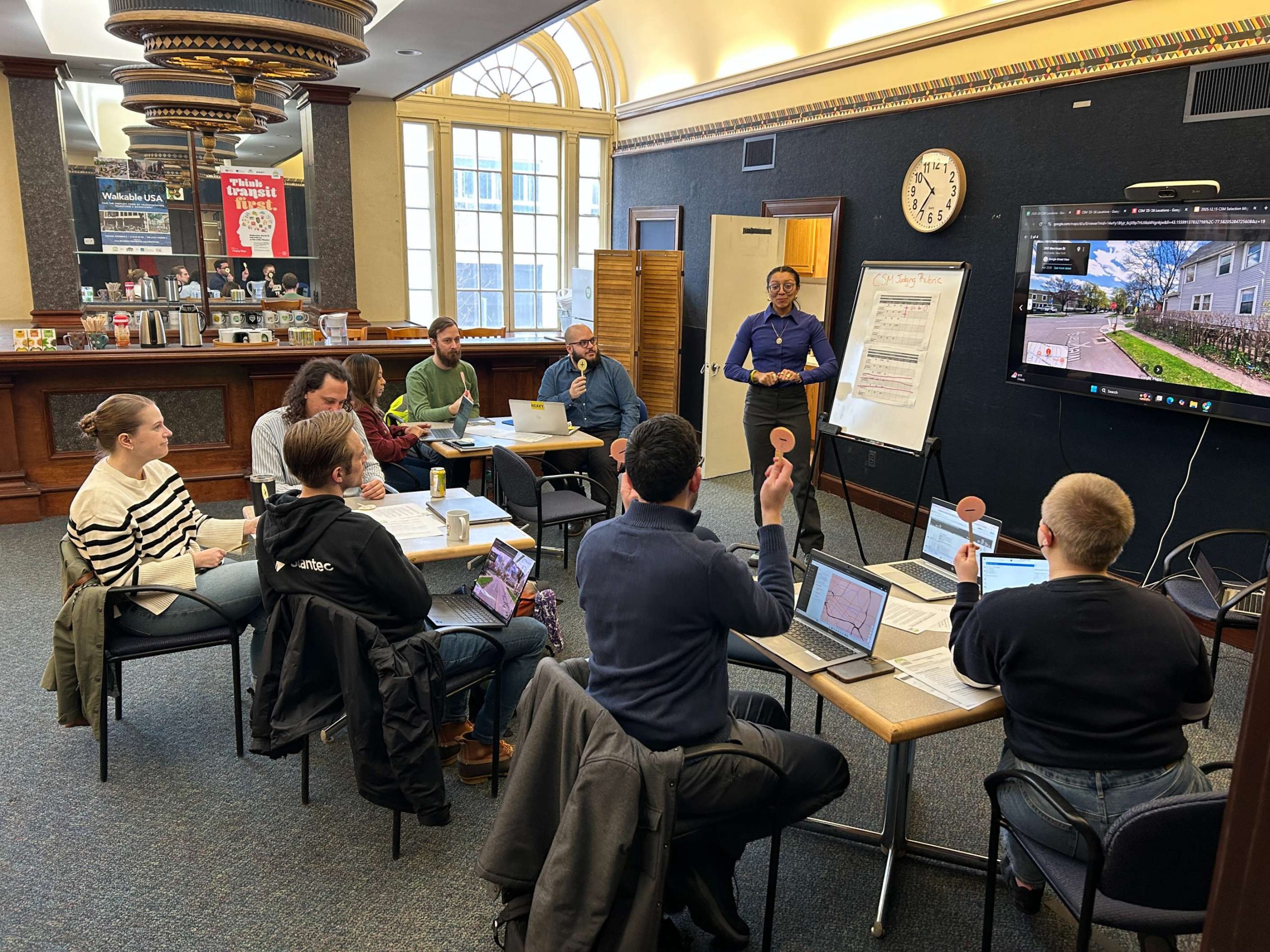
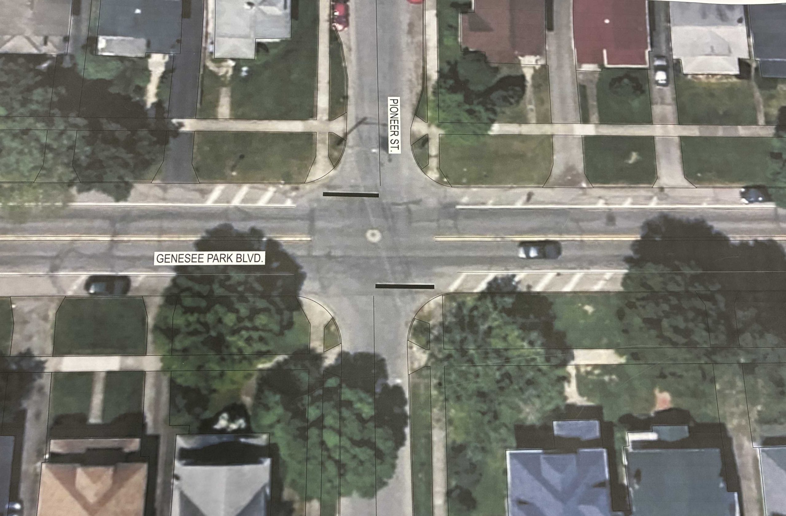
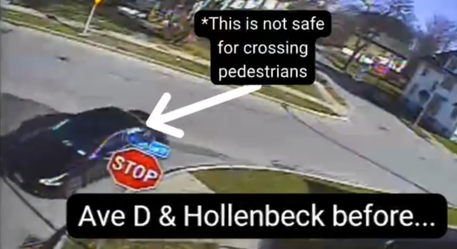
A steering committee made up of our program partners selected Genesee Park Boulevard and Pioneer Street from a pool of 48 community submissions. “There are [crashes] at this intersection at least every other week. It has always been a problem…” is what the original nominator mentioned as a concern. As we dug deeper, other neighbors mentioned that drivers failing to yield to the right of way has made them feel unsafe rolling or walking through the intersection.
That’s especially concerning because this intersection connects people to Genesee Valley Park and some of Rochester’s most popular active transportation routes, including the Empire State Trail and Genesee Riverway Trail. It’s also a key connection for University of Rochester students, families, and children traveling to and from School #53.
When an intersection makes people change their route out of fear, it’s a sign that it’s time to rethink the design.
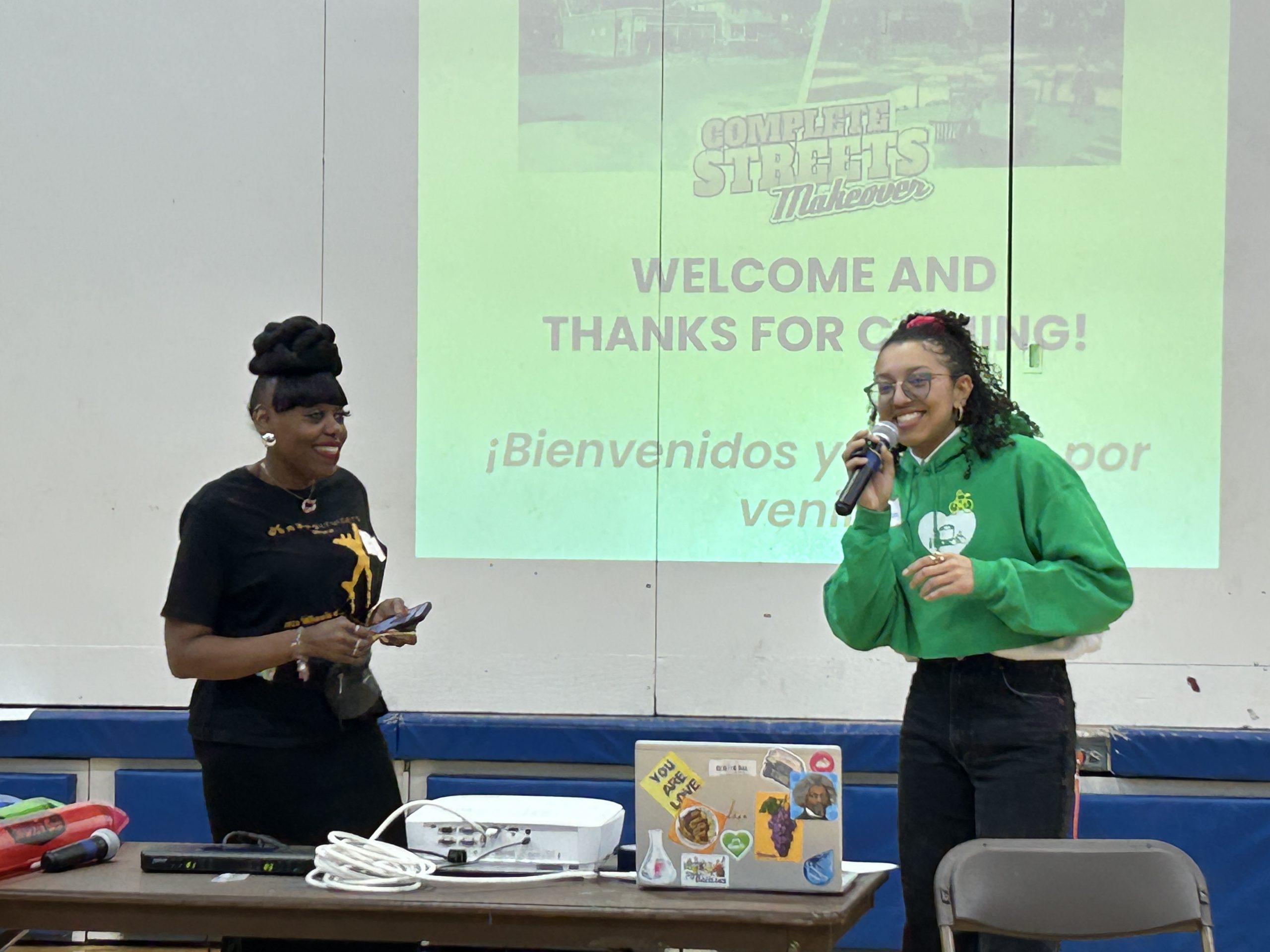
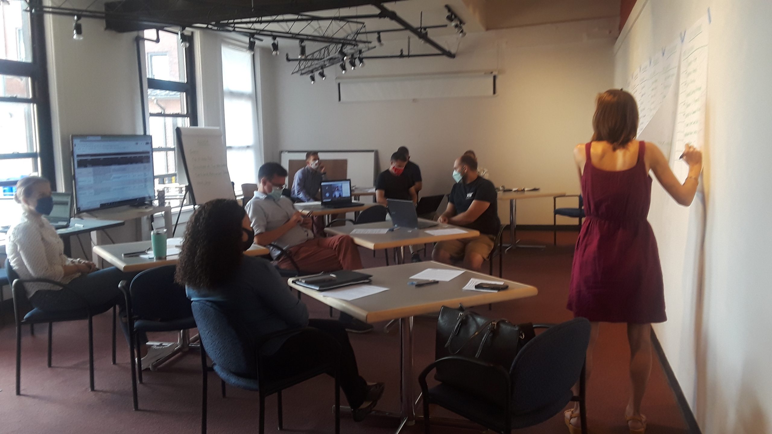
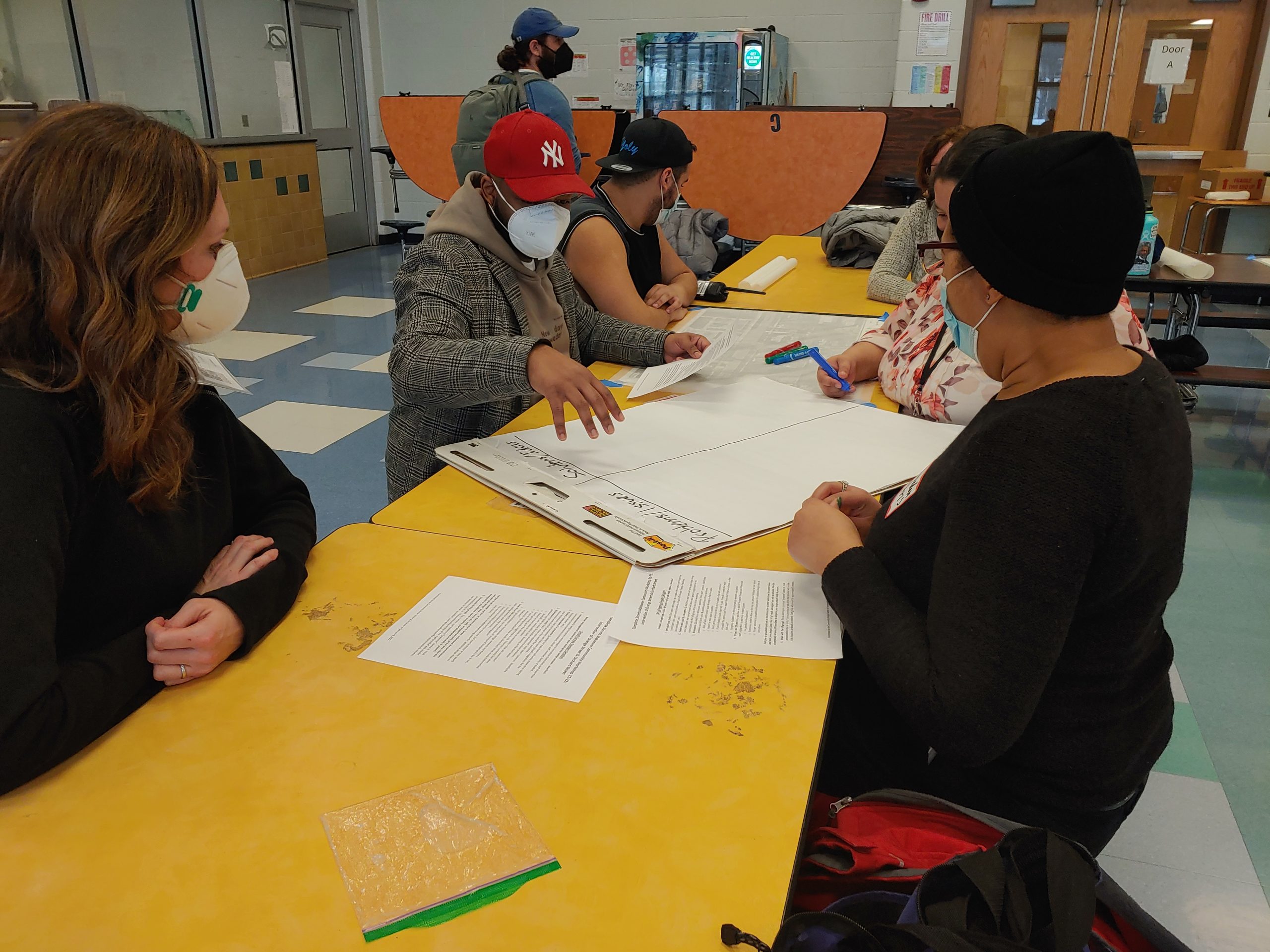
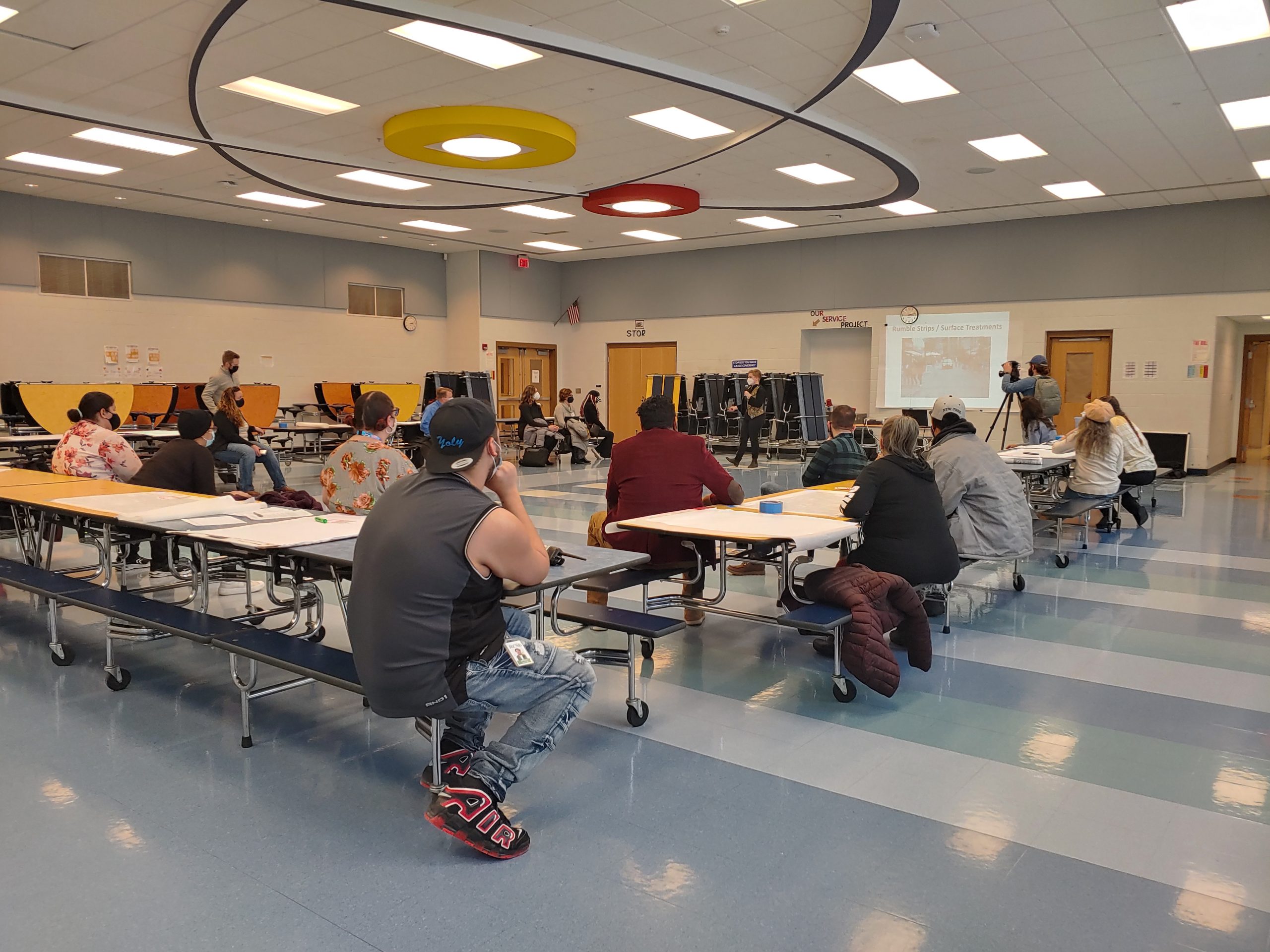
Getting Community Input
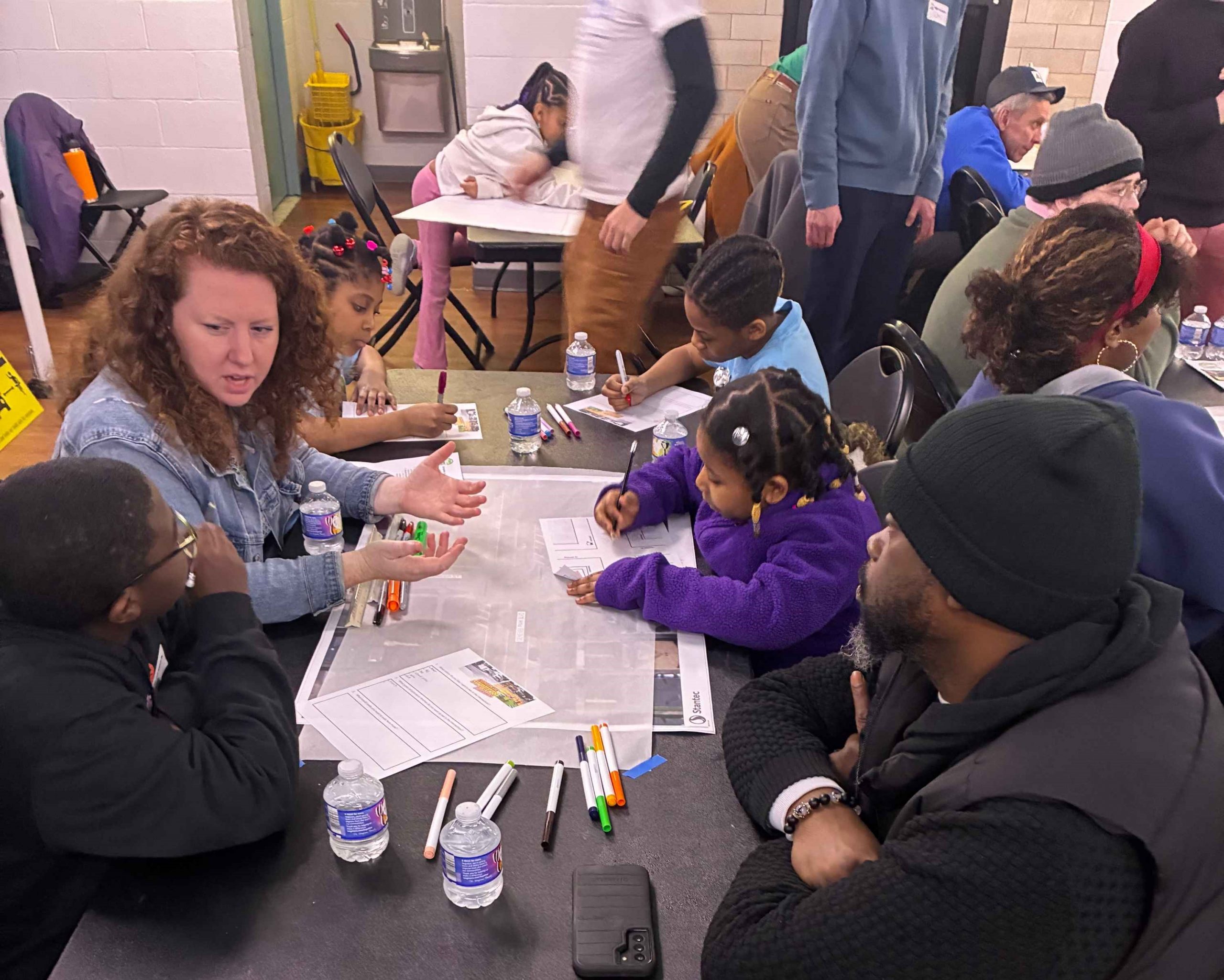

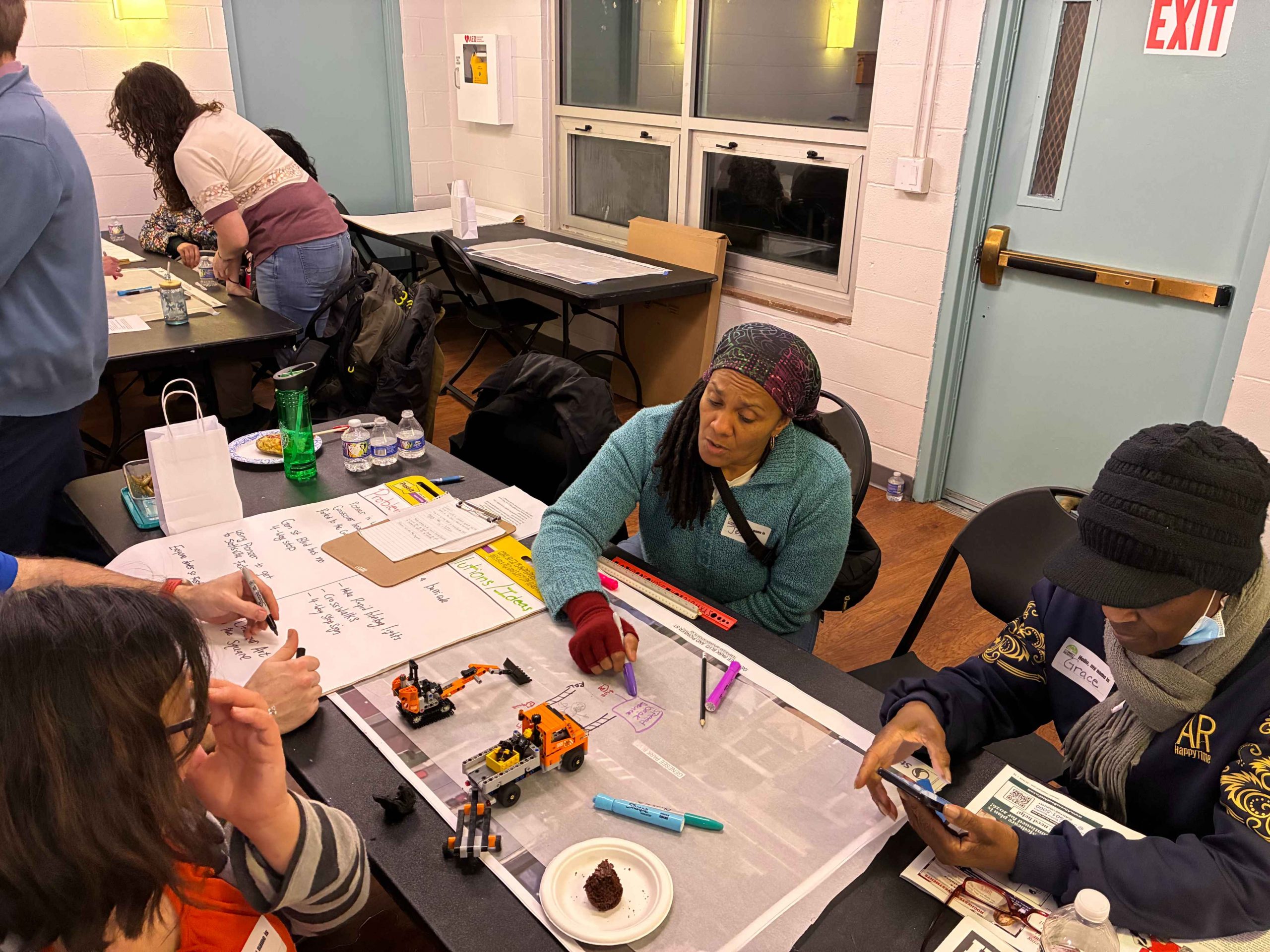
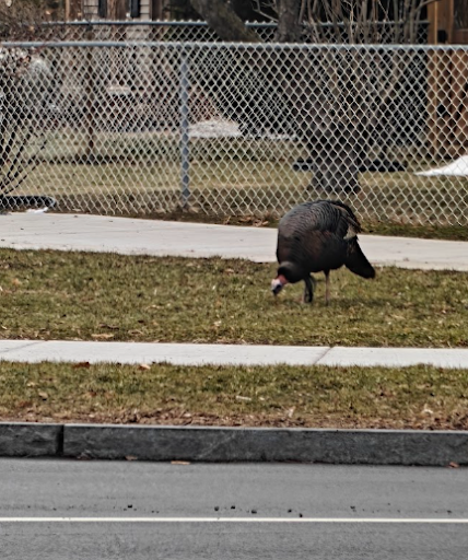
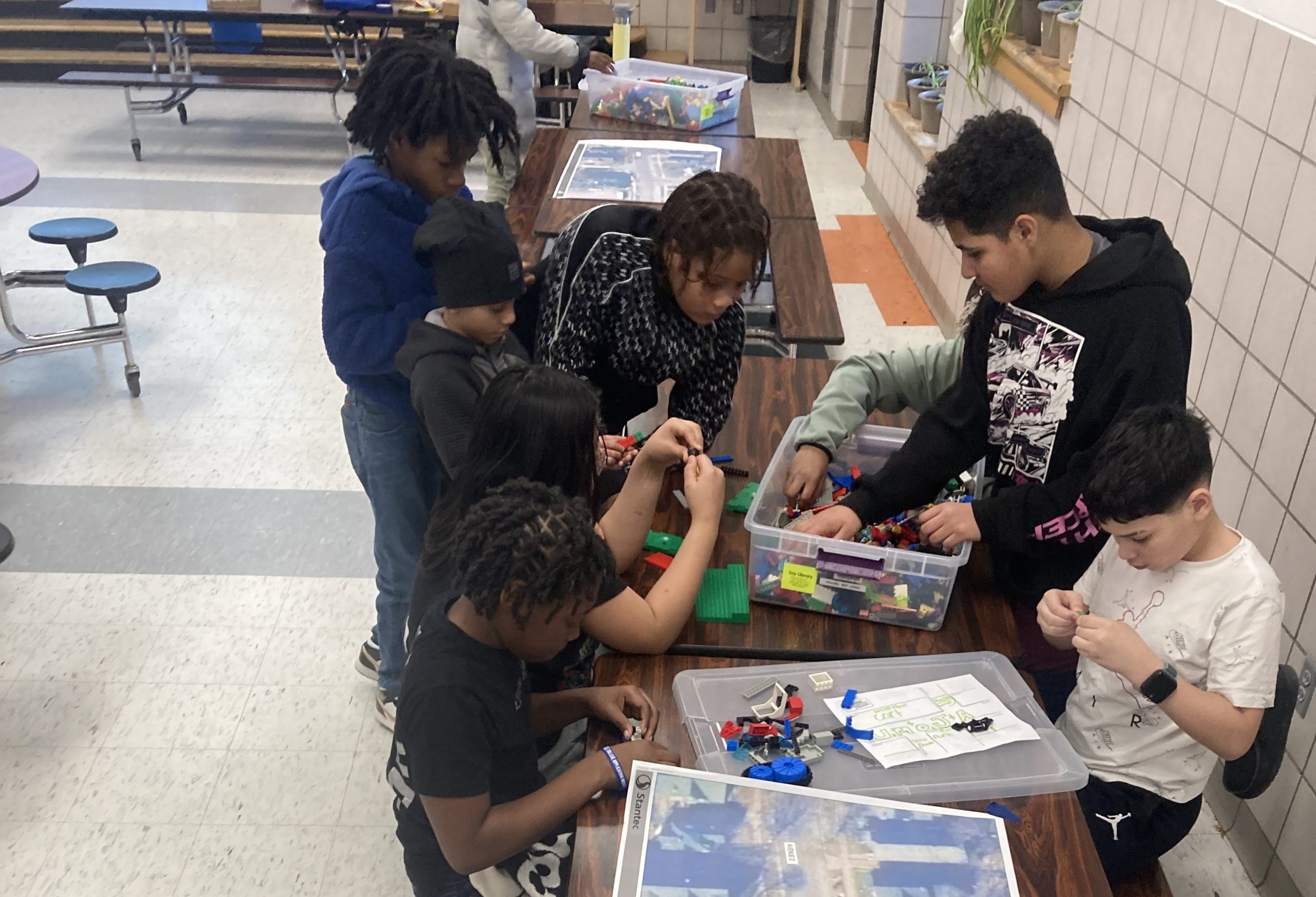
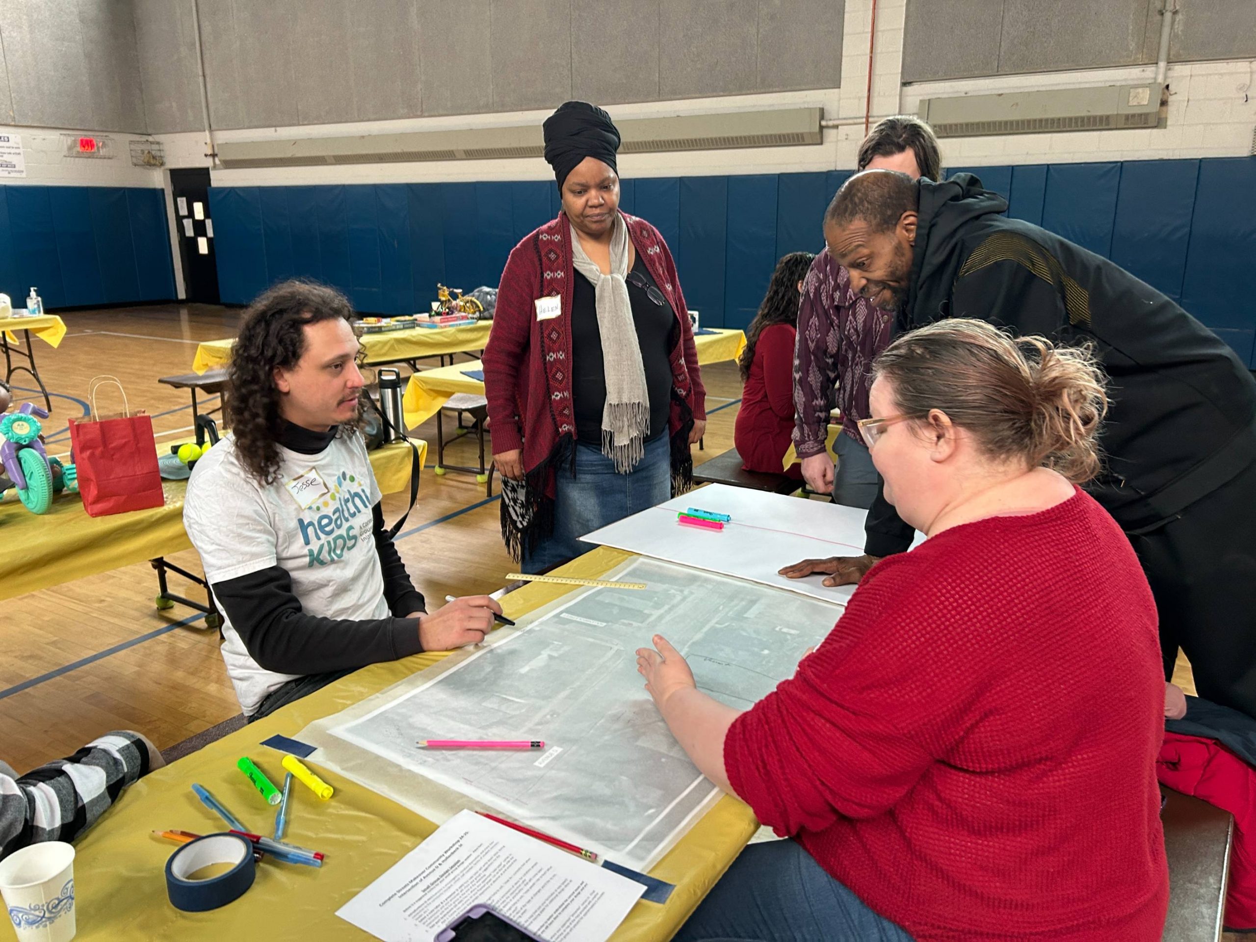
At our neighborhood design workshop in March, 19th Ward residents gathered to discuss the specific concerns they have while traveling through this intersection on a daily basis. Neighbors of all ages joined to envision safer crossings, playful sidewalks, better wayfinding, public art, and a reference to the 19th Ward’s neighborhood traffic calming turkey to serve as a symbol for the need to address safety for all road users.
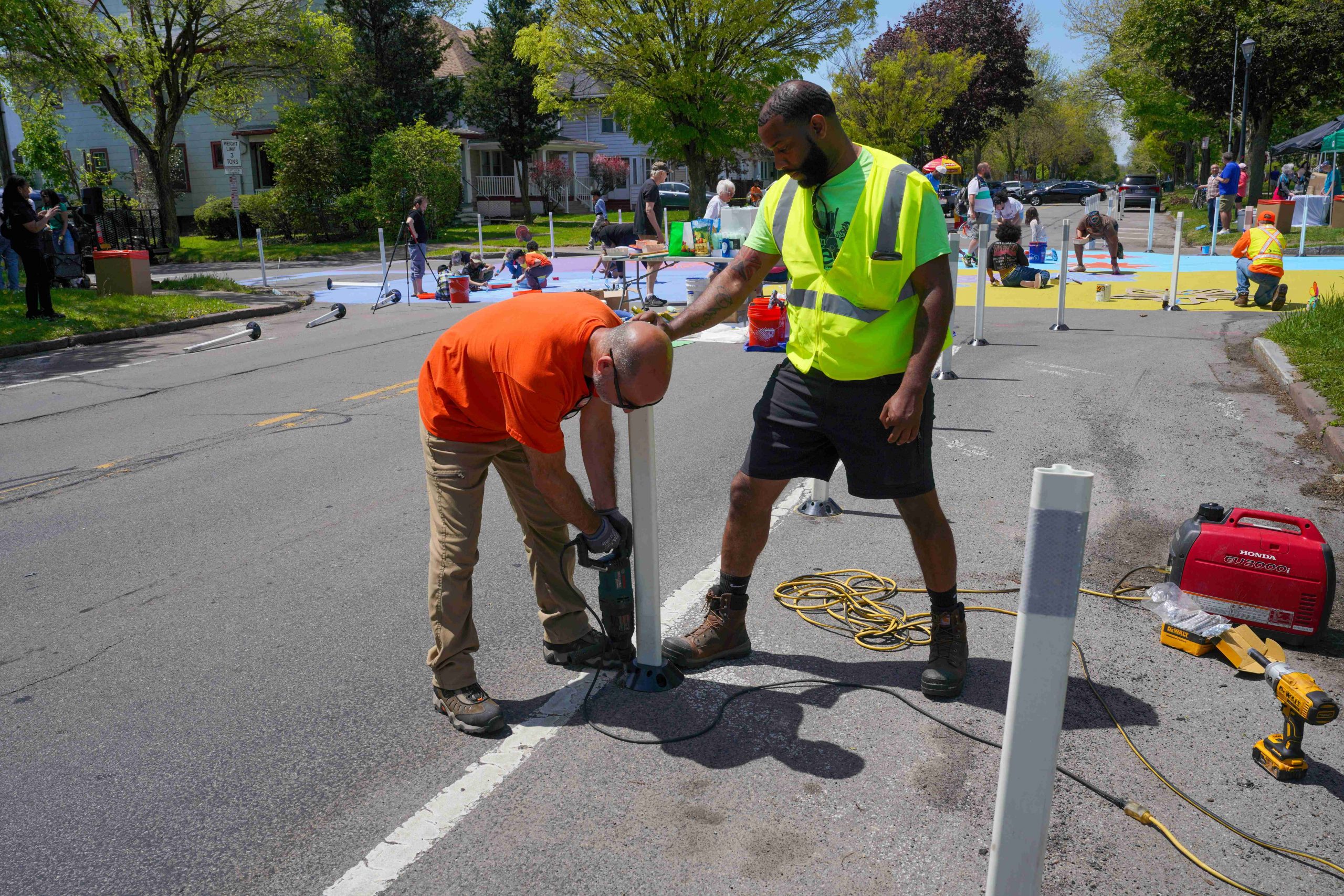
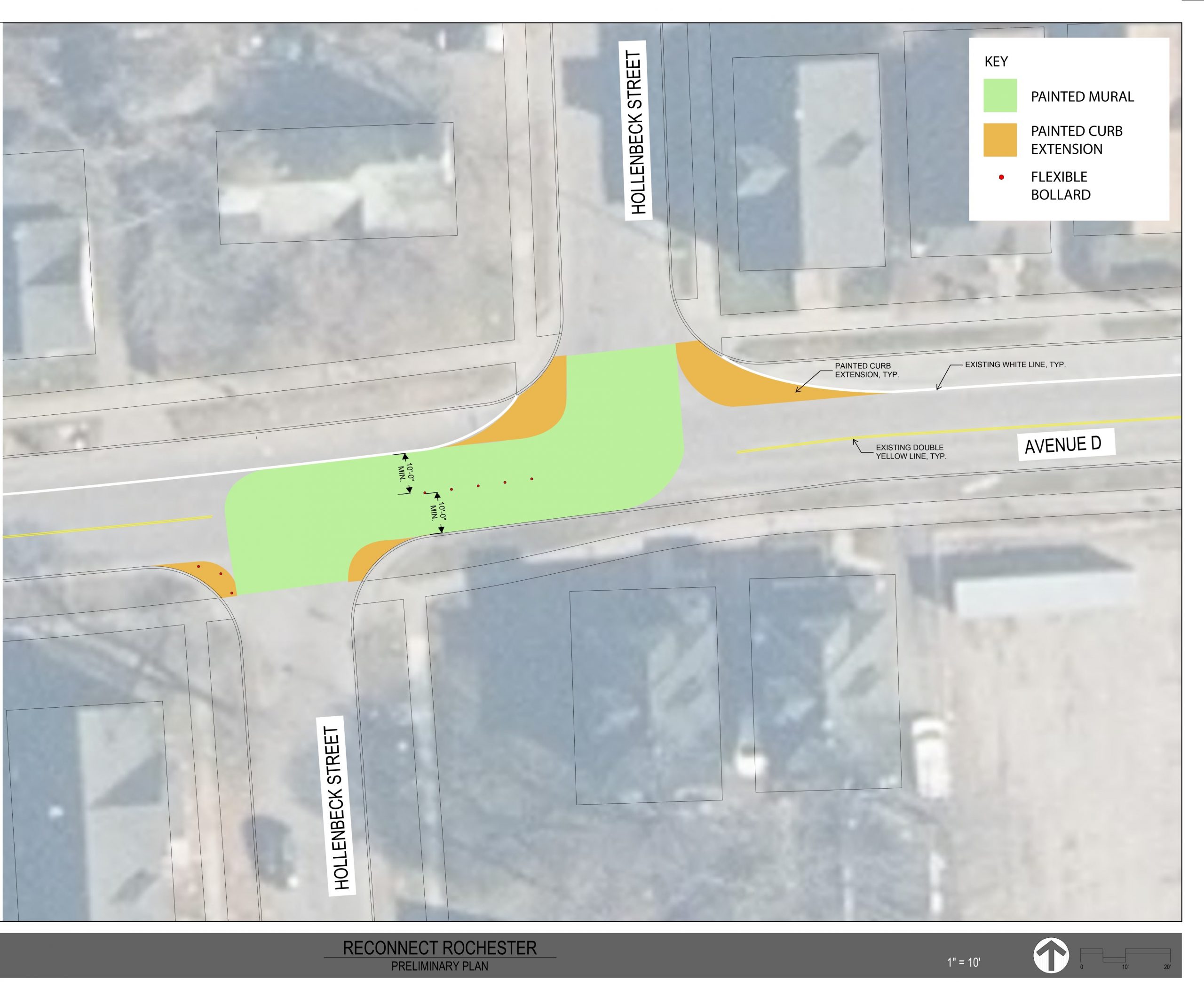
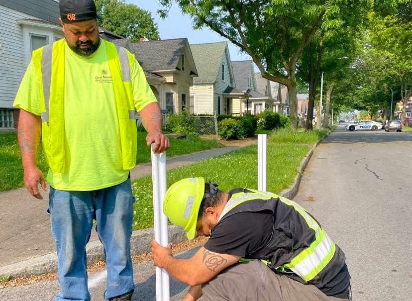
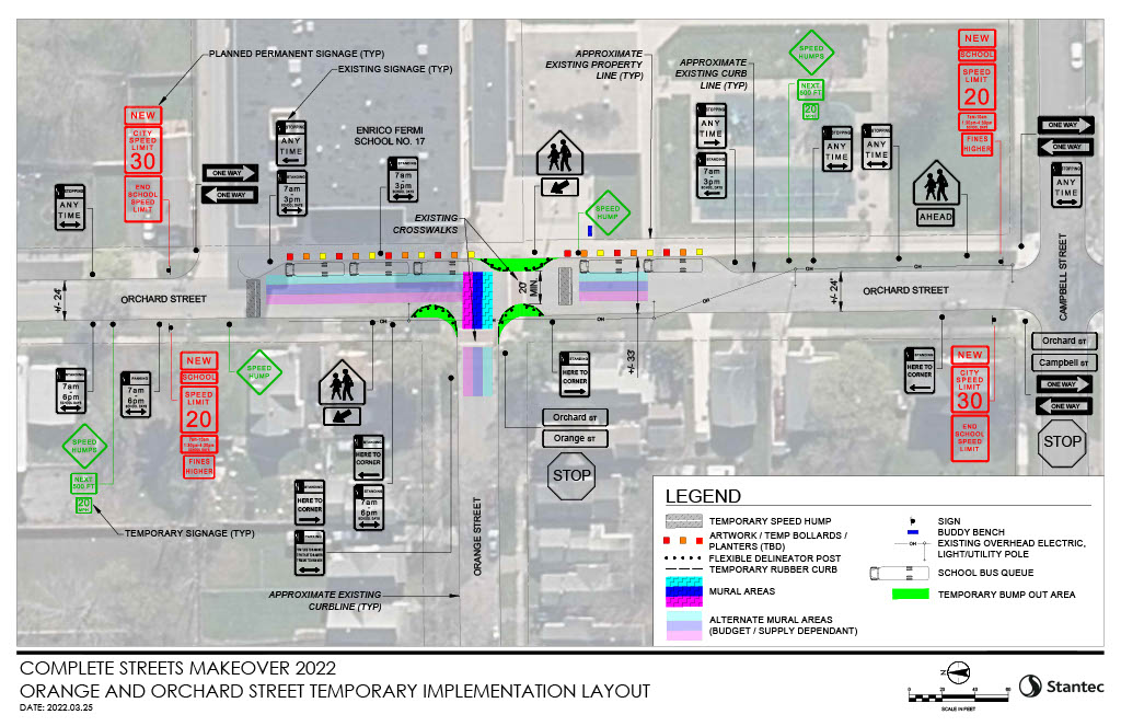
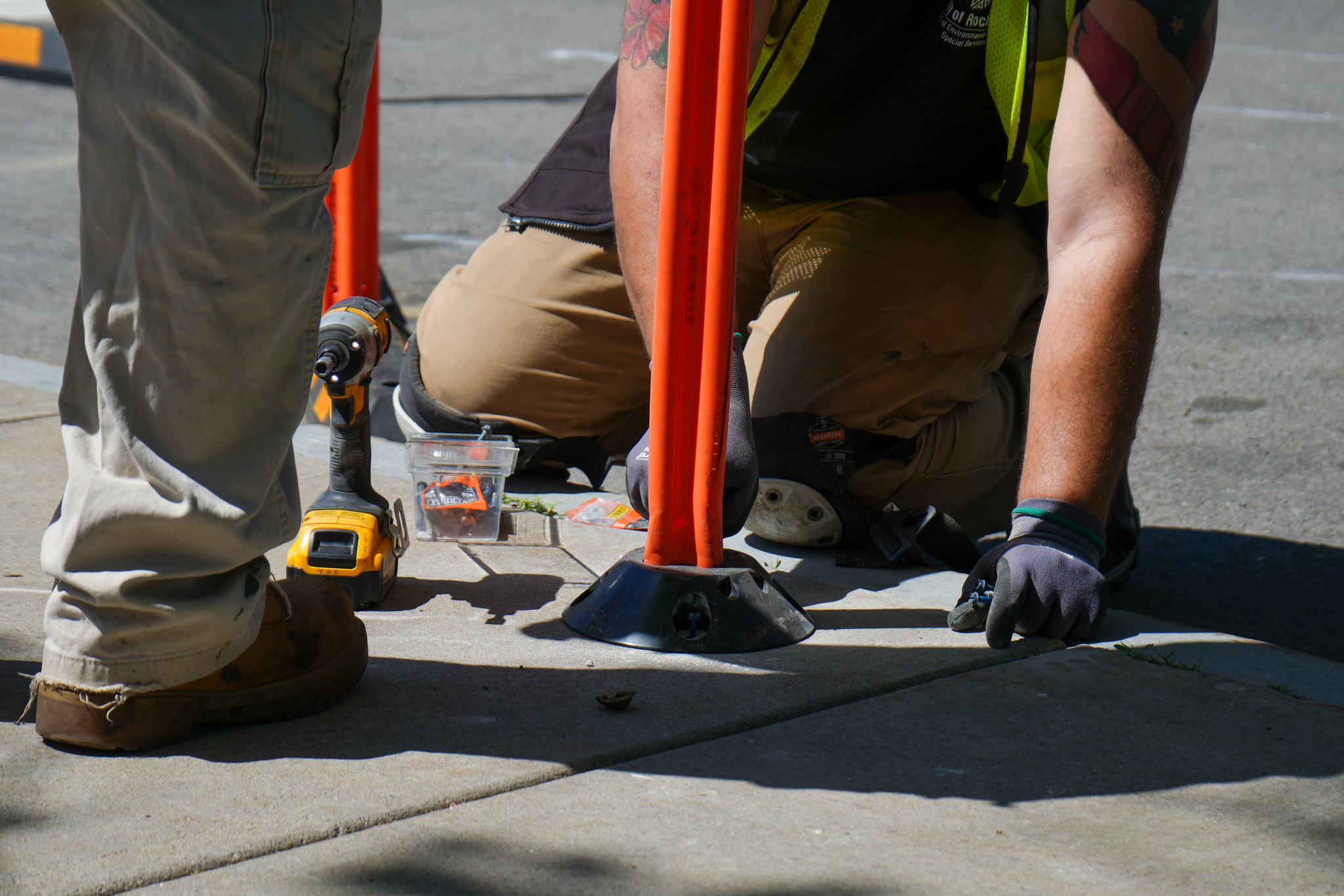
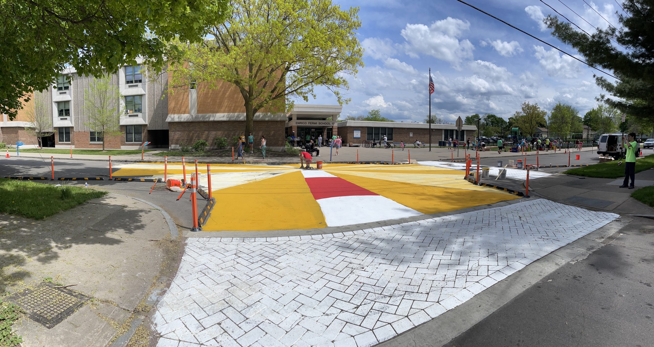
Our partners at Stantec created a rendering based on the neighborhood feedback. The final design used flexible delineator posts to visually narrow the roadway; using a design strategy backed by traffic safety research to slow traffic and daylight the intersection which prevents parked vehicles from obstructing visibility of oncoming road users when crossing.
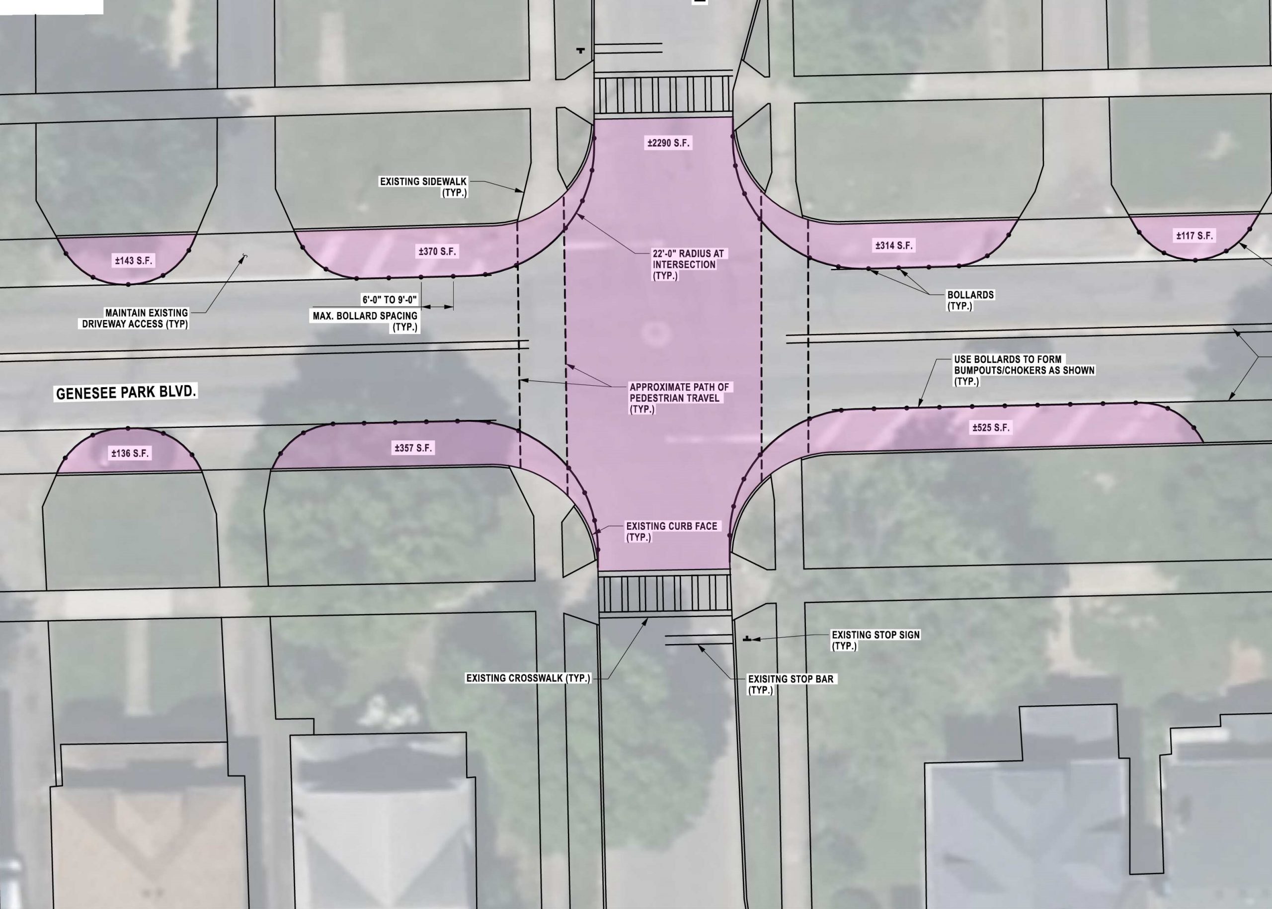
While neighborhood residents favored a temporary neighborhood traffic circle, the additional approvals and complex logistics were not possible within the timeline. We moved forward with a curb extension design for the strongest improvement we could install immediately.
We will be working with the 19th Ward to strongly advocate for a traffic circle to be tried in the next couple of years. If efficacious in reducing speed (without barring the ability for larger vehicles to pass through), we will push to have this design element included in the planned reconstruction of Genesee Park Blvd planned for 2032.
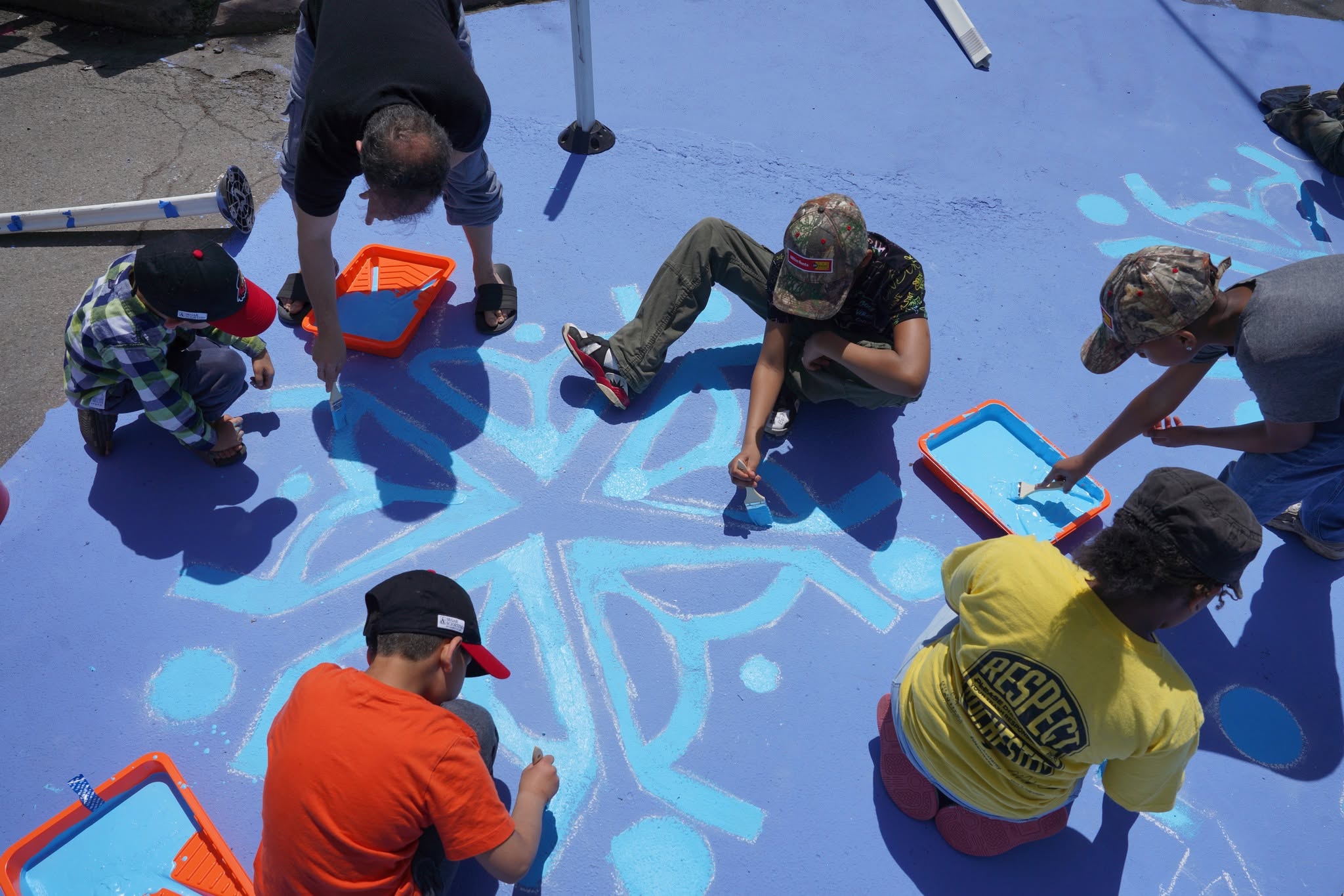
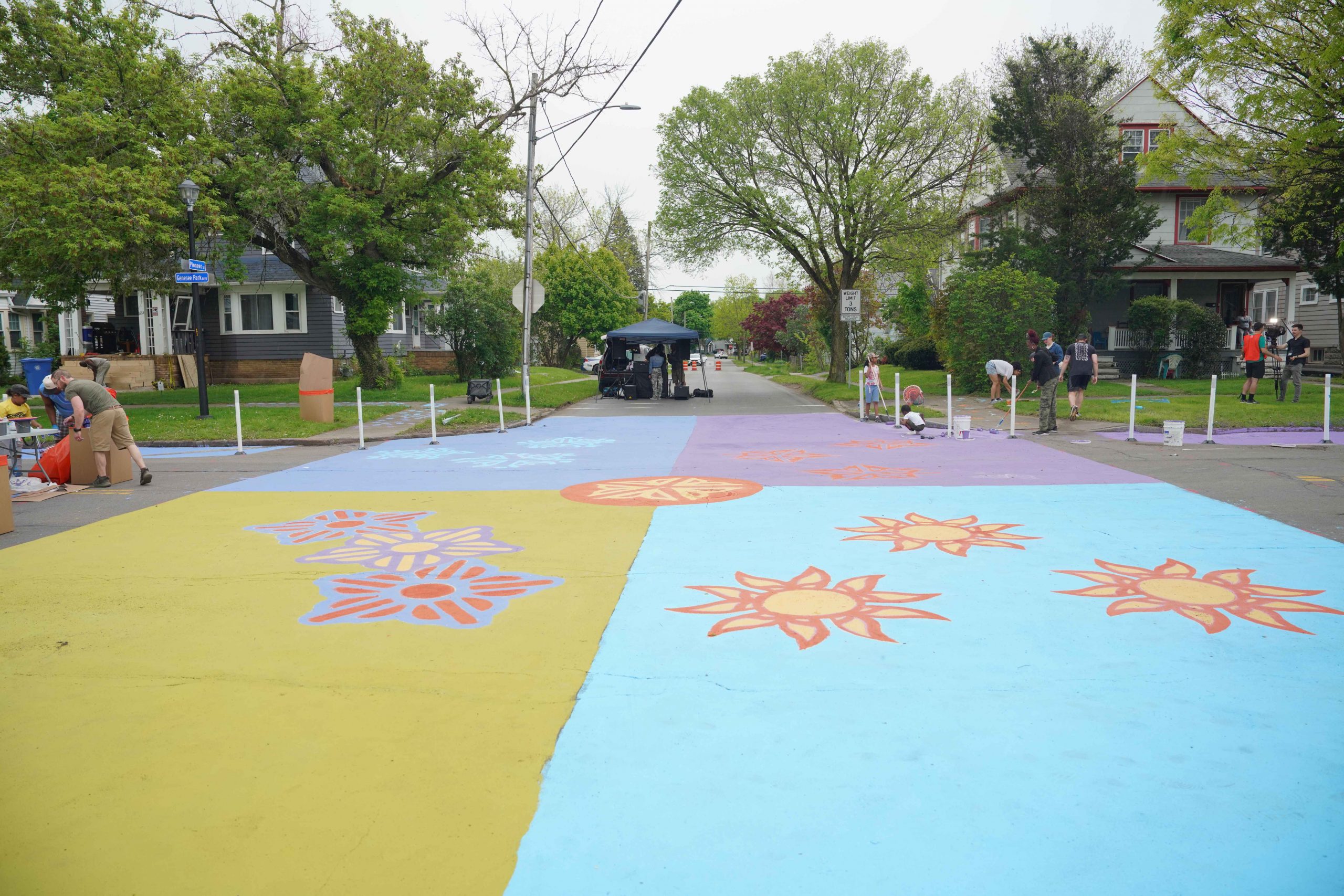
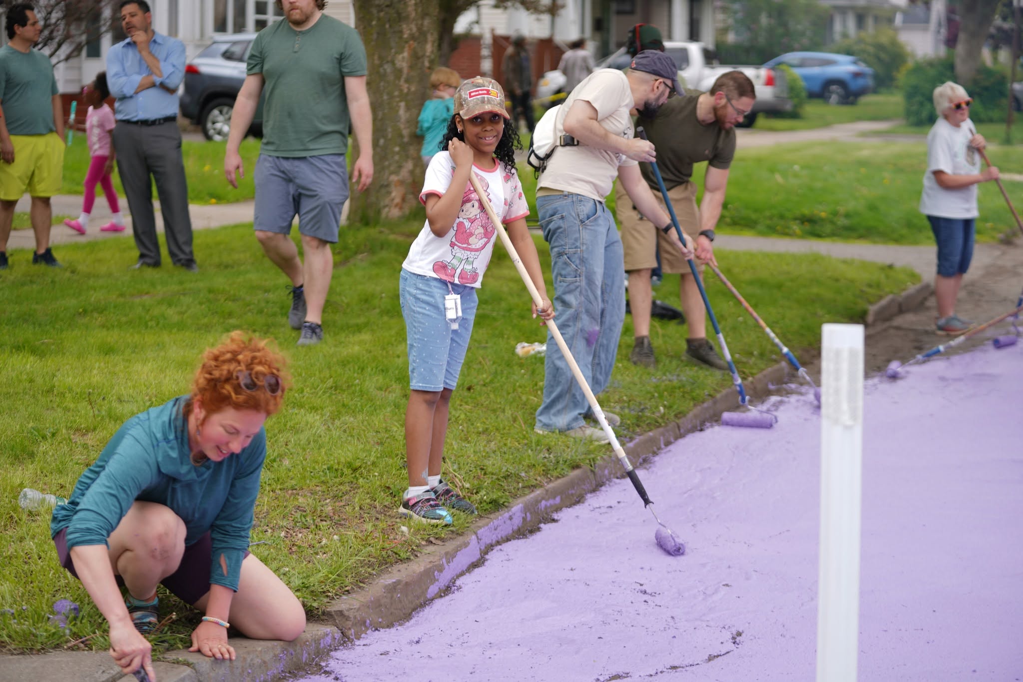
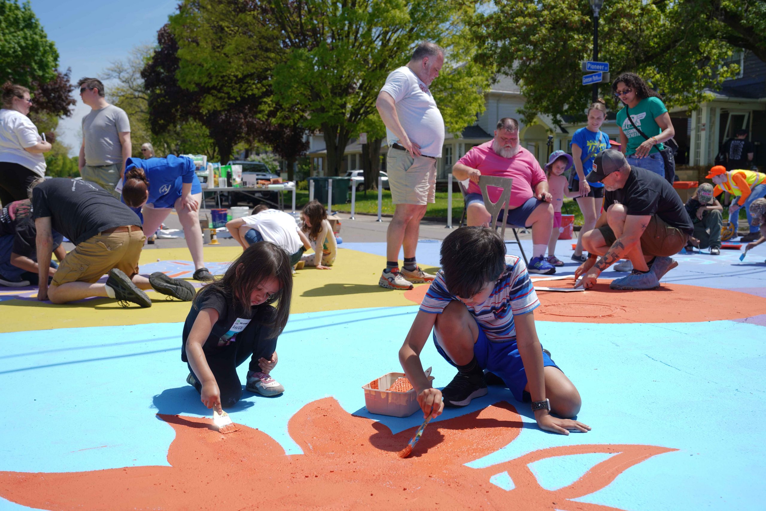
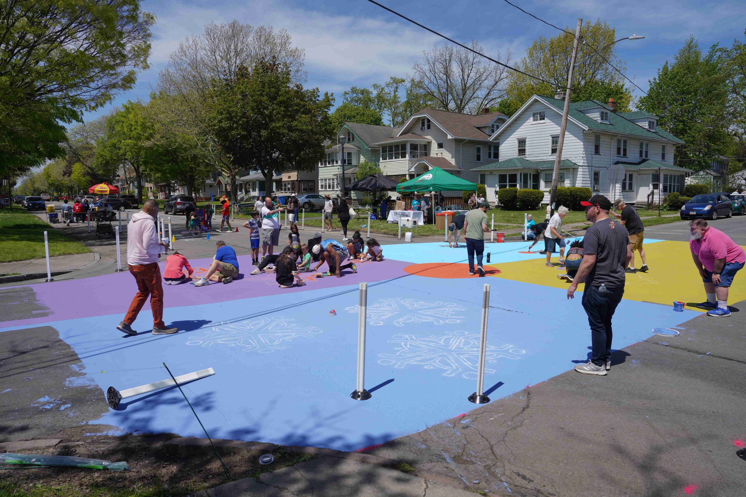
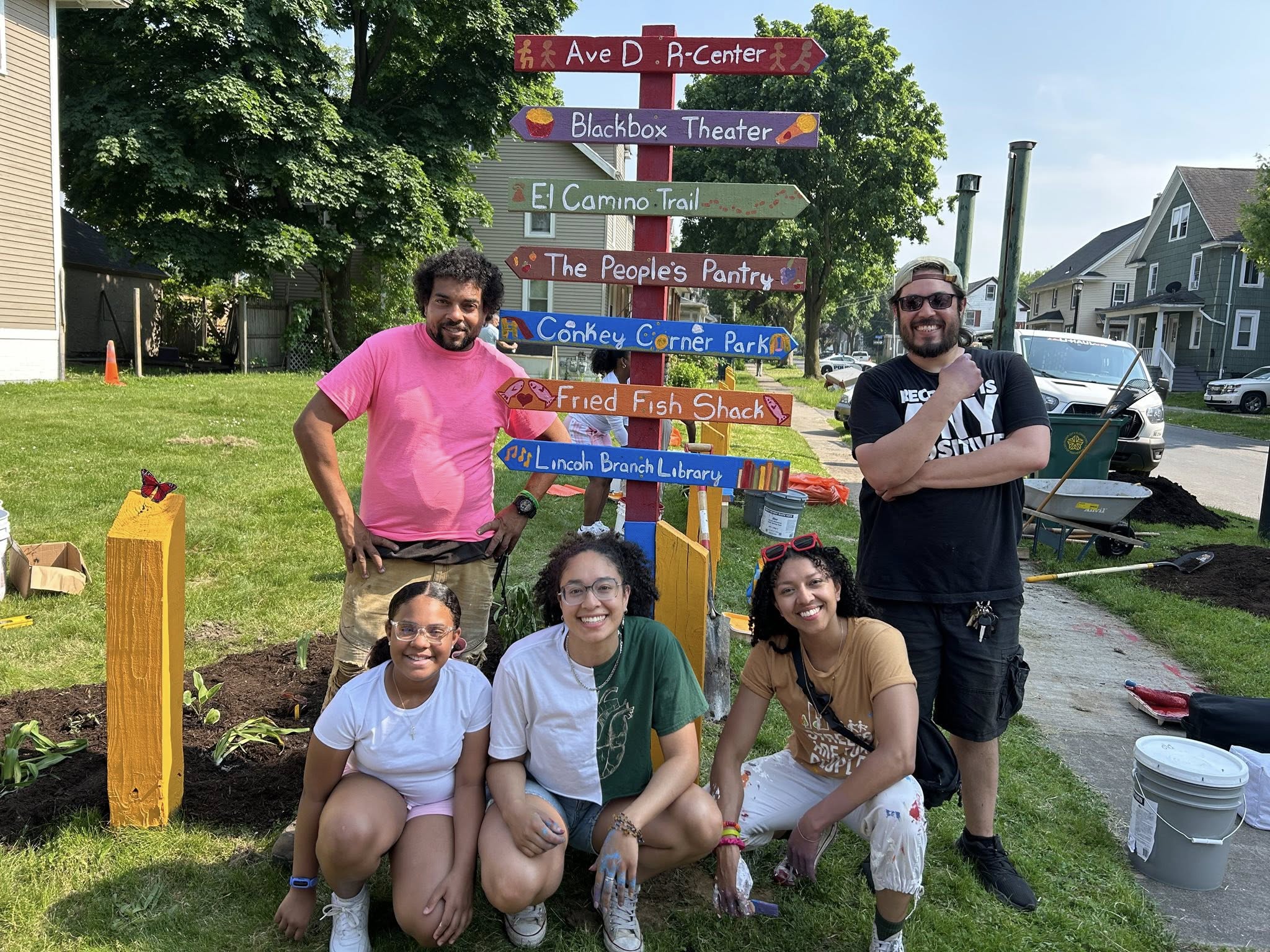
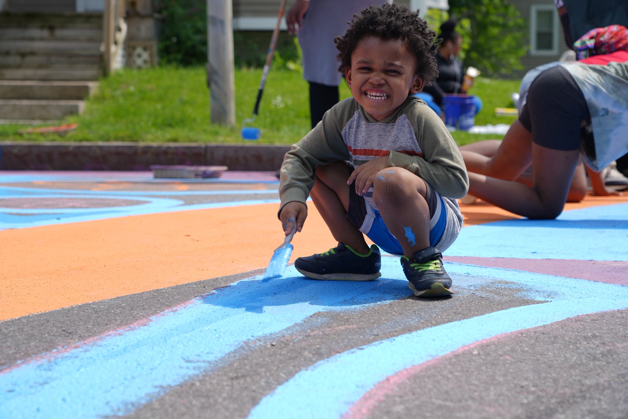
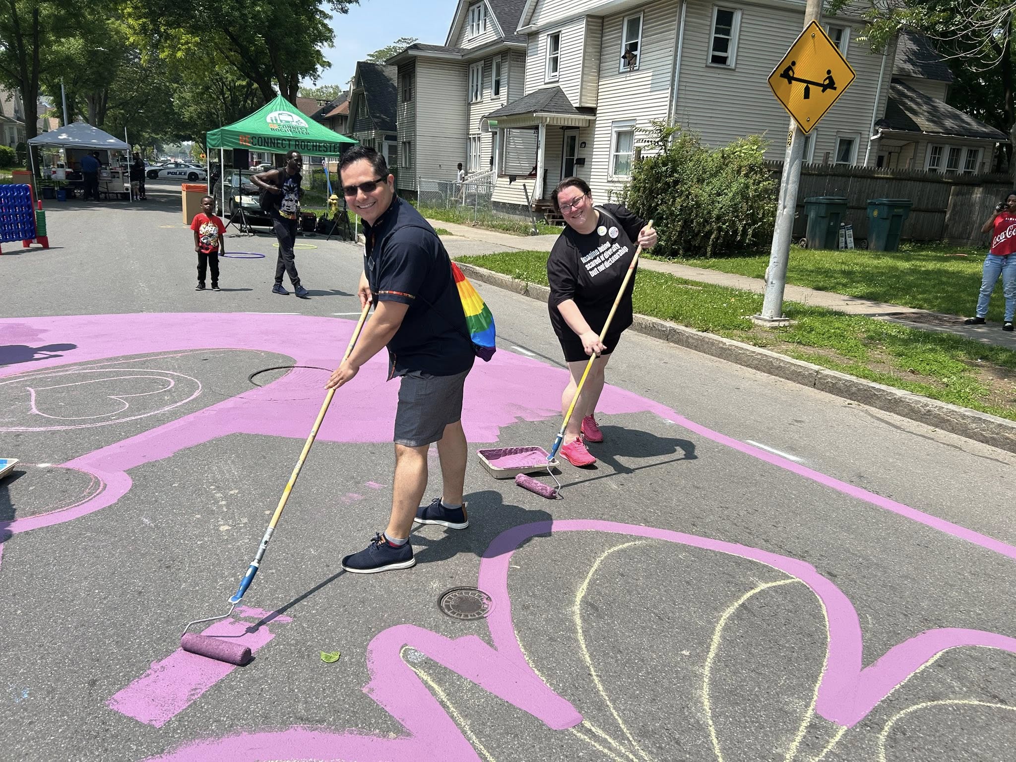
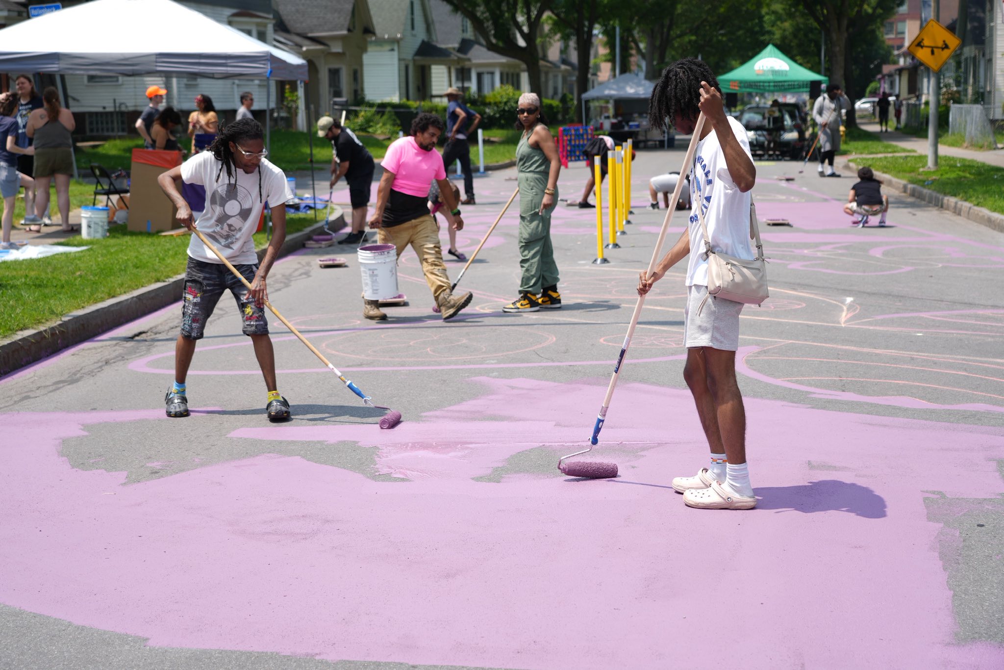
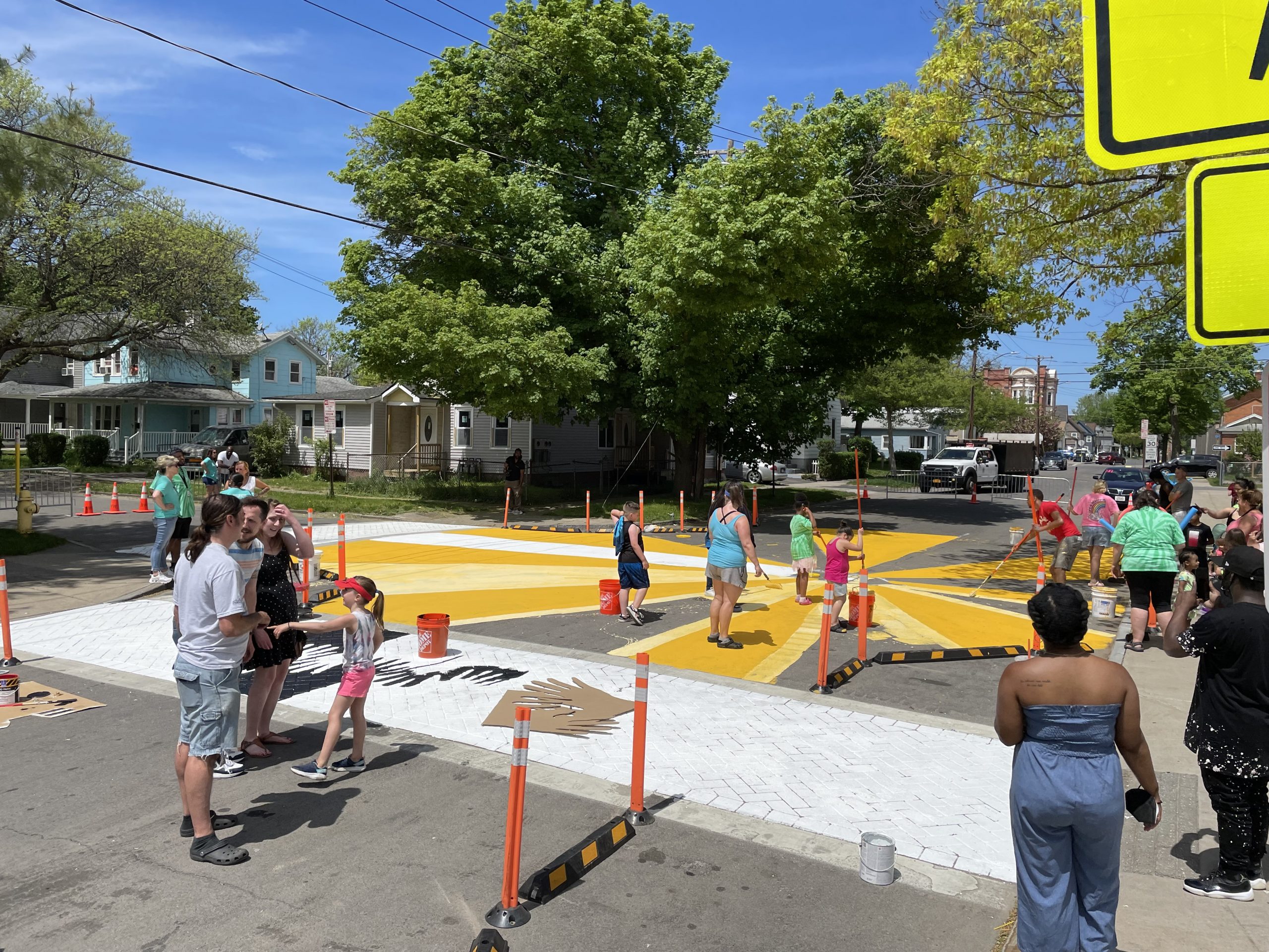
Making Magic at Genesee Park and Pioneer
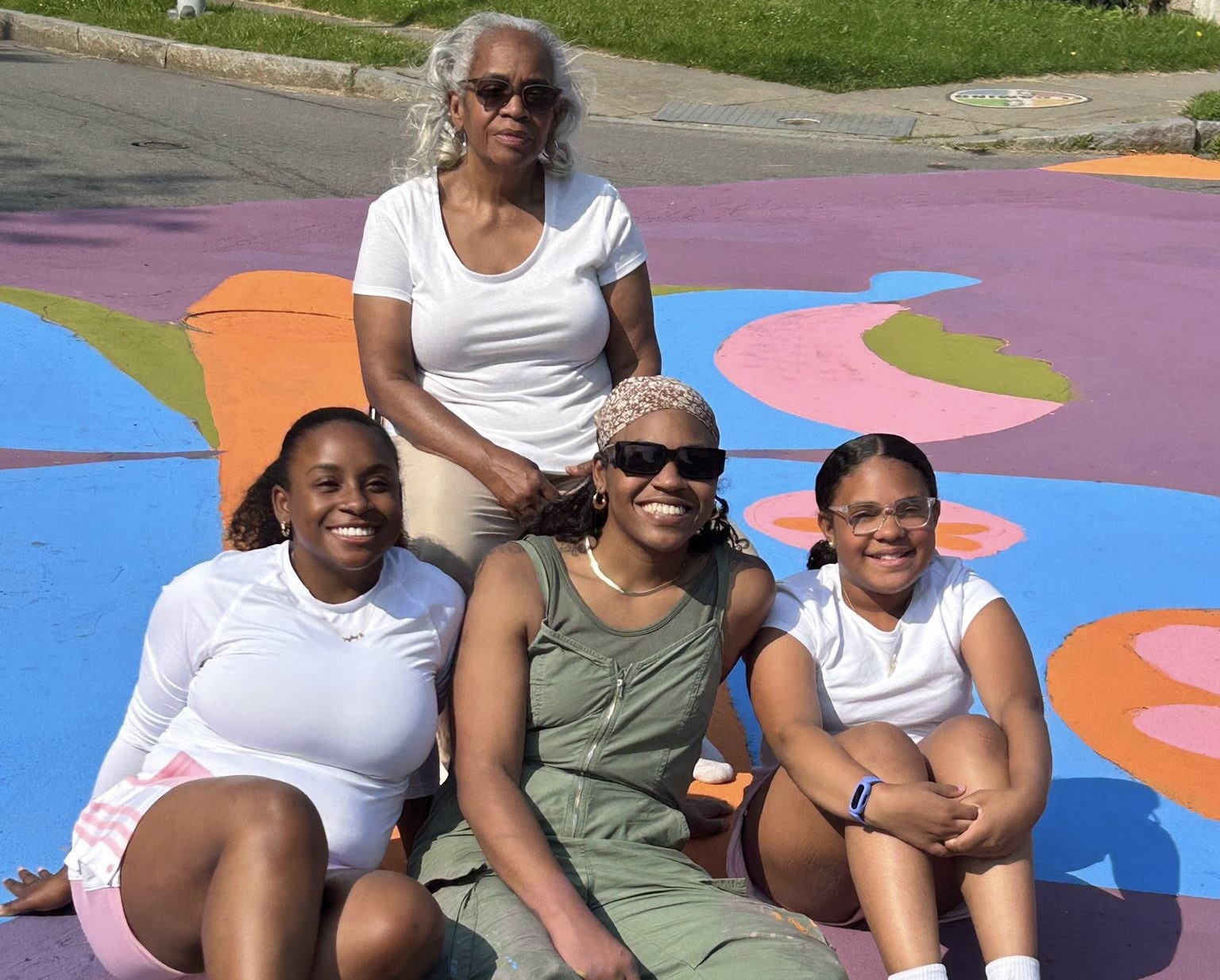
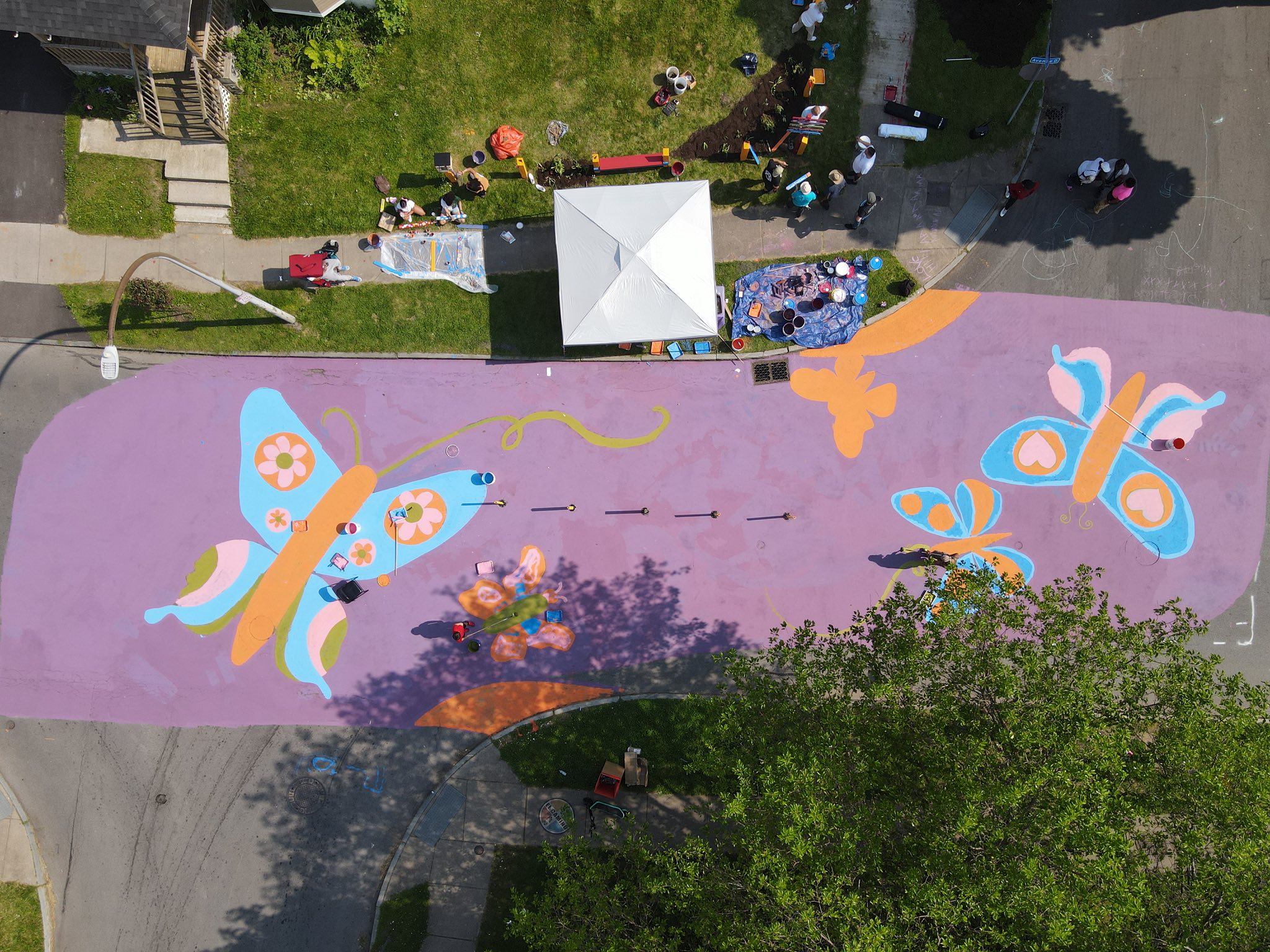
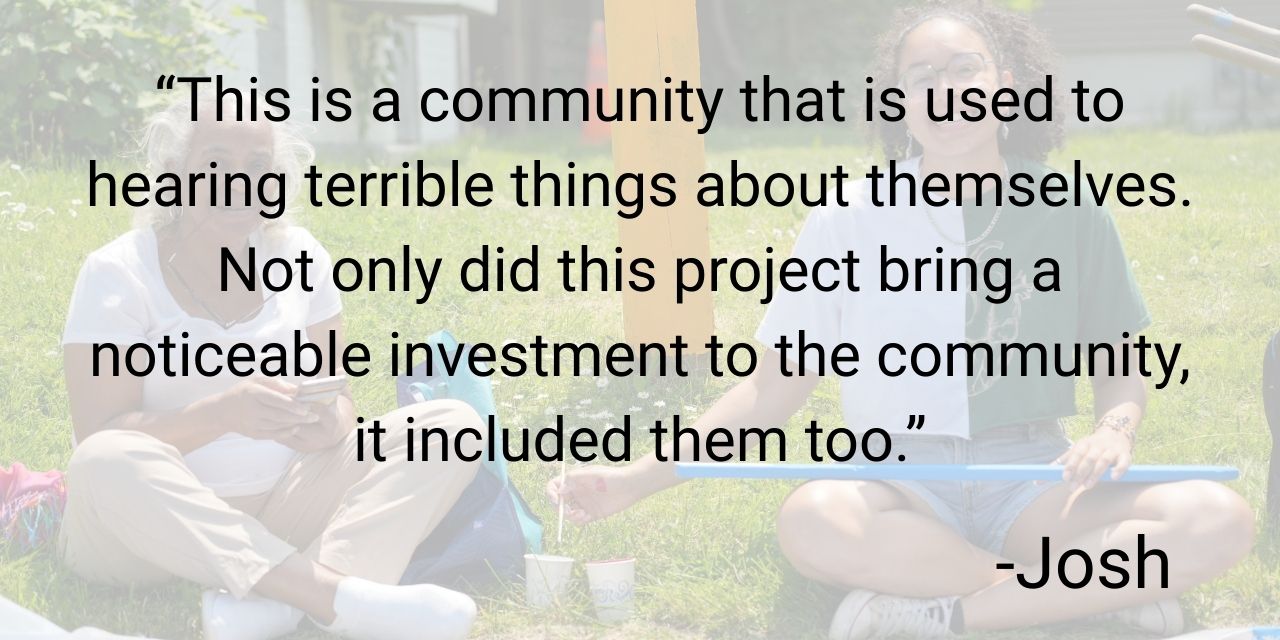
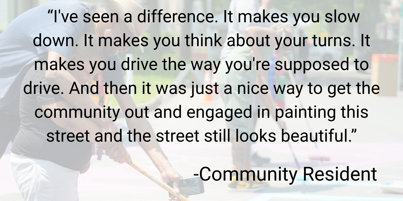
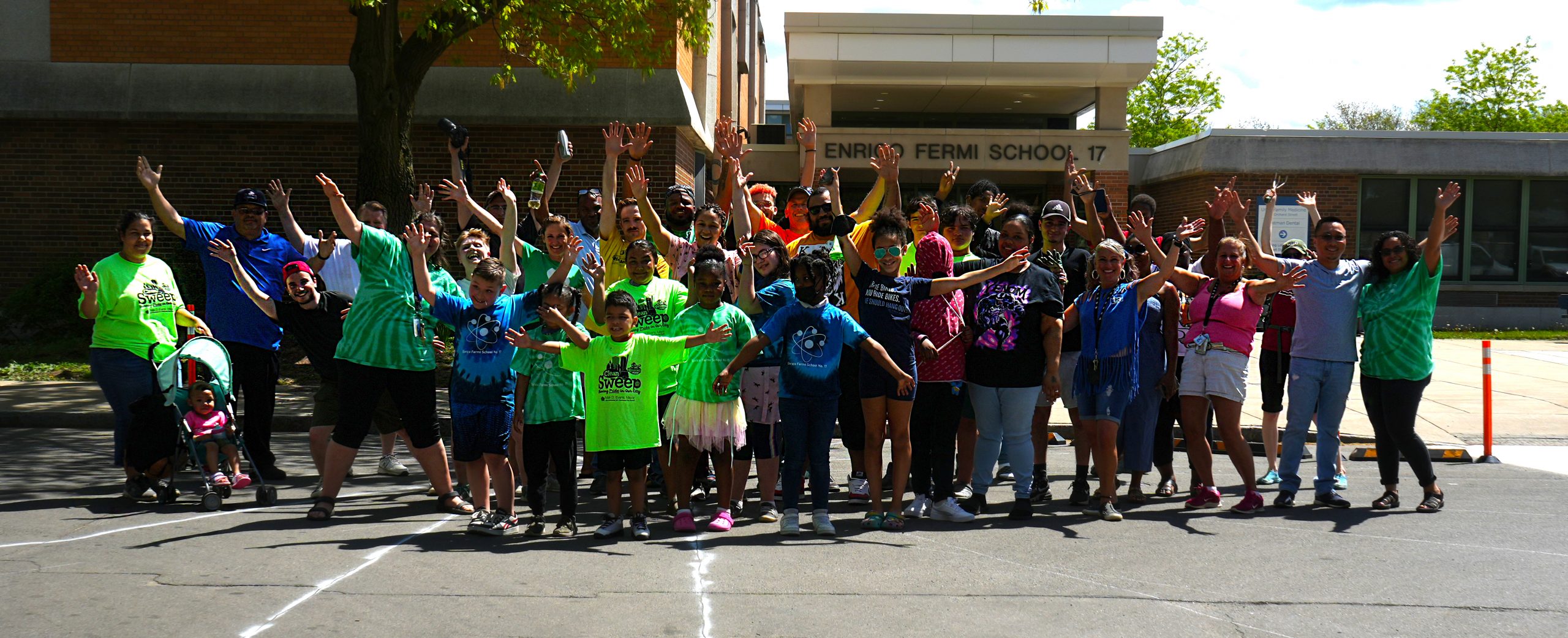
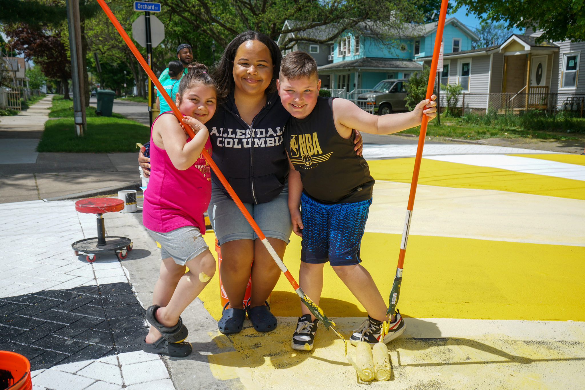
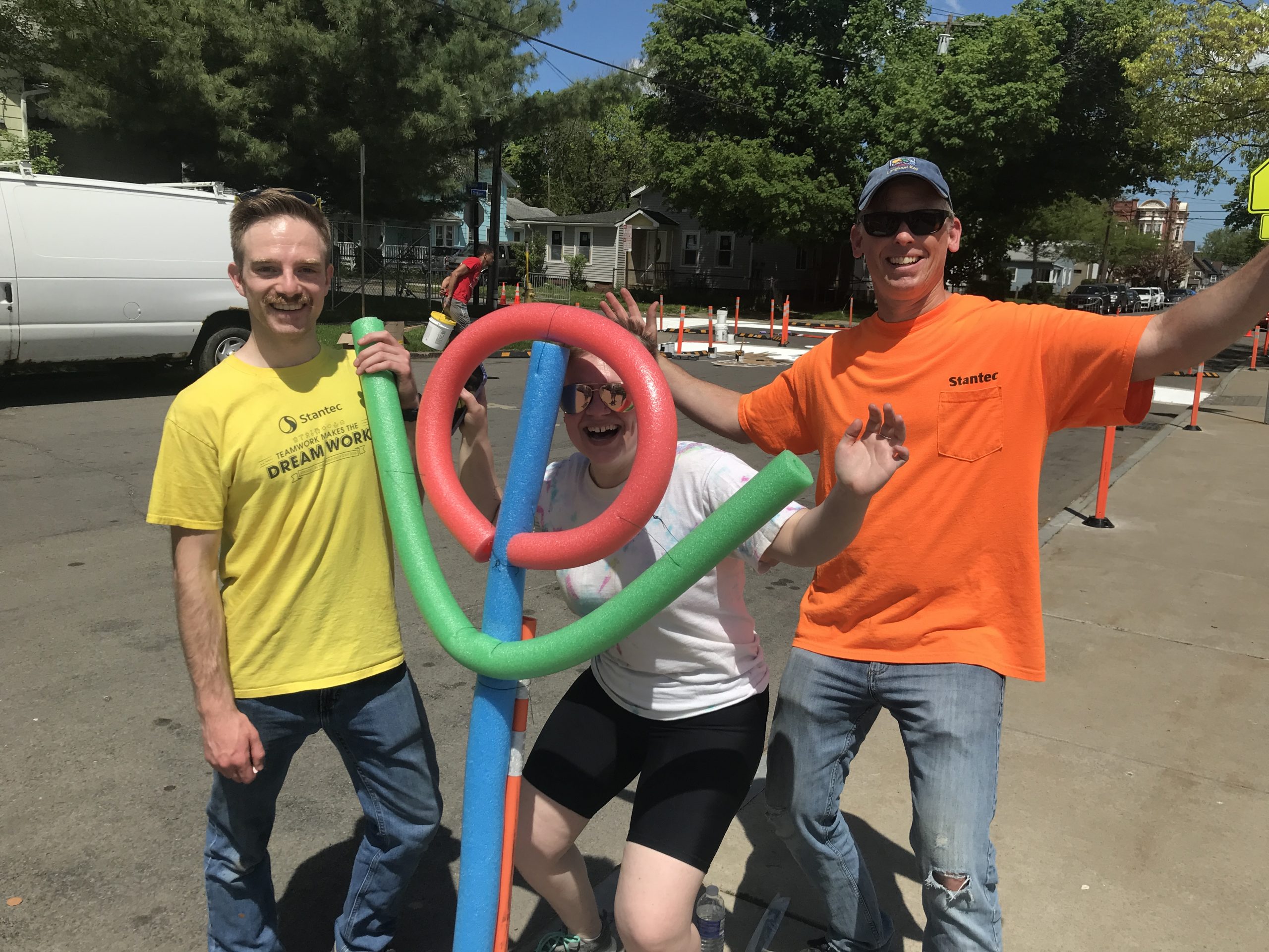
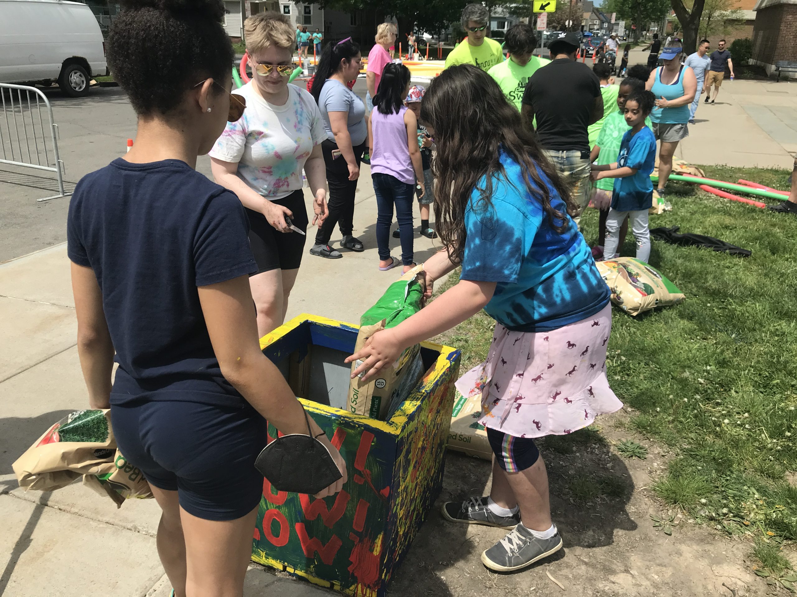
At the installation in May, more than 100 neighbors came together to paint, volunteer, celebrate, and reclaim their intersection. With a vibrant burst of color and tributes to Rochester’s Flower City logo, this design transformed the space to reflect the pride and spirit of our community.
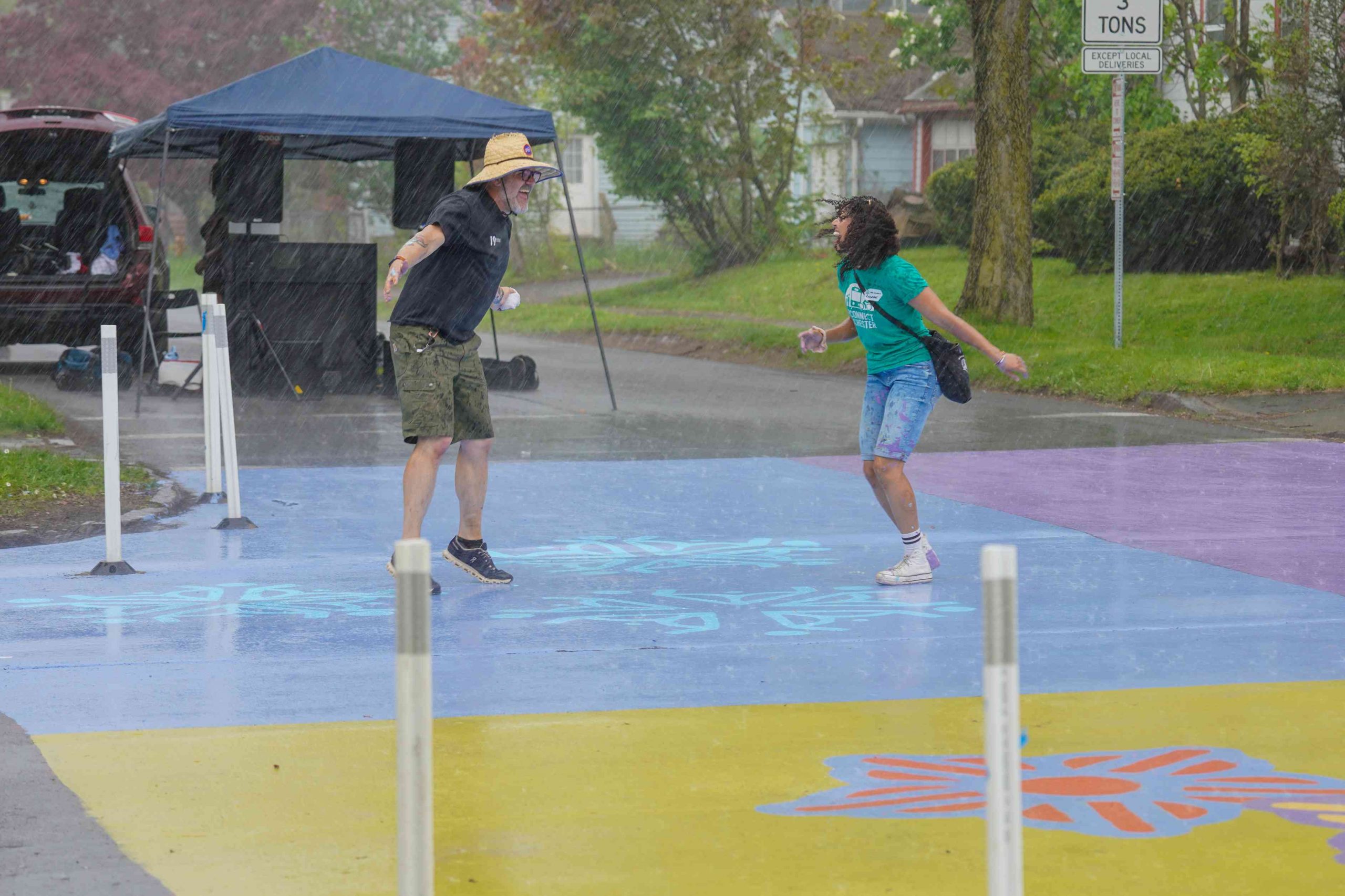
Just as the last of the paint was drying, the sky opened up with rain yet volunteers stayed to pack up supplies and help one another. The timing was eerily perfect as the design was finished! We are so grateful for the camaraderie and giving spirit of our 19th Ward neighbors.

Nothing captures the life of a project better than film. Reconnect Rochester is pleased to share this short film, produced by Floating Home Films, that tells the full story.
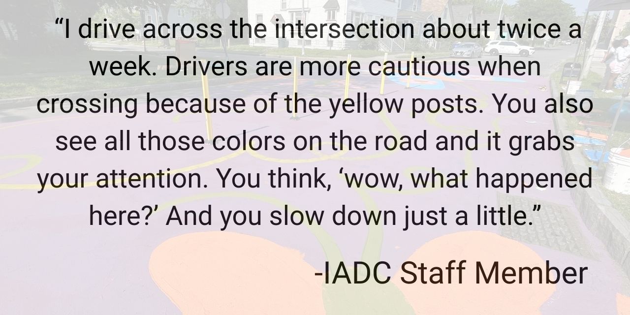
The Impact
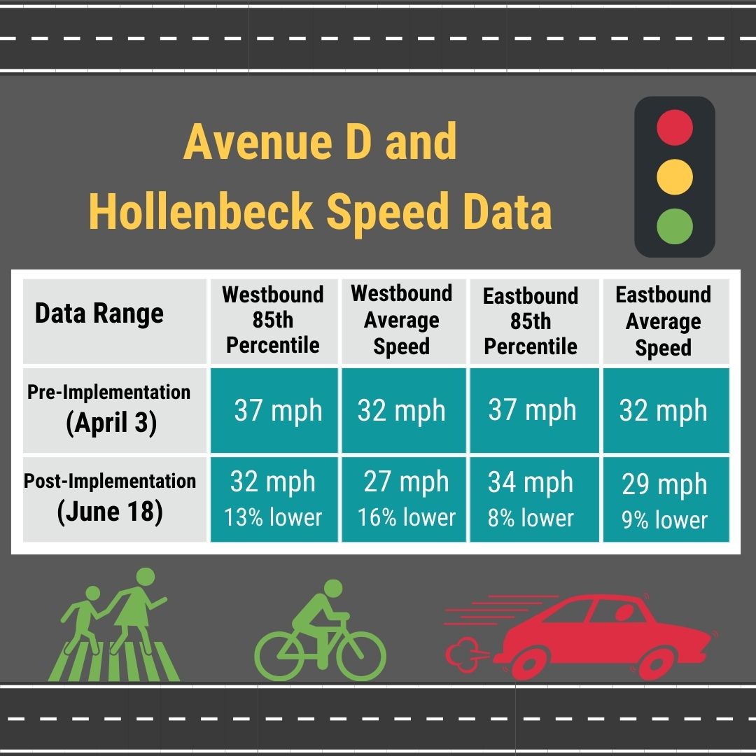
But did it make a difference? YES!
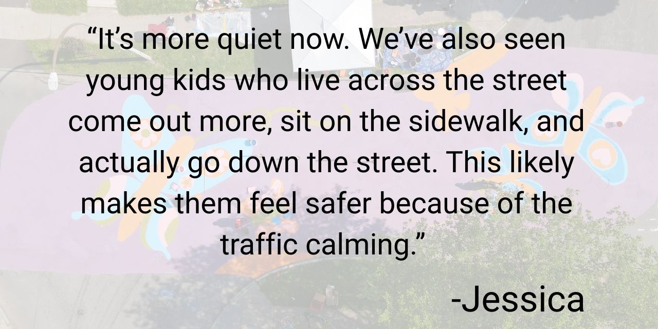
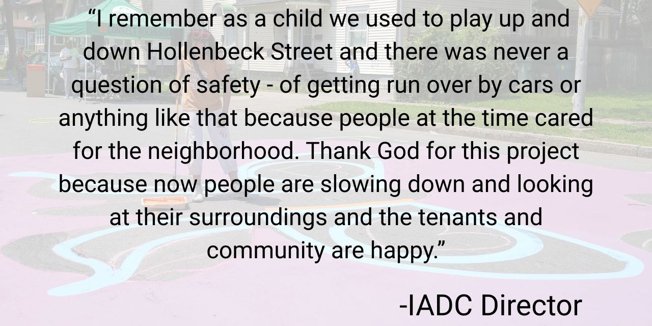
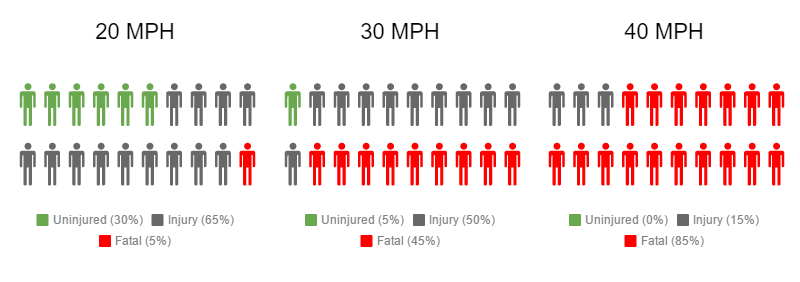
Drivers traveling above the posted 30mph speed limit decreased by nearly 18%. More importantly, the changes weren’t limited to just the fastest drivers. Speeds decreased across the entire range of drivers, especially for eastbound traffic, showing that this encouraged safer driving behavior overall rather than simply curbing the most excessive speeding.
This type of broad behavioral change is exactly what traffic engineers hope to see from “self-enforcing” street design. Research shows that by using visual cues and subtle geometric changes, projects like this encourage drivers to choose safer speeds naturally, without overreliance on enforcement to slow speeds.
Even small reductions in vehicle speed can significantly improve safety for people walking and biking, reducing both the likelihood of a crash and the severity of injuries if one does occur.
Learn even more about the Complete Streets Makeover of Genesee Park and Pioneer
- Intersection of Genesee Park Boulevard and Pioneer Street in Rochester gets a colorful paint job on Saturday (WHEC)
- Rochester intersection gets a makeover as part of an effort to improve safety (13 WHAM)
- Reconnect Rochester gives 19th Ward intersection ‘Complete Streets Makeover’ (WROC)
- 19th Ward intersection gets redesign this weekend (Democrat and Chronicle)
- Paint instead of speed bumps: Rochester testing new way to make busy intersection safer (WHEC)
Looking Ahead
In the eight years since we began the Complete Streets Makeover initiative, we have seen time and time again when communities are given the tools to reimagine their streets, safer neighborhoods become possible.These temporary projects help city officials evaluate future investments while transforming neighborhood experiences into meaningful transportation data.
Keep nominating intersections and trouble spots you experience in your daily travels that could use a re-design! Together, we’ll keep advocating to design our streets for people, and we’ll keep making it happen one intersection at a time.
*Community Partners
The Complete Streets Makeover of Genesee Park Blvd & Pioneer St is a collaborative venture with the following community partners:
The Healthi Kids Coalition, convened by Common Ground Health
Genesee Transportation Council
19th Ward Community Association
Cub Scouts Troop 1965
Southwest Neighborhood Services


