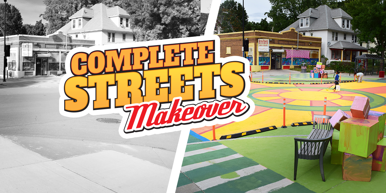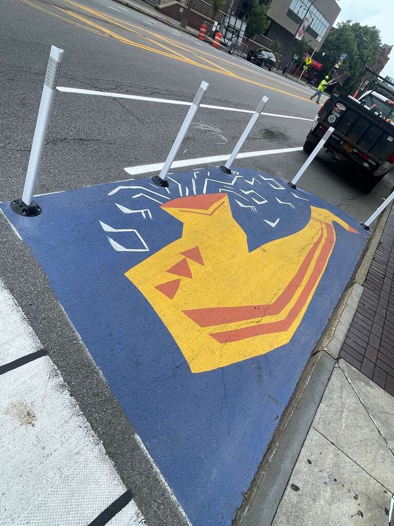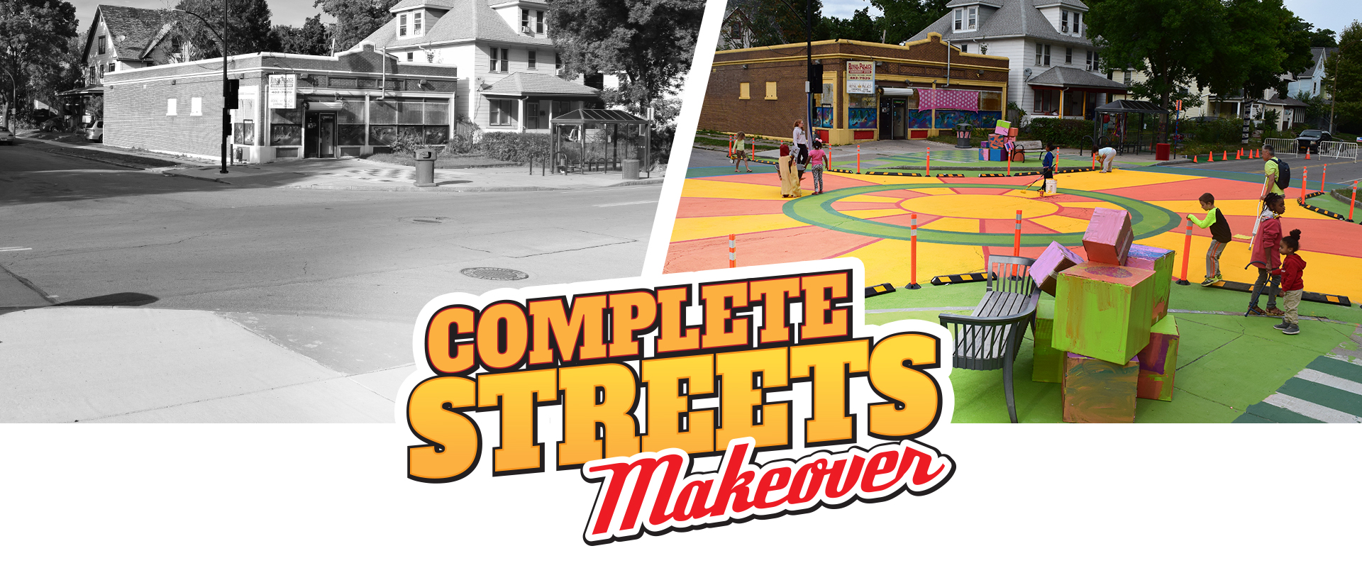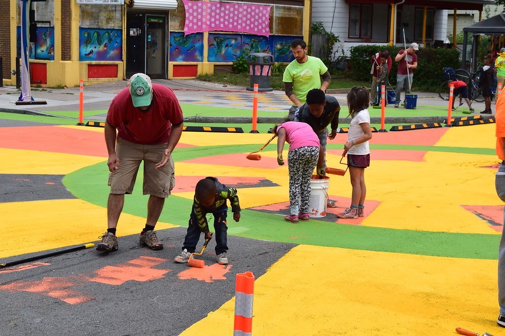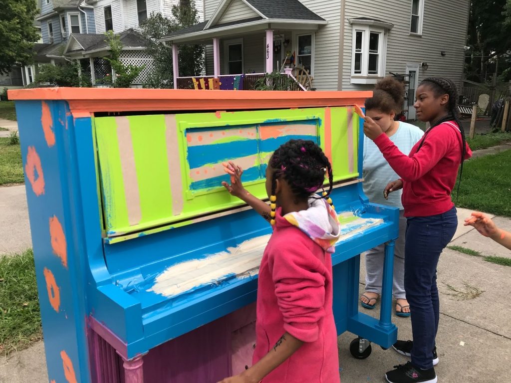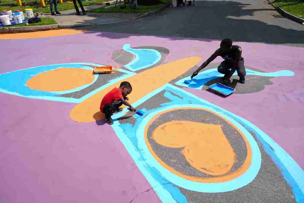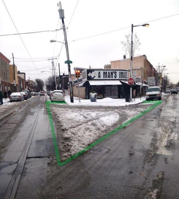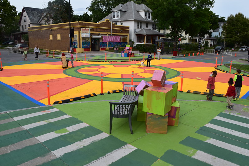
In June 2025, we launched our Downtown SmART Streets project with two on-street installations that boosted pedestrian safety and attracted media coverage. We had a great time collaborating with local artists to design and install murals for our seasonal curb extensions at E. Main & Gibbs Street as well as Broad and Fitzhugh.
The main goal of curb extensions is to slow down turning vehicles by narrowing the space available and shorten the distance that pedestrians have to interact with cars in the road. Following the installations, more than two-thirds of survey respondents said they felt safer crossing at these intersections. Perceptions of safety emerged as the strongest indicator from last year’s project that the improvements are making a difference while adding a splash of creativity to downtown Rochester.
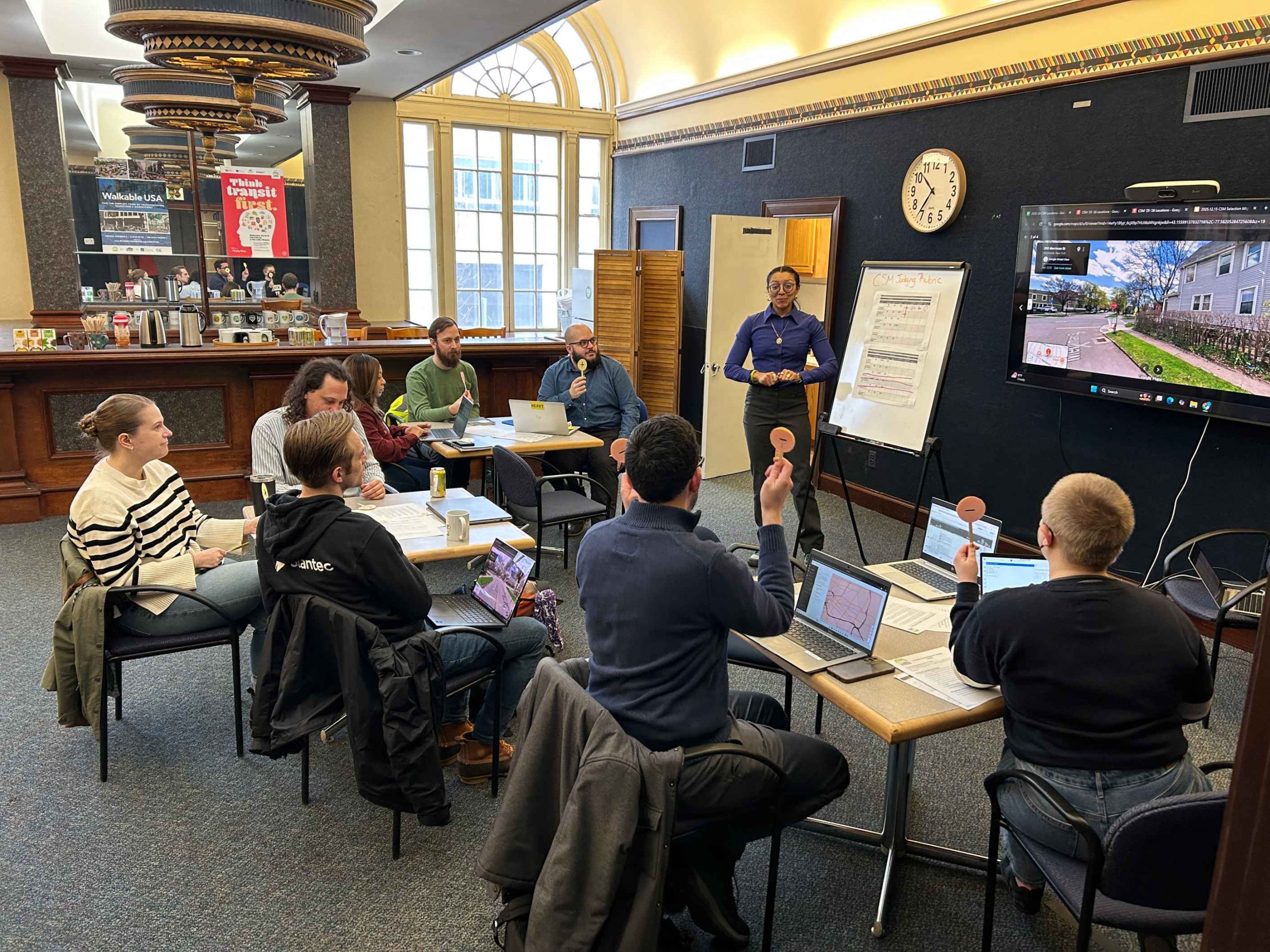
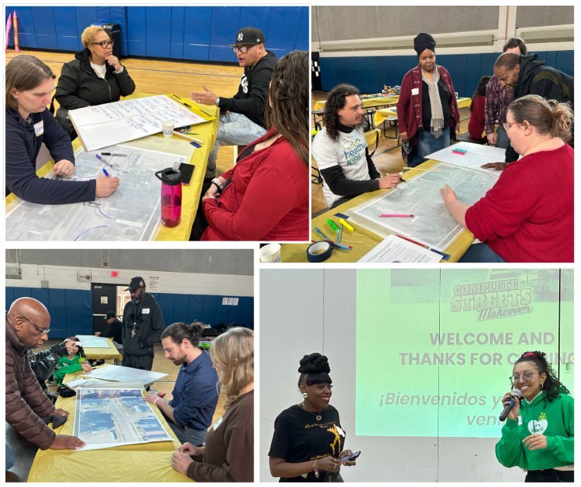
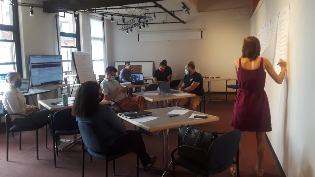
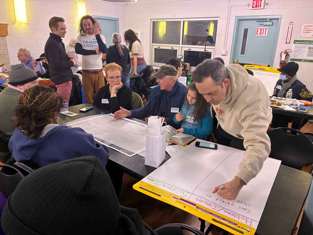
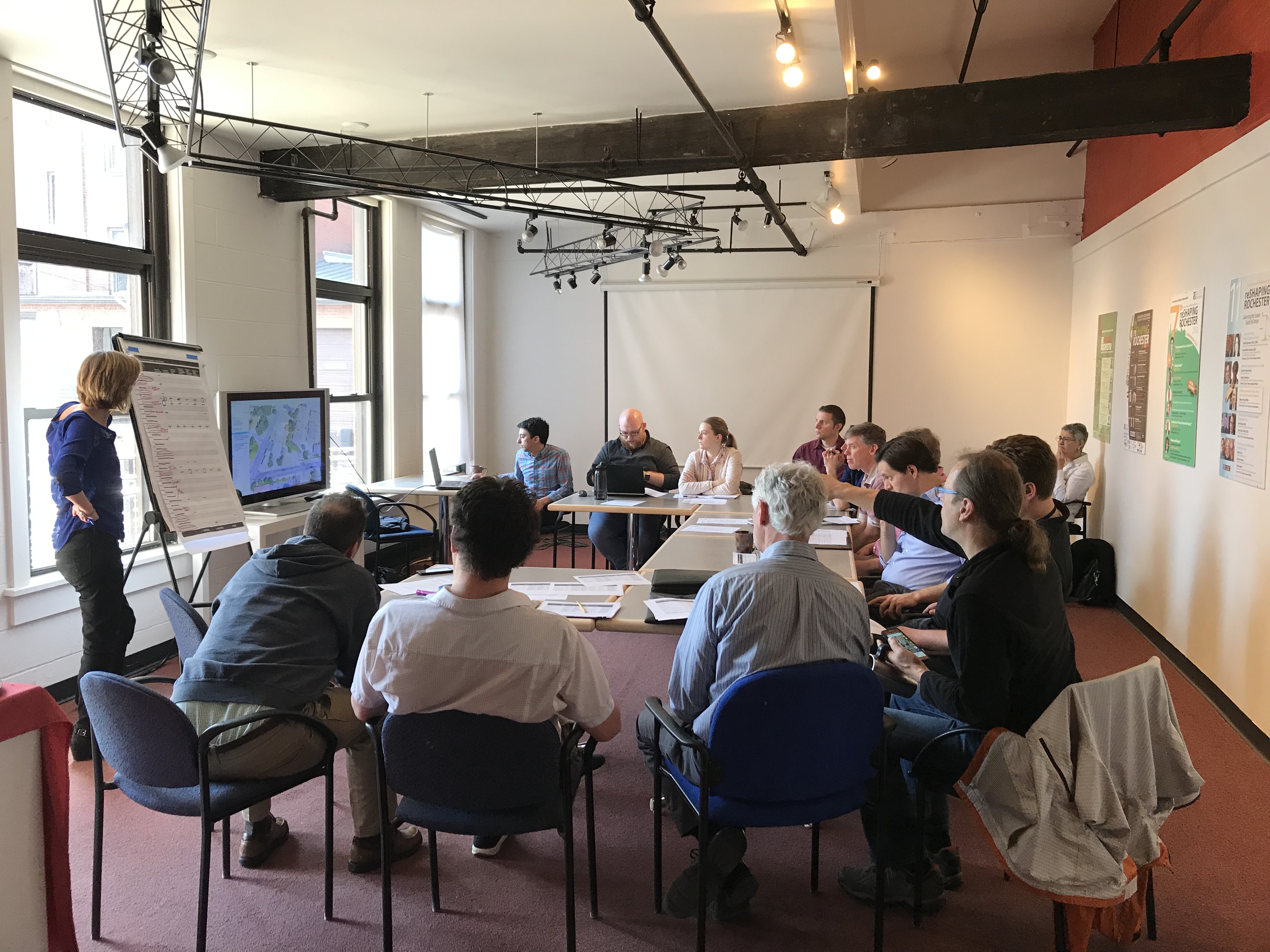
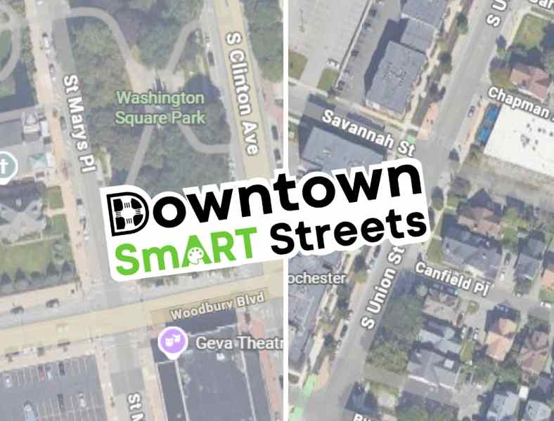
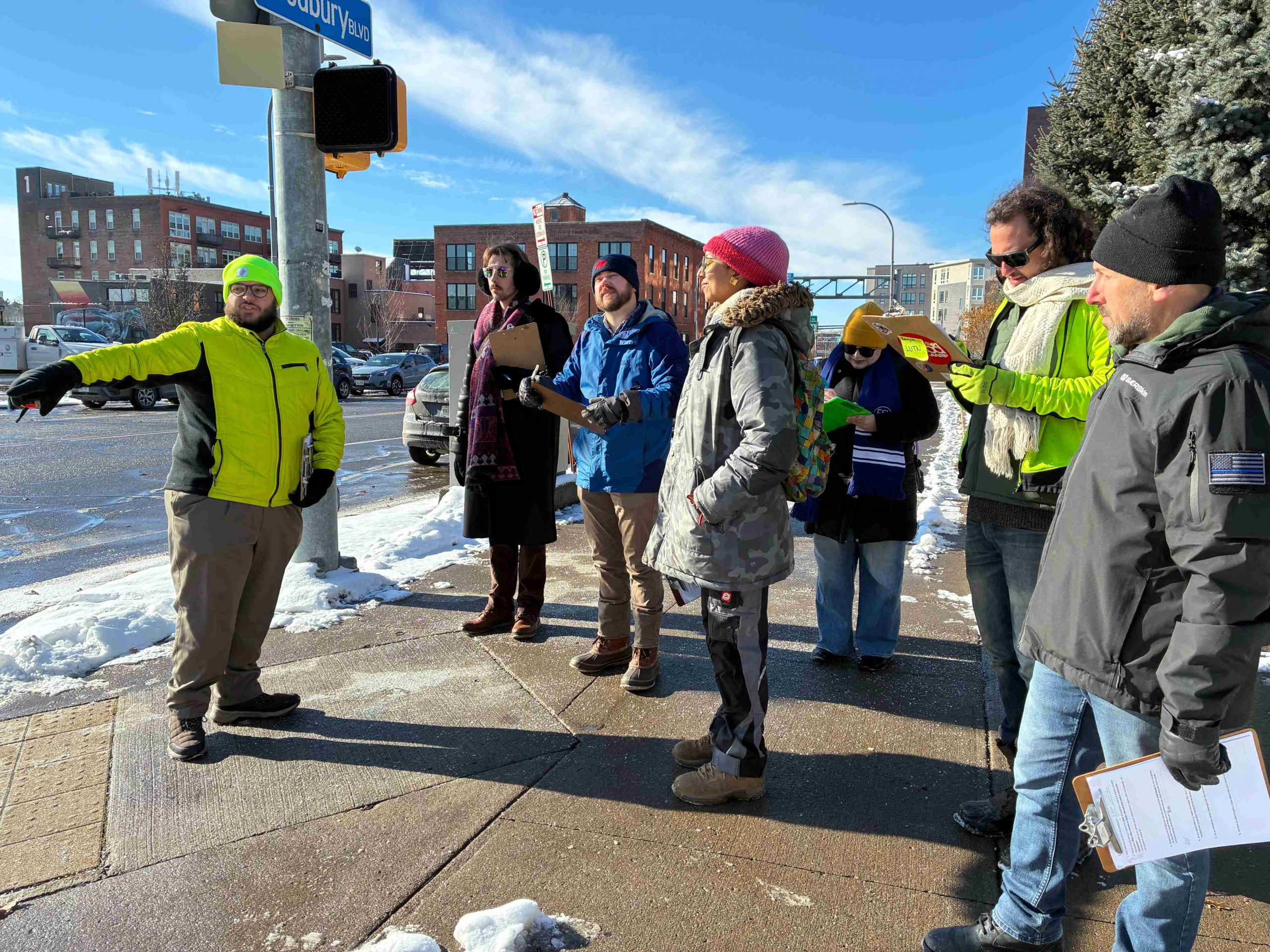
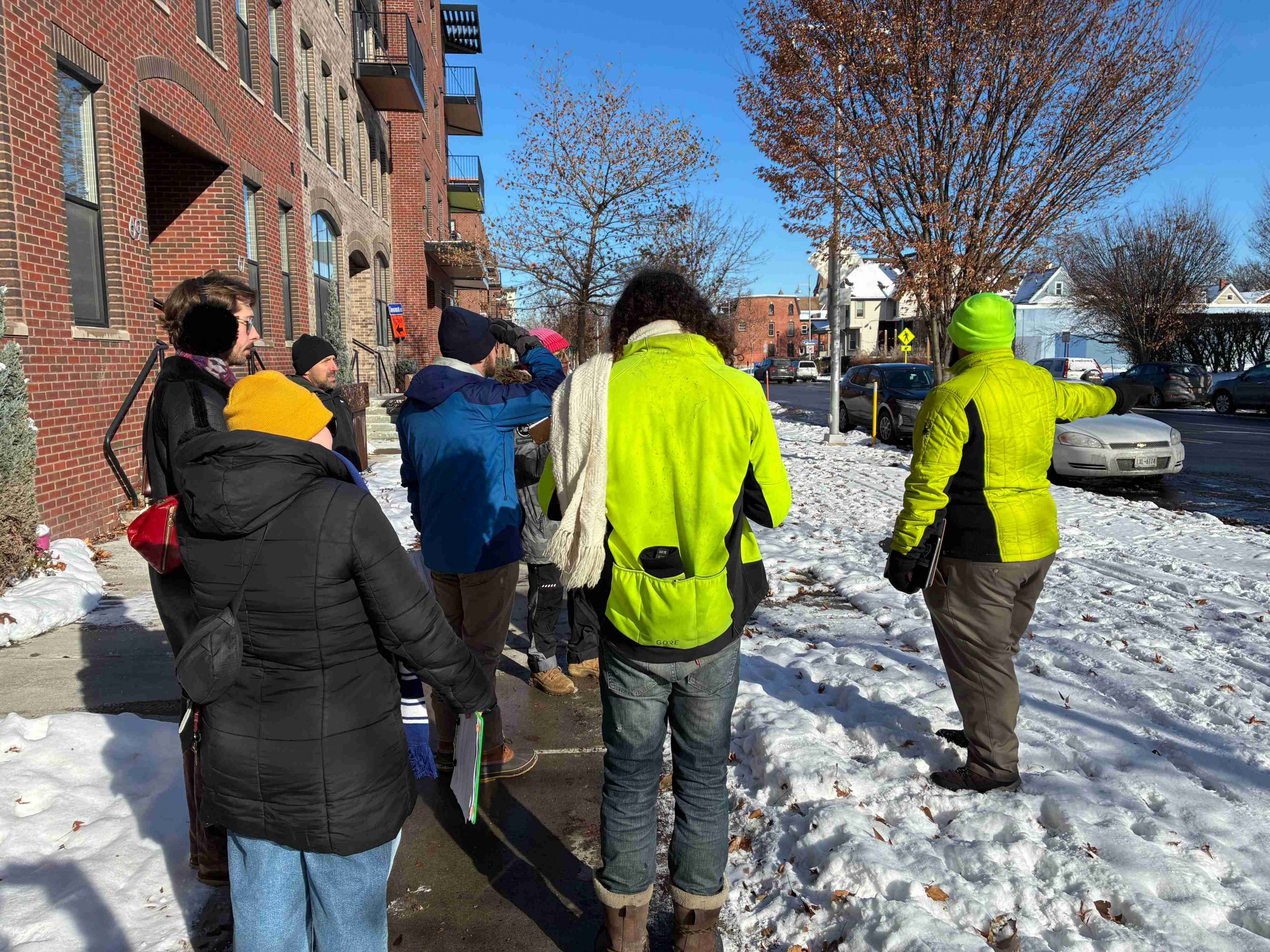
Using lessons learned from last year’s debut of the project, our Community Advisory Committee (CAC) met again in late 2025 to walk through downtown and assess potential locations for the next two installations. As we explored the streets together, we discussed areas with safety concerns and places with the greatest potential for improvement. We also considered pedestrian and vehicle traffic, along with proximity to busy downtown spaces.
Without Further Ado, Our Selections!
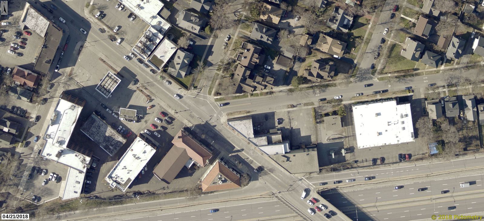
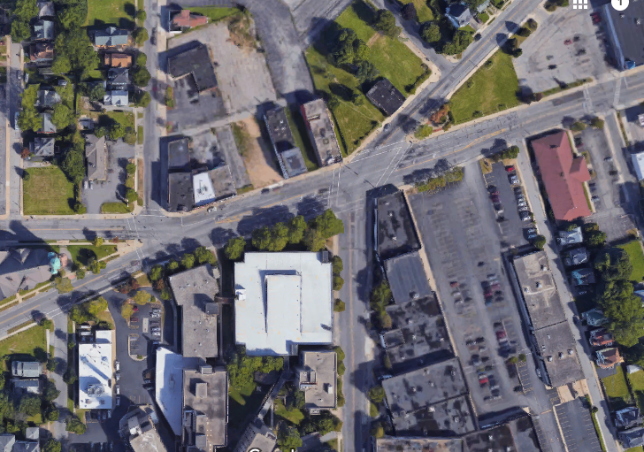
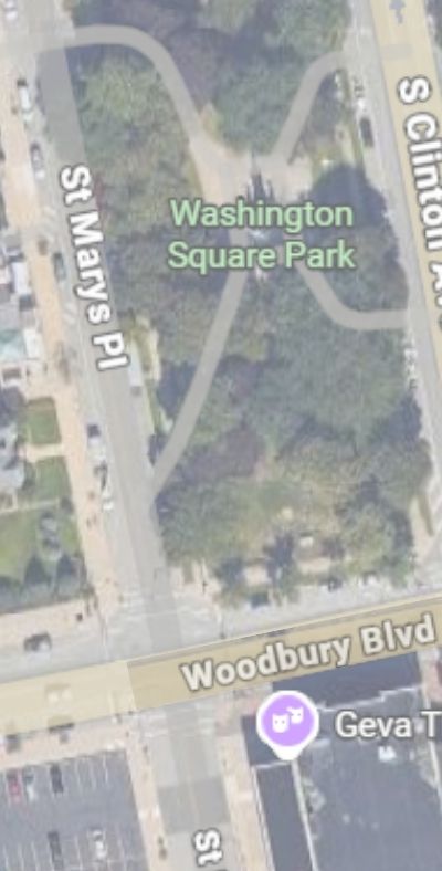
Woodbury Blvd & St Mary’s Place
And
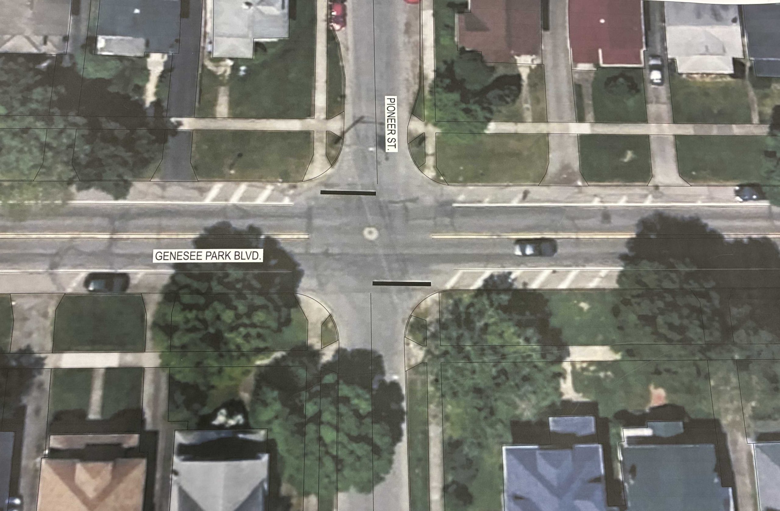
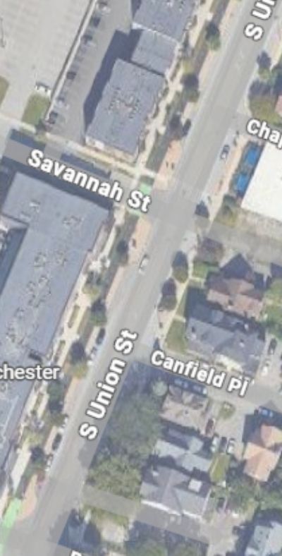
S. Union, Savannah, & Canfield Place
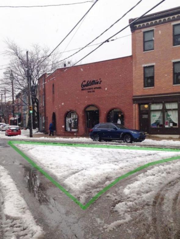
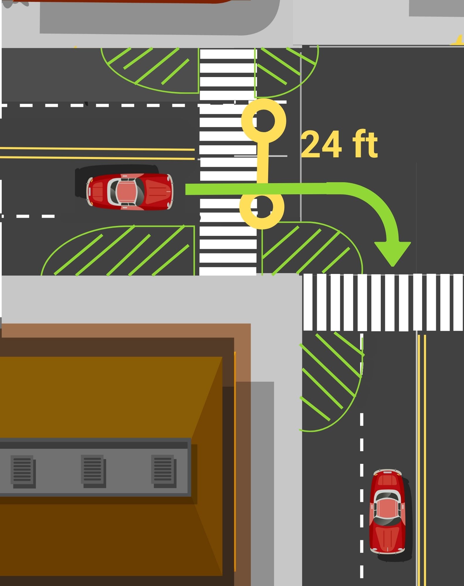
Why Woodbury Blvd & St Mary’s Place?
Woodbury and St. Mary’s offers a clear opportunity to redesign the streetscape and better allocate space. Plus three of the four corners of this intersection are home to Washington Square Park, Geva Theatre, and St Mary’s Catholic Church; with all the various programs that draw people to those places.You can also find Fuego Coffee just a hop skip away. This project will create a more comfortable crossing for the many visitors and downtown residents who pass through the area on foot.
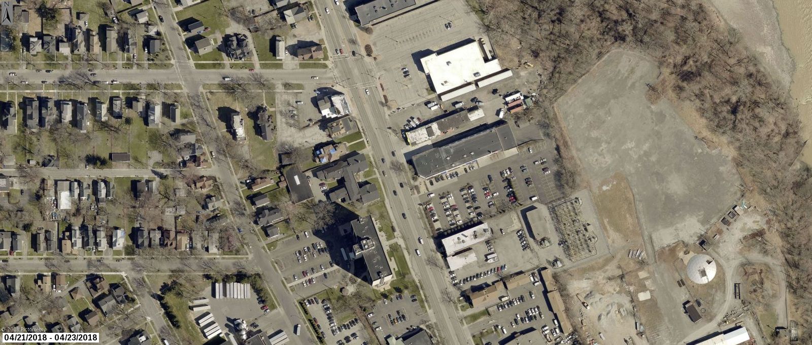
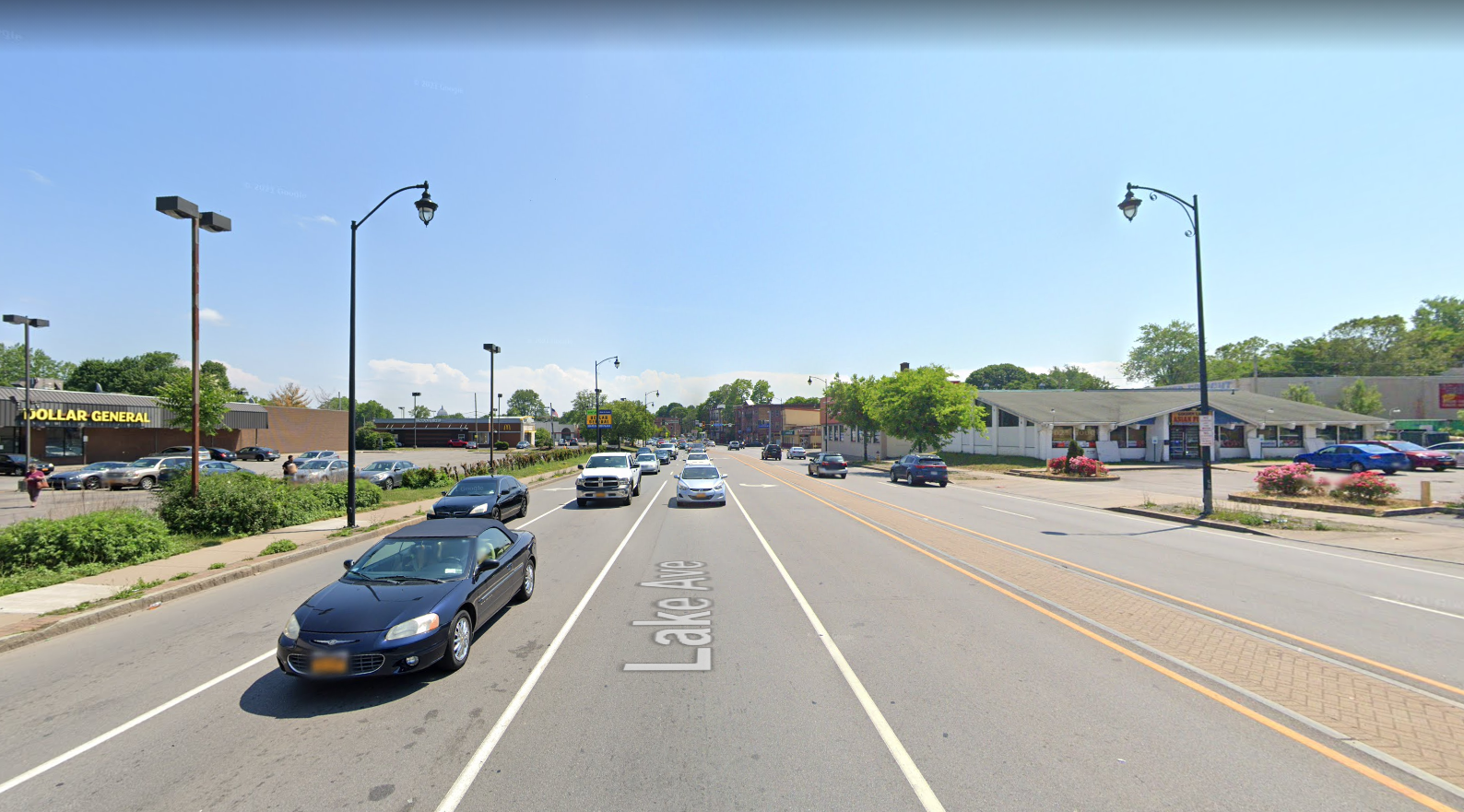
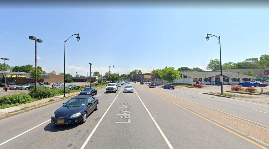
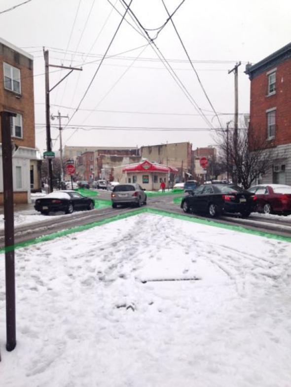
Why S. Union, Savannah, & Canfield Place?
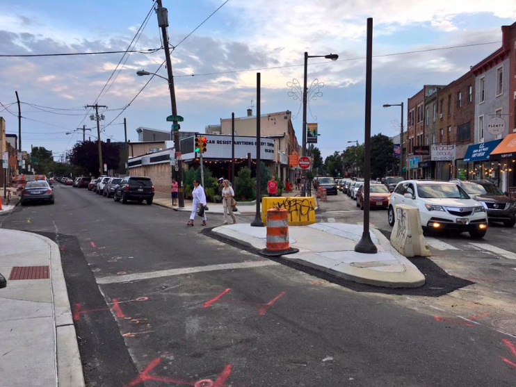
While we love the Union Street cycle track, this long, unsignalized, stretch of road offers little to deter high driver speeds. In turn, residents of S Union Street apartments, Strong Museum of Play visitors, as well as customers walking or rolling to places like Spotted Octopus, Fattey Beer Co, or Nerdvana, often struggle to find safe gaps in traffic when crossing.
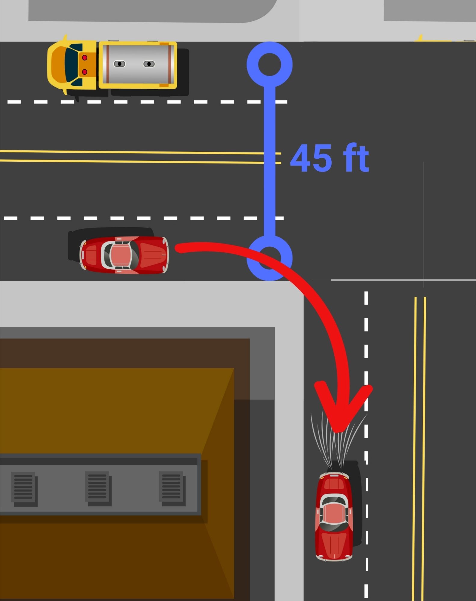
These concerns became even more urgent after a tragic hit-and-run pedestrian fatality in June 2025. A driver hit 70 year old Henry “Hank” Brown, long time doorman at Salinger’s, while he was crossing S. Union walking home from work. This tragedy was a factor in including Canfield intersection where Hank was hit and killed, in the project area. While the west side of the intersection already has a substantial bump-out, the east side could be improved to harden daylighting zones and prevent illegal parking.
Next Steps…
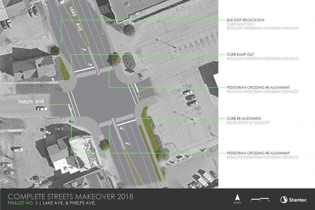
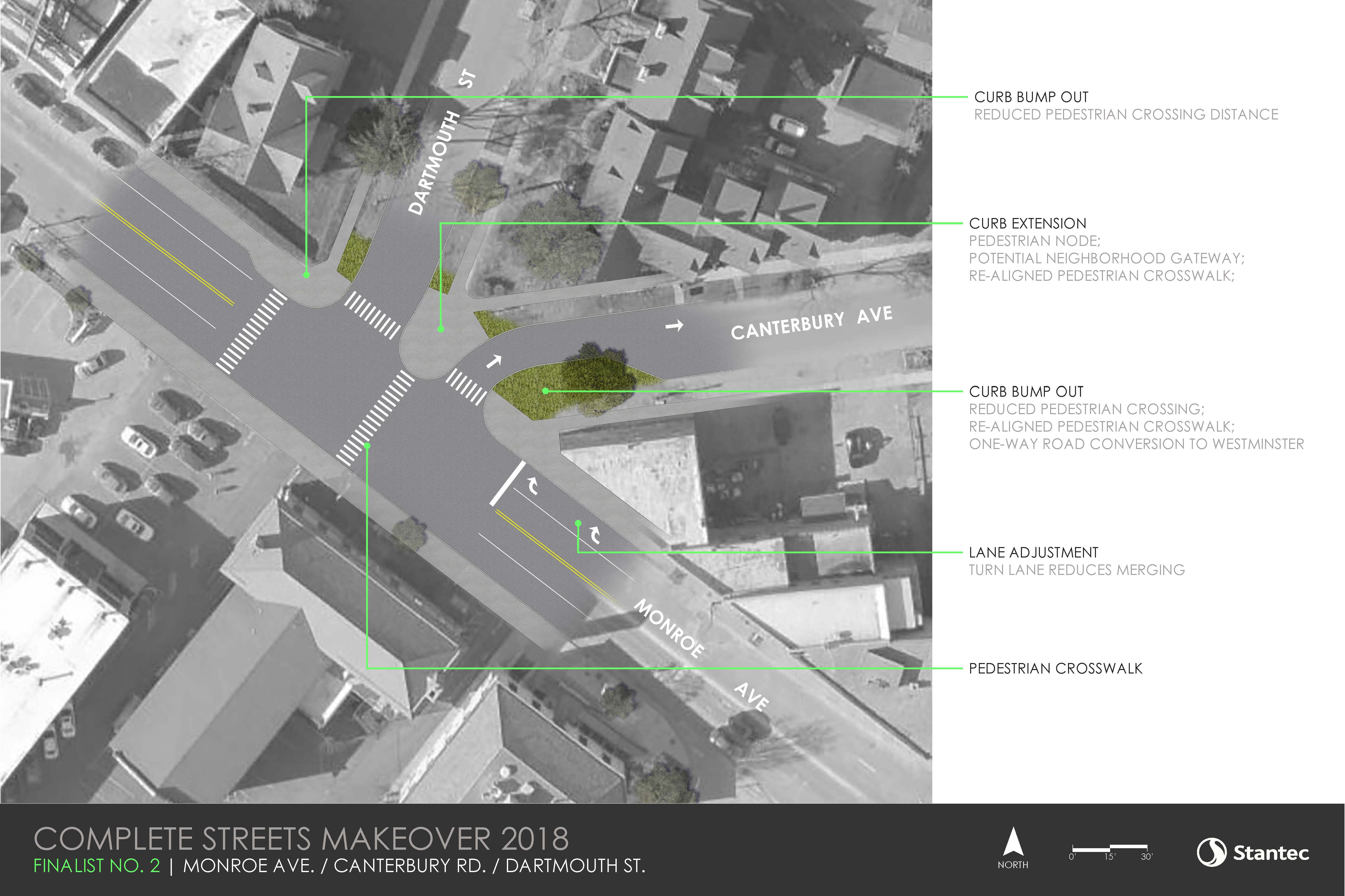
The design team at GPI is creating renderings to redesign the project area for a safer and smarter street. Renderings for both locations will be reviewed by Rochester’s Traffic Control Board. Once the street safety design and artwork for the murals receive proper approval, we will gear up to bring these concepts to reality this spring/early summer!
We need volunteers for this project! Want to help us paint?! Reach out to project manager, Lourdes Sharp (Lourdes@ReconnectRochester.org, 585-210-9716) to explore opportunities.
We will also be updating the paint and reinstalling the delineator posts for both of our 2025 installations at E. Main & Gibbs Street and Broad and Fitzhugh! Have you visited one of these installations from last year? Let us know what you think!
*Community Partners
The Healthi Kids Coalition, convened by Common Ground Health
Genesee Transportation Council
With generous funding from ESL