![How would the RTS coverage map look if we considered the actual frequency of bus service. [IMAGE: Regional Transit Service]](http://www.reconnectrochester.org/images/photos/rochester-transit-map-full.gif)
Posted by: Mike Governale, president and co-founder of Reconnect Rochester
The map above shows Rochester’s public transit network. Looks impressive with all of its lines stretching out across Monroe County. From Webster to Chili; Greece to Penfield; there’s a bus or two to get you there. On the other hand, if our transit network were really as good as it looks on this map, why are less than 2% of all trips in Rochester made using public transit?
Hmmm… Maybe because parking is cheaper than air here in Rochester?
Well, yes. But also, this map might be overstating the effective reach of RTS. Remember, a transit system is only good if it’s there when you need it…


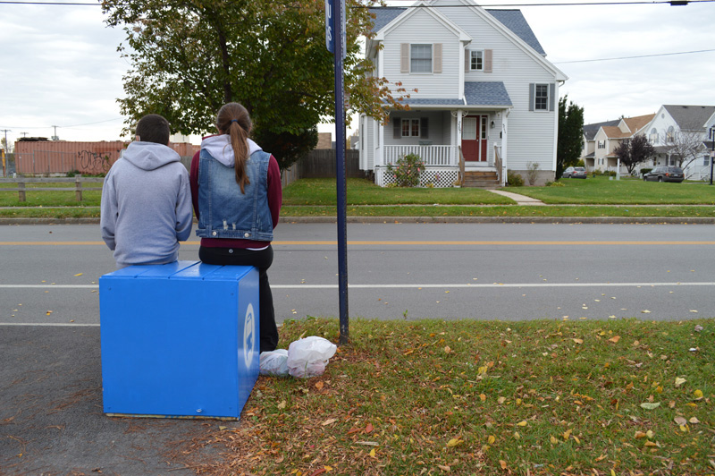


![A shrink-wrapped bus advertisement on Main Street, Rochester. We asked RTS about these advertisements on behalf of one of our Facebook followers. [PHOTO: Google Maps]](http://www.rochestersubway.com/images/photos/rochester-rts-wrapped-bus.jpg)


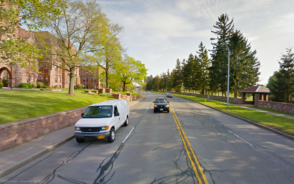
![Pedestrians, cyclists, and transit riders in Rochester (and across New York state) will soon benefit from a new Complete Streets law. Thanks to the volunteers at Reconnect Rochester and outspoken citizens like you! [FLICKR PHOTO: _Yoshi]](http://www.rochestersubway.com/images/photos/monroe-avenue.jpg)
![Pedestrians, cyclists, and transit riders in Rochester (and across New York state) will soon benefit from a new Complete Streets law. Thanks to the volunteers at Reconnect Rochester and outspoken citizens like you! [IMAGE: Reconnect Rochester]](http://www.rochestersubway.com/images/photos/mode-prioritization.gif)